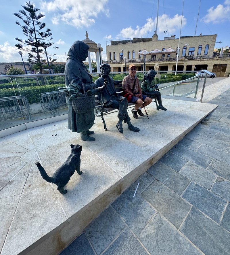
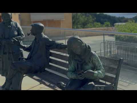
How people interact with the world around them then and now. On the left our ancestors interacting directly with each other in conversation; right: a young woman tapping on her mobile phone chatting with people unseen. In the middle is Dad and I would say that while he uses a mobile phone he is closer to the people on the left. He would reach down and pet the cat if he could. I wonder if the young woman would notice it.
--September 22, 2026 at 10:01 AM.
Maps are centered on the photo: Google map, Apple map, CalTopo mapOpenTopoMap map
On Monday Dad was fighting an illness so we had a day to just hang out by the hotel. The town around the hotel is a busy one and there may be things to do but it is not a town that we feel is friendly to pedestrians. No doubt if you are used to the narrow sidewalks and stepping onto the streets with their two-way traffic and little room to squeeze by parked cars you will do fine. We are not those people.
On Tuesday Dad seemed to be well on the way to full recovery so we were able to do one final walk. We had thought about doing a boat tour instead and while our reasoning for cancelling that made sense hindsight suggests we’d have been better off doing that. Oh well. The walk could take us all the way to Xlendi but we were only going to do a portion of the 13km walk; somewhere between 4 and 6km I think. It would take us through the town and then along the coast. We were hoping for good views and a pleasant walk. We got the views.
We got ourselves confused a couple times by either mis-understanding the walking notes or, less charitably, the walking notes were just confusing. But we eventually made our way down to the sea where scuba divers were prepping to dive. THe water is lovely here and I believe they are diving shipwrecks which could be exciting I suppose. We plodded on along the path we thought we should take. We missed the easier path. We took the tougher route. Down the rough path, finally no paving but limestone and dirt, and worked our way slowly closer to the sea. It was rocky and the footing not ideal. Toss in the fact that the limestone and dirt are a uniform honey color and it becomes particularly hard to see undulations, dips, steps, in our way. It does so for me. I missed one and fell landing more on the left side/shoulder than not but I think my shoulder came through ok. My confidence: not so much. Mom and Dad had to wait a while while I collected myself and let my body calm down. But we were at another place where people were gathered to enjoy the beach. This was a place an Uber could come and pick us up for a drive back to the hotel and our intended end point. I think we had covered not much more than 4.5km. We were done.
Too many of the walks are under shade-free skies and on hard durable surfaces-not to our liking. We have had some challenges over the past week and sadly while Dad was recovering from the bug, it migrated to Mom and me. The next two-three days we felt pretty cruddy and since one of those days was the travel day to Verona that just made it worse for Mom, who got it first. Hopefully as I type this here just after sunrise on our first full day in Gargnano on Lake Garda we have all returned to something approaching proper health.
Photos and Videos
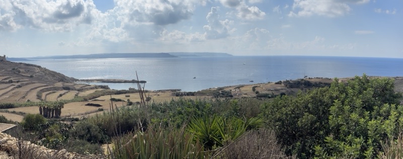
I am not sure of the naming of the bay.Is it Ramla or Mgarr Bay. After we leave the artistic bench this is the region of sea we saw.
--September 22, 2026 at 10:54 AM.
Maps are centered on the photo: Google map, Apple map, CalTopo mapOpenTopoMap map
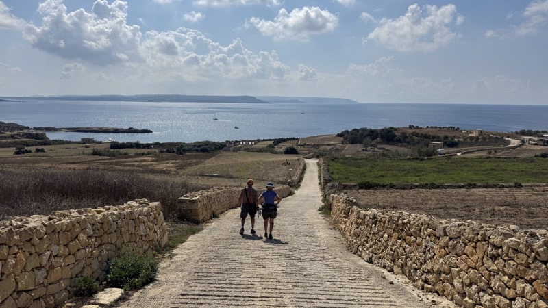
Steep descent down to the bay. Those ridges might help give this concrete one-car wide road more friction when wet.
--September 22, 2026 at 11:08 AM.
Maps are centered on the photo: Google map, Apple map, CalTopo mapOpenTopoMap map
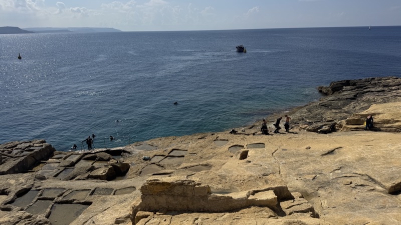
Lots of people here getting ready to scuba dive the waters here. We paused for a bit to watch the scene. Then we pushed on and ended up taking the tougher route which was definitely not our plan. We should have followed the paths higher up on the ridge than the one we did follow, which was closer to the water and featured some awkward footing on limestone and dirt.It was a bit challenging.
--September 22, 2026 at 11:21 AM.
Maps are centered on the photo: Google map, Apple map, CalTopo mapOpenTopoMap map


No comments:
Post a Comment