For over 20 years Andy has organized a trip to Pictured Rocks National Lakeshore. We usually go for four or five days over the Memorial Day weekend. The group hikes the Lakeshore Trail. However, this would be my first backpacking trip since shoulder surgery the previous fall so I decided to do something different and not slow others down. I’d spend time in the Beaver Creek wilderness before joining the group type the western part of the Lakeshore Trail.

Photos
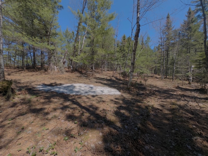
Patches of dense compressed snow linger on the Lakeshore Trail between Coves and Beaver Creek campgrounds. In a couple days they’l be much smaller though still not quite melted away.
--May 21, 2026 at 12:56 PM.
Maps are centered on the photo: Google map, Apple map, CalTopo map
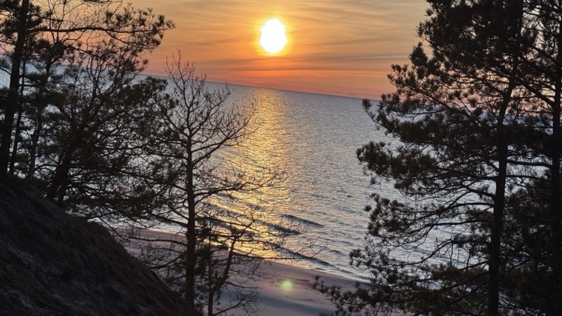
It was rather windy on the beach so I settled down on top of the bluff to watch the sun set over Lake Superior.
--May 21, 2026 at 8:57 PM.
Maps are centered on the photo: Google map, Apple map, CalTopo map
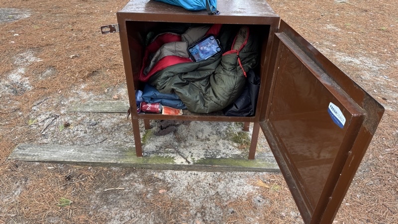
I have no idea why someone would leave this camping gear, cheap gear, in the bear box. Other gear was hanging off of a tree. I guess somebody felt they had to hurry back to their car and so left this bulky and likely heavy gear behind. Bad behavior: definitely not leave no trace.
--May 22, 2026 at 8:23 AM.
Maps are centered on the photo: Google map, Apple map, CalTopo map
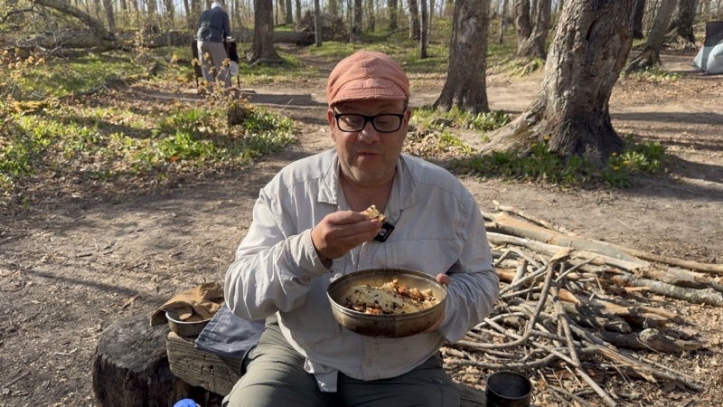
Time to try my baked here at Coves Group camp chocolate chip French-style yogurt cake. I baked this in my Hajka Outdoors Camp Oven: turned out rather well. Parker, for what it’s worth, gave it a 10 out of 10 though I suppose we need to give up a point or 2 for the enthusiasm of youth.
-- May 23, 2026 at 6:10 PM.
Maps are centered on the photo: Google map, Apple map, CalTopo map
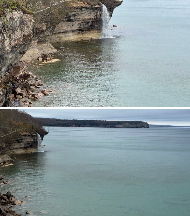
Spray Falls.
-- May 24, 2026 at 8:54 AM
Maps are centered on the photo: Google map, Apple map, CalTopo map
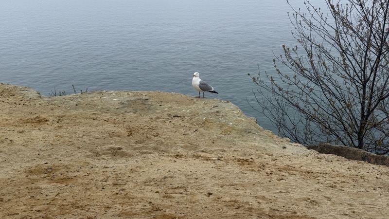
We are pretty sure this gull is guarding a nest.
--May 24, 2026 at 1:00 PM.
Maps are centered on the photo: Google map, Apple map, CalTopo map
Andy and I came down to this Rocky beach to watch the sun set. Sunset will be in about 70 minutes. It should be lovely for us and the people on tour boats who will see the sandstone cliffs bathed in colors far more clearly than we will.
--May 24, 2026 at 8:08 PM.
Maps are centered on the photo: Google map, Apple map, CalTopo map
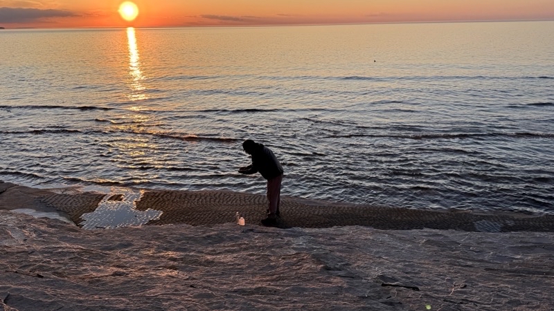
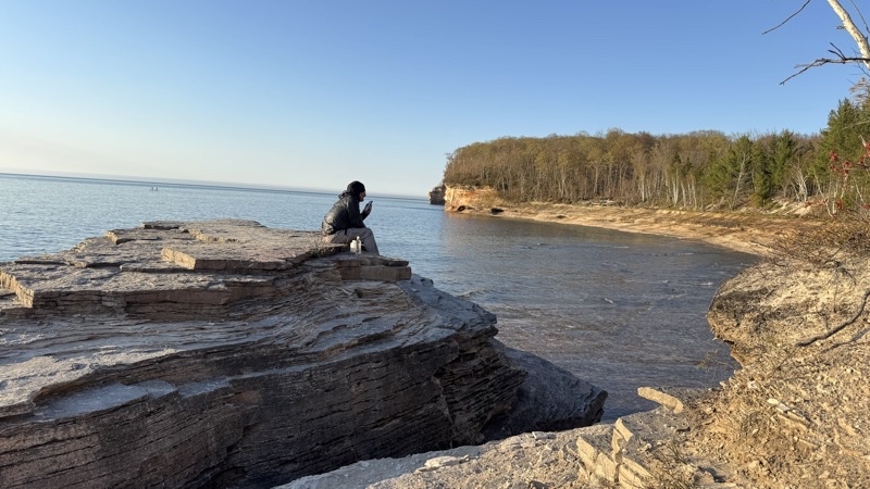
It turns out that the rocks Andy is standing over have an intriguing pattern on them. It’s just perceptible in the picture. Sunset is 10 minutes away.
--May 24, 2026 at 9:07 PM.
Maps are centered on the photo: Google map, Apple map, CalTopo map
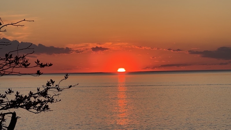
Just a few more minutes to go before the sun dips below the horizon. We started our walk back to camp just after I took this photo. The group campsite is about 0.25 miles away and twilight was fully upon us when we returned to the site.
--May 24, 2026 at 9:21 PM.
Maps are centered on the photo: Google map, Apple map, CalTopo map
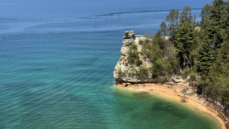
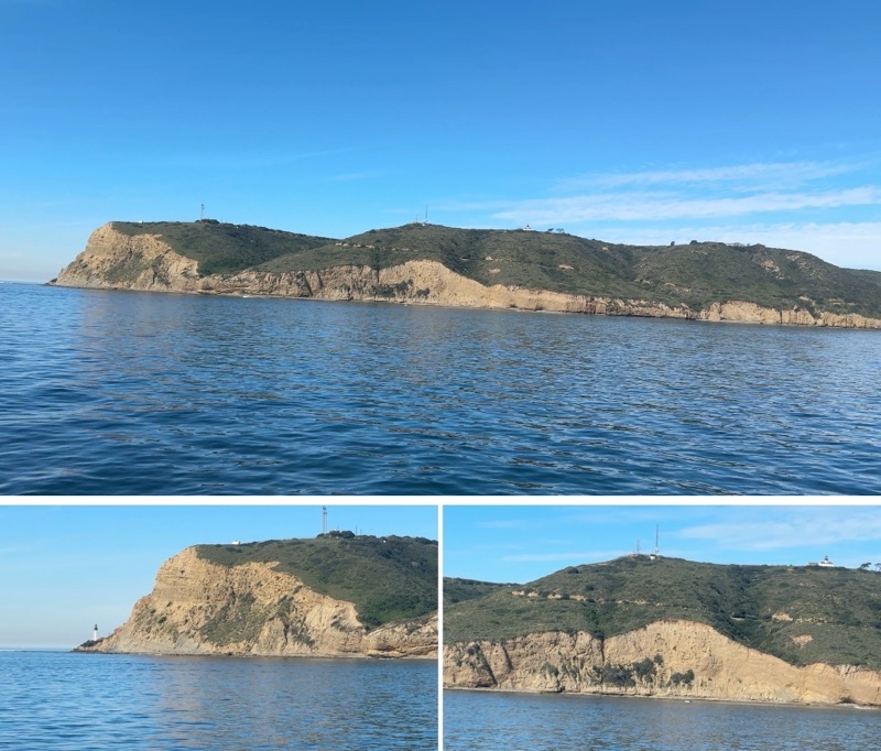
Miner’s Castle isn’t what it once was. Several years ago a turret-like piece came off. This is where my hike would end. Andy, Jill, John, and Parker continued, at a far faster pace, to Sand Point. They’d pick me up about an hour after I took this photo.
--May 25, 2026 at 2:24 PM.
Maps are centered on the photo: Google map, Apple map, CalTopo map