Tuesday, September 21, 2021

Backpacking Sections of the Northville-Lake Placid Trail
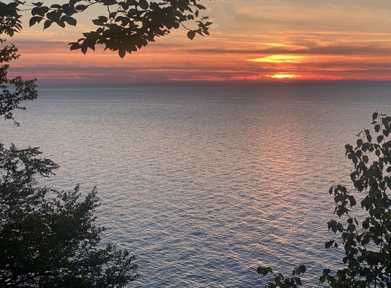
Photo taken Sep 14, 2021 at 6:43 PM

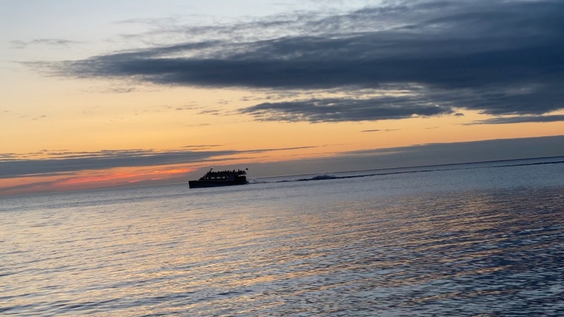
I am glad I took a nap during the afternoon but even more pleased I was awake to enjoy this sunset at Kelly Point.

--September 14, 2021 at 6:43 PM. Long Lake, NY, United States

The Northville-Lake Placid Trail (NPT) has been on Andy and my radar for several years. A few days before he arrived to drive us to New York he called to suggest we tackle the trail. More precisely he would attempt a thru-hike and I’d do a portion of the trail. It seemed like a good plan and we put it in motion. Both of us wanted to experiment with some new-ish camping ideas notably around how we would sleep and cook our food. As such we ended up carrying more gear than we otherwise might have done: redundancy and alternative means of doing things are good. In my case my pack, with 6 days of food, tipped the scale at about 31 pounds. Andy’s was similar though he would be carrying fewer, in theory, days of food. While the weight of the packs certainly affects your ability to comfortably move I do not think that really played any significant role in our hiking the trail or not as the case would turn out to be. Andy would eventually succeed in completing his thru-hike. My section hike would mutate and mutate again into something unrecognizable from what I had planned. The trail kicked my butt. The video will give you some idea of my experience of the few miles I did manage to hike.

The NPT is a trail that really is in need of a great deal of maintenance. It frequently vanishes in stretches of shoe-sucking mud, crosses streams over natural features (if you are lucky), and has a seemingly endless supply of downed trees you need to contend with that will frequently force you off the trail into the dense forest bushwhacking around the obstacle to re-join the trail on the other side.It’s a navigational challenge.

Play video Backpacking Sections of the Northville-Lake Placid Trail
▶️ Play Backpacking Sections of the Northville-Lake Placid Trail

While the actual act of hiking the trail was frustrating in the extreme I suppose I should take pleasure in the fact that I did what I did. I am also pleased with how most of my food and cooking worked out though I still have plenty of room for improvement in my fire-making craft.

There are some very helpful resources on the Internet. The Northville-Lake Placid chapter of the ADK Hiking Club has plenty of useful information. The mileage and description chart, a bit like an Appalachian Trail Databook, is quite helpful. A printed map can be useful if you are comfortable with them (and can see it well enough to read) and the National Geographic Trails Illustrated map fills that bill. Digital maps also exist and if you take care of your electronics can be incredibly handy when you go off trail (if you understand the tools you have and their limits a GPS and compass can be very helpful). Seval mapping apps can be used here. Avenza has the Adirondack Park Reference map which does show the trail but almost nothing else. The National Geographic Trail Illustrated map is available in digital form to paying users of GaiaGPS. The iOS app Topo Maps US by David Crawshay also has a good map. The Northville-Lake Placid Trail FaceBook group is also an active community of helpful people.

Finally, I can heartily recommend both the Oxbow Lake Motel in Piseco and Adirondack Hotel in Long Lake. While the staff may not always be around they are welcoming to hikers and certainly will accept food res-supply drops.

A Photographic Travelouge
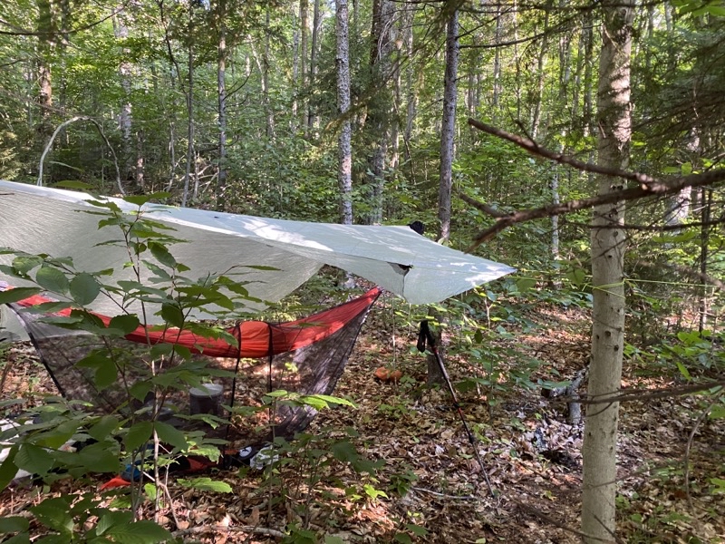
Photo taken Sep 11, 2021 at 8:24 AM

My camp perhaps 3 miles south of Stephens Pond just north of a creek. I managed to mislay my stakes and guylines stuff sack before properly pitching the tarp so had to improvise to get it pitched. I never found the stuff sack so perhaps someone will get lucky and find a nice surprise in the future.

--September 11, 2021 at 8:24 AM. Blue Mountain Lake, NY, United States
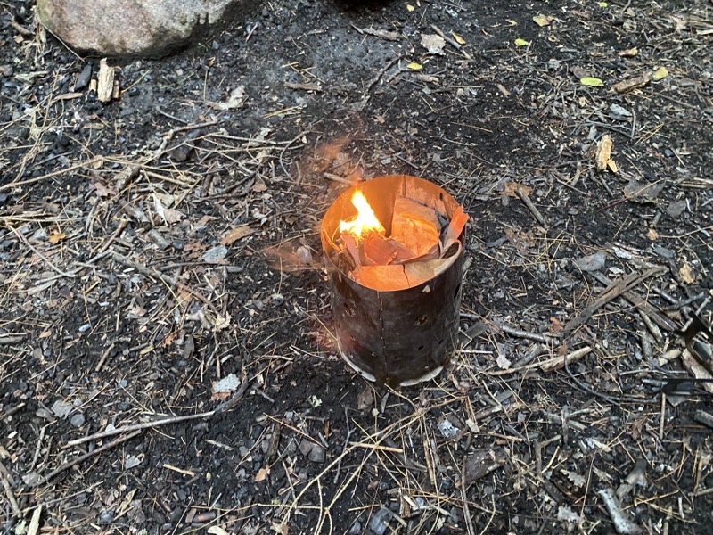
Photo taken Sep 11, 2021 at 6:51 PM

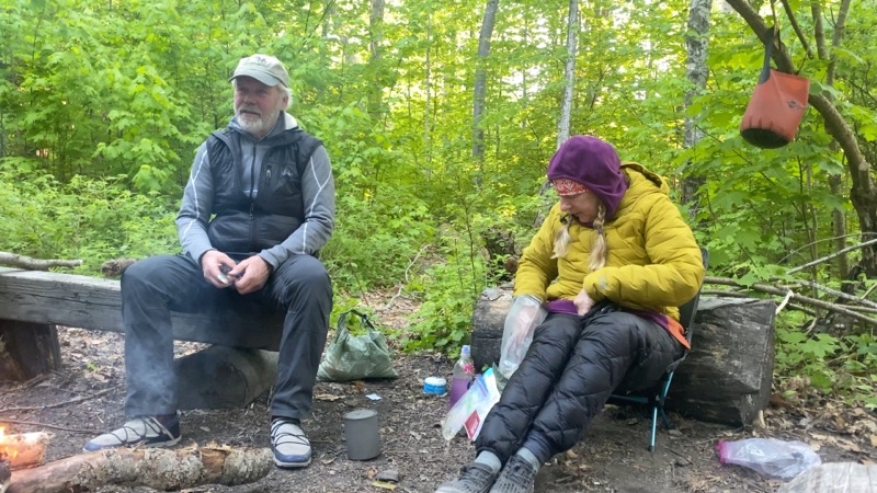
At Stephens Lean-to I decided to try making a Swedish fire torch to cook my dinner. I split a log into 4 pieces and stuffed the open center space with twigs and birch bark. Perhaps the central open space wasn’t open enough because while the kindling within it burned the log chunks never really caught properly. I was able to use it a little bit but ended up really heating my ingredients over coals on the edge of the campfire Scott, Don, and I had built (they were doing a section hike between Piseco and Lake Durrant).

--September 11, 2021 at 6:51 PM. Blue Mountain Lake, NY, United States
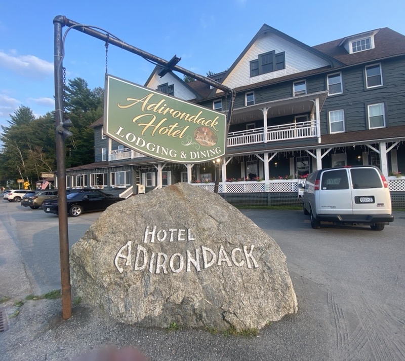
Photo taken Sep 12, 2021 at 6:06 PM

The Adirondack Hotel in Long Lake. This building has a lengthy history and certainly holds its Victorian styling quite well. The staff were certainly very helpful to hikers like myself.

--September 12, 2021 at 6:06 PM. 1245 Main St, Long Lake, NY, United States
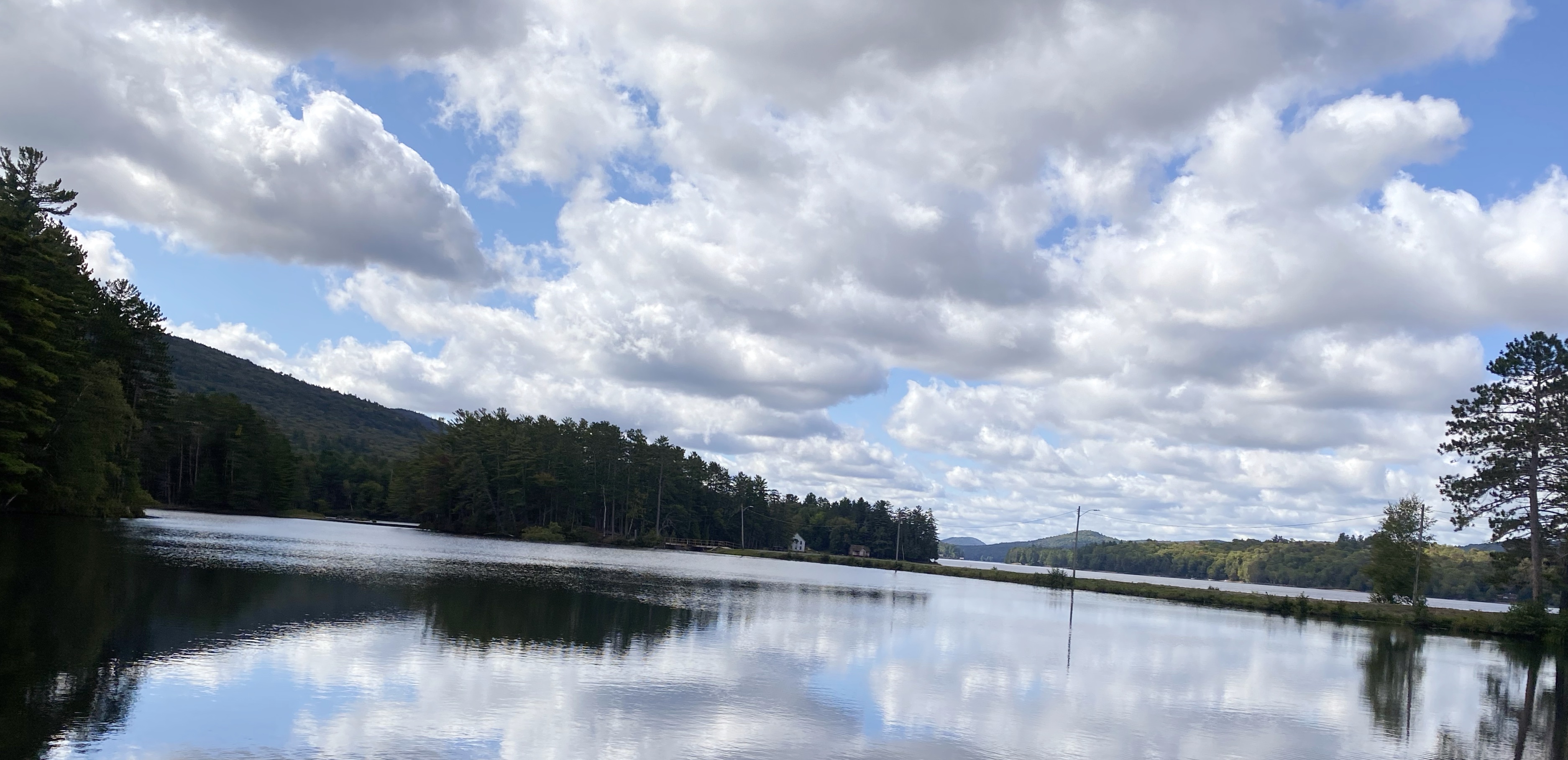
Photo taken Sep 13, 2021 at 11:11 AM

Looking west out upon Long Lake. It’s always nice when the water is this still creating lovely reflections.

--September 13, 2021 at 11:11 AM. 1245 Main St, Long Lake, NY, United States
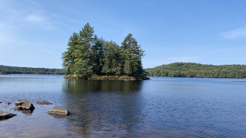
Photo taken Sep 14, 2021 at 11:49 AM

Hidden Cove is about 1.8 miles into the woods after you leave Tarbell Road. I spent a good 45 minutes here though admittedly some of that time was spent trying to find the right side trail that would take me back to the Northville-Lake Placid Trail.

--September 14, 2021 at 11:49 AM. Long Lake, NY, United States
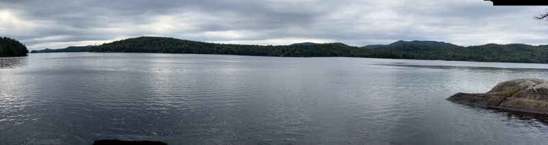
Photo taken Sep 14, 2021 at 3:02 PM

I think the view is a bit more interesting from Hidden Cove because their are islets but the open expanse of Long Lake seen from Kelly Point isn’t bad.

--September 14, 2021 at 3:02 PM. Long Lake, NY, United States
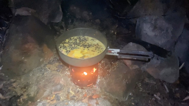
Photo taken Sep 14, 2021 at 8:07 PM

My twig fire in the Brennerle Hobo Wood Stove did a good job of cooking my backpacking omelette.

--September 14, 2021 at 8:07 PM. Long Lake, NY, United States
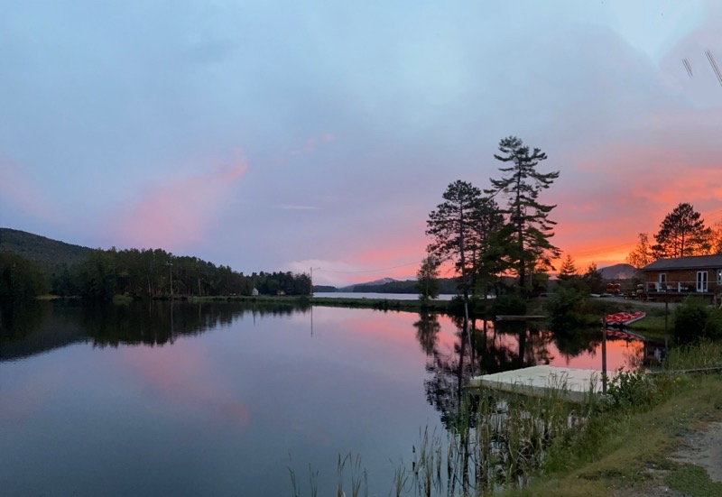
Photo taken Sep 15, 2021 at 7:15 PM

I almost missed this sunset. I caught a glimpse of colors as I sat down for dinner so scurried outside to capture this view while I waited for Andy to finish his NPT hike.

--September 15, 2021 at 7:15 PM. 1267–1273 Main St, Long Lake, NY, United States

Thursday, August 26, 2021

Summer Trail Maintenance on the NCT

Photo taken Aug 26, 2021 at 1:31 PM

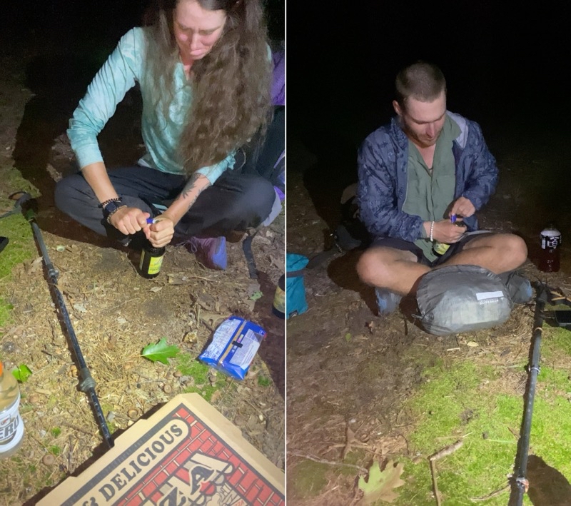
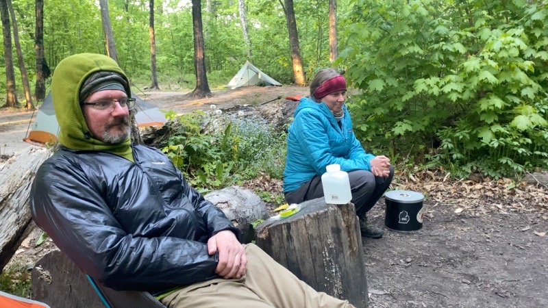
Magpie (left) and Constantine (right). Teamwork is a good thing. They’re showing me how to open a flavorful, though not really to my taste, beer using a lighter. Andy and I would spend an enjoyable evening chatting with the duo who are attempting a Fastest Known Time thru-hike of hte North Country Trail. Constantine will, after completing the NCT, have hiked all 11 National Scenic Trails. Andy went into Kalkaska, from the Sand Lakes Quiet Area, to fetch pizza, beer, and other snacks and drinks. Between the food and stories shared everyone had a great time.

--August 13, 2021 at 9:47 PM. Sand Lakes Quiet Area, Whitewater Township, Mi., United States.

Play video Summer Trail Maintenance on the NCT
▶️ Play Summer Trail Maintenance on the NCT

Trails require maintenance. Many, if not most, have the maintenance performed by volunteers. This is true for the North Country Trail (NCT). Andrew Mytys and I have been taking care of a 6.5-mile stretch of NCT for well over a decade. Most people take care of shorter sections of trail but since we have a long drive to get to the NCT we’ve alway felt it worth tackling a lengthier section. This year we managed to time our summer maintenance with a chance to meet Magpie and Constantine who are attempting a Fastest Known Time thru-hike of the NCT. Additionally, after they complete the NCT Constantine will have hiked all 11 National Scenic Trails.

Photo taken Aug 14, 2021 at 6:12 PM

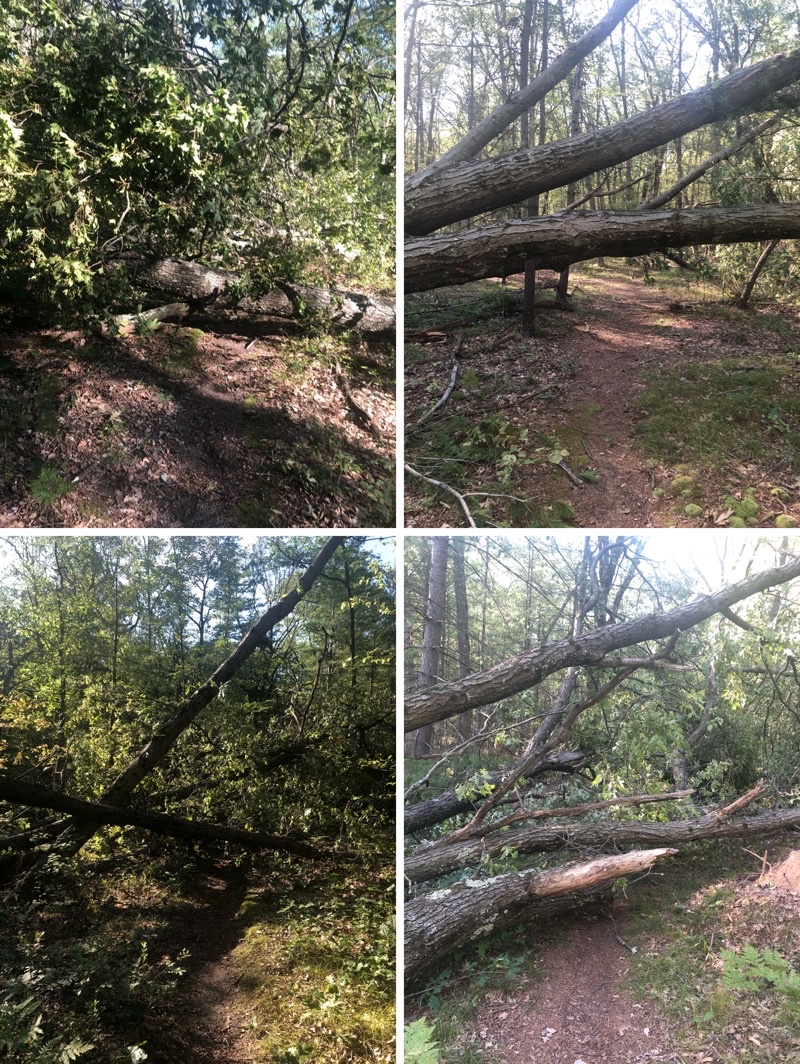
This is a substantial set of downed large trees. Way beyond our capabilities with unpowered tools to deal with. It’ll take her crew I sawyers with chainsaws to deal with this. Photos by Andy Mytys

--August 14, 2021 at 6:12 PM. N Country Trail, Bitely, MI, United States

Trail maintenance can be a lot of work and it does require you, sometimes, to learn some new skills. However, if you have ever wanted to give back to trails you love this sort of work is certainly a great way to go about it. For the NCT you can learn more at the North Country Trail Association’s website.

You can watch Magpie and Constantine’s progress on their YouTube channel HikingAmerica

Saturday, June 26, 2021

Compilation of Pictured Rocks National Lakeshore May Trip

Below you will find links to all the blog posts and associated videos (if any) for our backpacking trip along the North Country Trail through Pictured Rocks National Lakeshore (PIRO).

The Whole Trip

Play video Backpacking Pictured Rocks National Lakeshore
▶️ Play Backpacking Pictured Rocks National Lakeshore

May 26, 2021 - The Drive to Munising

May 27, 2021 - Sable Falls to Au Sable East

Play video Backpacking Pictured Rocks National Lakeshore - May 27, 2021
▶️ Play Backpacking Pictured Rocks National Lakeshore - May 27, 2021

May 28, 2021 - Au Sable East to Sevenmile Creek

Play video Backpacking Pictured Rocks National Lakeshore - May 28, 2021
▶️ Play Backpacking Pictured Rocks National Lakeshore - May 28, 2021

May 29, 2021 - Sevenmile Creek to Coves Group Site

Play video Backpacking Pictured Rocks National Lakeshore - May 29, 2021
▶️ Play Backpacking Pictured Rocks National Lakeshore - May 29, 2021

May 30, 2021 - Coves Group Site to Mosquito River

Play video Backpacking Pictured Rocks National Lakeshore - May 30, 2021
▶️ Play Backpacking Pictured Rocks National Lakeshore - May 30, 2021

May 31, 2021 - Mosquito River to Sand Point

Play video Backpacking Pictured Rocks National Lakeshore - May 31, 2021
▶️ Play Backpacking Pictured Rocks National Lakeshore - May 31, 2021

June 1, 2021 - The Return Home

Play video Pasties, Munising Falls, Wagner Falls
▶️ Play Pasties, Munising Falls, Wagner Falls

Day 7 - Pictured Rocks National Lakeshore, May 2021

The Return Home

Our final morning dawned sunny and a bit crisp though hardly cold. In the shade you would want a windbreaker or maybe light jacket but in sunshine everything felt just fine. We were not rushing to depart because the place we wanted to have breakfast did not open until 09:00. Tim had done some early morning town wandering but didn’t come back even with a coffee or donut. Oh well. I never did get the name of the bookstore/cafe we ate at. It is a used bookstore that has a nice little cafe. Breakfast sandwiches and breakfast burritos made for a rather nice way to start the day. We took our time eating and saying goodbye to each other. Tim and Nancy would continue on with travels to family deeper in the UP while Andy, El, and I would return home.

Photo taken Jun 1, 2021 at 10:43 AM

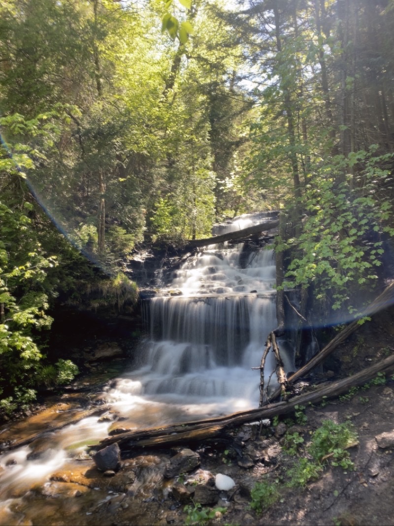
Wagner Falls. It is a short walk along boardwalk to the waterfall.

--June 1, 2021 at 10:43 AM. Munising, MI, United States

We made a couple stops along the way most notably at Wagner Falls which if I have visited before was far enough back in the past that I do not recall it. Lovely little, barely more than 5 minutes, easy walk to the waterfall. There are other paths in the park I believe. WOrth the visit. Then it was time to drive back downstate with a good memorable trip coming to its final conclusion.

Play video Pasties, Munising Falls, Wagner Falls
▶️ Play Pasties, Munising Falls, Wagner Falls

Friday, June 25, 2021

Day 6: Pictured Rocks National Lakeshore, May 2021


Day 6: Pictured Rocks National Lakeshore, May 2021

Mosquito River to Sand Point

Play video Backpacking Pictured Rocks National Lakeshore - May 31, 2021
▶️ Play Backpacking Pictured Rocks National Lakeshore - May 31, 2021

I know Tim and Nancy were up well before sunrise. They left around 06:30. No one heard Nancy trying to find her way back to camp after using the privy. The trails there seem to encourage one to go out one way and back another. I certainly wasn’t the only one to do that and I wasn’t the only one to head compley away from camp towards Mosquito Falls for a few dozen steps before realizing the error. But despite Nancy’s pre-dawn minor misplacement they were on their way in their usual fashion. The rest of us were packed up, fed, and ready to depart just after 08:00 which is what we had been shooting for.

The birds serenaded us out. Again all sorts of birds including ravens for a decidedly rougher abrupt sort of note. The birds seem to be nicely distributed throughout the forest here. I’m sure Rick managed to spy a few with his new 10x50 monocular. I enjoyed listening to them as we walked. It was a pleasant morning. The trail is pretty much flat between Mosquito River and Potato Patch. It veers by the bluffs that drop down to the lake now and then but for the most part is more inland. At times it felt quite like we were walking through a temperate jungle: the plants were growing so thick blocking views of the trail as we pushed through. Mostly ferns. It is an easy walk if not exactly an exciting one. The waterfall off the side trail of the NCT was barely flowing.

The hill from Potato Patch to the eastern end of Miners Beach is steep and sometimes slick with mud. It seems to take longer than it probably actually does to descend (or ascend). I am always happy to be done with it. Later we learned that Tim and Nancy watched a fleet of kayakers get underway from the beach on their journey for the day. I can see that being a worthwhile trip as long as you have a group to do it with that are reasonably competent and a calm Lake Superior (with no real chance of it changing) to paddle. We found a few dayhikers out and about at this end of the beach as we settled down not far from Little Miners Falls for a mid-morning snack break and to say goodbye to Rick and Gail.

Photo taken May 31, 2021 at 10:19 AM

Little Miners Falls. From either direction taking a break at this small waterfall is always worthwhile. If you are coming from the west you just finished walking along Miners Beach (assuming you chose the beach) and so need a rest. If you came from the east you just scampered down the steep though short hill from Potato Patch and a moment to relax will be enjoyable before you stride west on the beach or official trail.

--May 31, 2021 at 10:19 AM. Grand Marais, MI, United States

Photo taken May 31, 2021 at 10:22 AM

Miners beach stretchs about 0.75 miles and is always a popular spot. Kayakers launch from here and most day hikers have likley come down from Miners Visitor Center which is a bit of a walk in its own right if you aren’t expecting one. If the beach could be kept free of trash it would be perfect.

--May 31, 2021 at 10:22 AM. Grand Marais, MI, United States

Miners Beach stretches about 0.75 miles from east to west. Not very long unless you are choosing to walk through the deep, soft, energy absorbing sand or by the ever-lapping waves on firmer but slightly angle sand with the chance of a water invasion at most any time. Andy went high; I went low; El was moving between us. The beach should be lovley at all times but the charm is marred by humans who just have to leave trash including biological waste behind. Some people are truly rude and uncaring about others. Once you reach the western end and find the steps (slightly out of view as you stand by the outflow of the Red River) that take you up and inland you still have a bit more than a mile to go to reach the visitor center. The trail works its way through the forest along and across the Red River before steeply ascending to the bluff upon which Miners Castle Visitor Center sits. We found a few dayhikers out and about and somewhat confused about where Lake Superior should be. Go figure. Andy pulled ahead and El and I trailed behind. The morning had really warmed up into the 60s by this time so pausing to shed layers made sense.

I tend to forget how much trail there is after the steep climb before you reach the visitor center. It always seems like more than it should be. But just after noon I found Andy and El settled down at a picnic table for lunch. We weren’t exactly hurrying but we were not going to linger too long either. We were expecting stormy weather to arrive sometime after 15:00 though admittedly you could be excused for not knowing that if you just had your senses to go on during the morning. I left just before 13:00 to tackle the last 4.5 or so (could be 4.9) miles of trail. This section can be notoriously muddy and wet. The park service has installed quite a bit more boardwalk (puncheon) over the worst places but you never know with these shifting grounds and weather-ravaged trees what you might find. I found it was actually quite enjoyable easy going for the first couple of miles. Andy and El caught up to me and we continued on more or less together for a short time before Andy zoomed ahead. I totally missed the sign for Cliffs Group Site and Andy said he would have missed Cliffs individual site if he had not been checking his map. The etched tree that marks where the totally hidden due to tree blow-downs.

On we went. Andy again zooming ahead and El catching up to me. The temperature was starting to drop so we knew the weather was changing. But I still wanted to take a short break. I did so not long before the trail crosses a stream via some floating logs (spent time looking for a better way and was about ready to just cross and get wet feet when El haled me and showed me the best way across). On we went. We hoped we would beat the storm. We hoped the backpacking couple we had met would find a place to shelter from the impending high winds though that seemed unlikley as Cliffs is certainly in the forest. We encouraged the older fellow with a feather in his hat to turn around at the cliffside waterfall (no pictures this year) that a few years ago Gail, El, and Andy took shelter under its overhanging rock as ANdy and Joni tried to get to us before a different storm hit (didn’t make it). Down the steps , so many steps, El and I went down to the forest floor now pretty much on a level with Lake Superior though we couldn’t see the lake at this point. It was certainly cooler and windier. That storm was closing in upon us and we had about a mile to go. Hustle. Hustle. No real time to snap a picture or capture of video as a bouy bell tolled. Soon we reached the trail junction that would take us to Sand Point. Hurry along and watch out for ankle twisting roots. Don’t want to trip now. Did, but not badly just loudly. At 15:50 it started to spit and 5 minutes later El and I reached the parking lot and the rest of the crew. The wind and rain started to pelt the area just after we all piled into Tim and Nancy’s car to drive into Munising and settle down in the Air B&B.

Well all of us except Andy and Tim who had to drive Tim’s car back to our starting point to fetch Andy’s car. That shuttle took about 2 hours but when they came back carrying the pizzas that had been ordered our trip could officially be said to have reached its proper end.

Thursday, June 24, 2021

Day 5: Pictured Rocks National Lakeshore, May 2021

Coves Group to Mosquito River

Play video Backpacking Pictured Rocks National Lakeshore - May 30, 2021
▶️ Play Backpacking Pictured Rocks National Lakeshore - May 30, 2021

Our pattern of alternating short and longer days continues. Nancy and Tim were up and headed out of camp well over an hour before the rest of us. That is there way. Slower hiking with times for lots of short breaks to observe their surroundings and talk with everyone they pass at least for a moment. The rest of us hauled our backpacks onto our around 09:20. The sky was clear blue and the temperature was steadily warming and promising a wonderful day.

This section of trail provides perhaps the greatest number of views of the picturesque rocks that lend themselves to the name of this park and the glorious color-changing Lake Superior. Sometimes, as was the case on the first day, the lake appear sullen and gray with even the admittedly small waves with whitecaps appearing angry as they crash against the shore. Over times you walk along the beach or stare from above and can see how clear the water is as the color shades from the tan sandy visible bottom near the hsore into shades of turquoise, green, and blue as you raise your gaze out to sea. Today vibrant blue-green to deep blue from high above plus lighter shades when at the shoreline itself would be our visual treat. Add in the auditory treat of many species of birds from black capped Chickedees, Ravens, woodpeckers, robins, and much more and you find yourself walking through a lovely world. Just watch your step. The trail has been re-routed from old eroded to almost nothing and beyond sections in many places. But there are places where a slight step to the side would result in your foot dangling over emtpy space and a fall would certainly result in injury if not death. To be sure those segments are almost always just a handful of strides long but they are still present.

Photo taken May 30, 2021 at 10:16 AM

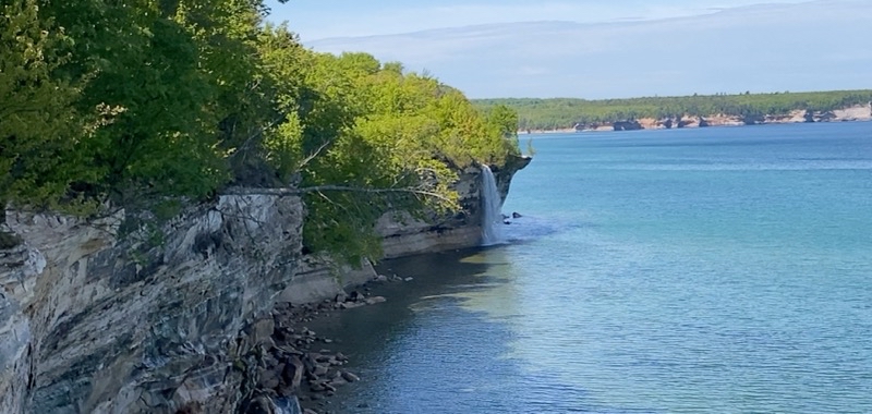
Spray Fall. The sandy bluff we stand atop to view Spray Fall is, I think, shrinking. It’s a reminder that these cliffs are sand and sandstone and sometimes more the former than is probably truly safe. But it is always aa pretty sight.

--May 30, 2021 at 10:16 AM. Grand Marais, MI, United States

Photo taken May 30, 2021 at 10:52 AM

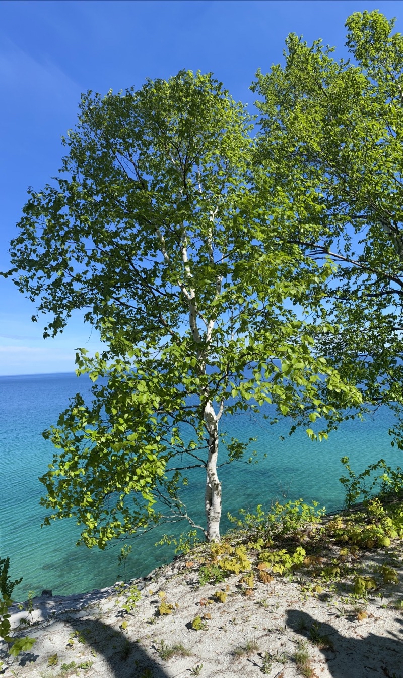
Birch trees always stand out.

--May 30, 2021 at 10:52 AM. Grand Marais, MI, United States

Photo taken May 30, 2021 at 2:13 PM

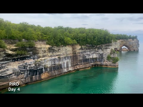
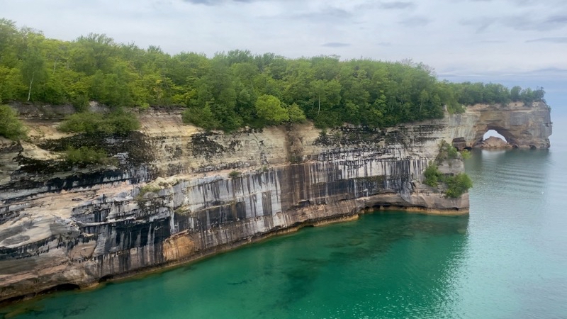
Grand Portal. While the portal is something to see I think what really catches the eye are the cliffs and the water especially when it shows off as richly emerald green as it does in this photo. Of course, there is also no denying the power being shown off as you gaze at the cliffs and the Grand Portal: wind, waves, weather combining to scuplt the land.

--May 30, 2021 at 2:13 PM. Grand Marais, MI, United States

I must have been engrossed in some thought or other because I walked by the turn-off to the sandy cliff that provides you with a look at Spray Falls. El called me back. That would have been a shame to miss. To be sure the area you can stand is getting smaller and smaller as the years go by but the falls are still worth peering out across an emerald green cove. I am always a bit surprised that there is so much water because the stream you soon cross a stout wooden bridge seems small. We were fortunate that while we stood and watched the water spray down to be alone with just ourselves. That would change as we neared Chapel Beach but we knew it would.

Chapel Beach can be lovely and awful. It is a pretty place and has active, sometimes amusing, wildlife. It can be awful crowded with too loud people too. Some people may boat in and feel compelled to do obnoxious things like play volleyball and leave trash on the beach. Hikers can be just as loud and also leave trash behind. Today we just had to deal with people who felt it was perfectly fine and safe to jump safety fences and climb where they should not. Between the two visits Gail and Rick had here over two days Gail encountered people with 4 dogs. Not good. But I was able to ignore the people and the amusing wildlife didn’t steal any food or make a nuisance of itself so that did not veer into the realm of awfulness either. A lazy hour and some time was spent just relaxing at a campsite though I wish I had spent some of that time (more than I did) at the beach if for no other reason than I could have used a bit more water.

From Chapel to Mosquito River you have many chances to zip off the trail to what Andy calls sky beaches. Sandy overlooks that are sometiems quite large. Too bad some were swarming with loud people who so often seemed to want to get as close to the edge as possible. Well if they fall off I guess they fall off. Stupid, but human. Eventually Andy zoomed ahead. Gail, Rick, El, and I were much slower. We all figured Tim and Nancy would reach camp well before us. We enjoyed a break now and then at an overlook but still arrived a bit before 17:00. Surprisingly Tim and Nancy were not there. We missed them overlook hopping. They had settled at one, likely the one swarming with people (the big one), that we did not go visit. Add in the fact that they, maybe really it is mostly Tim, can’t resist at least asking everyone they meet where they are going and where they are from and you can see how time zips by for them. Never in a hurry I guess but they get where they need to be.

The clear skies had been banished by clouds and I did not expect to get much of a sunset. The momentary arrival of a few raindrops caused Andy and I to pitch my Hammock Gear Hex (DCF) Tarp. I have the 11’ long version and that provided big enough for us to both cook under comfortably and later for everyone to pretty much sit under during a very slight and short drizzle. While the cloud cover didn’t really lift we had hints of sun as the time for sunset approached and so most of us went down to the beach. For those with good vision that proved a great decision as they got to watch a bald eagle circle and soar and perch in the pine trees across the Mosquito River mouth from us. Maybe the bird was hoping to do some fishing. But eventually the light and color, what there was of it, faded away and we trooped back to camp. Fires are not allowed at Mosquito River Campground so everyone went to sleep early.

Photo taken May 30, 2021 at 9:33 PM

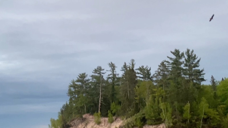
This bald eeagle was flying over the mouth of Mosquito River at sunset for some time. Was the eagle hoping to catch a rising fish?

--May 30, 2021 at 9:33 PM. Grand Marais, MI, United States

Photo taken May 30, 2021 at 9:35 PM

This boat is taking people on the sunset cruise. They are heading back to their dock in Munising.

--May 30, 2021 at 9:35 PM. Grand Marais, MI, United States

Day 4: Pictured Rocks National Lakeshore, May 2021

Sevenmile Beach to Coves Group Site

Play video Backpacking Pictured Rocks National Lakeshore - May 29, 2021
▶️ Play Backpacking Pictured Rocks National Lakeshore - May 29, 2021

It was supposed to be warmer during our second night than our first. The thermometer sitting inside my single-wall original ZPacks Solplex read 37°F for a low; Andy’s read, I think, 33°F from within his tent vestibule. My legs got chilly and I had to toss my Enlightened Equipment Torrid Apex vest over them. Definite proof it was chilly. I am not sure if my improvised space-blanket outer tent wall (a partial one anyway) made a difference but I am inclined to think it helped a tiny bit. I suspect Tim and Nancy had the warmest sleeping quarters of us all snug inside their Stephenson 3-person tent with its heat reflecting walls. Too bad we didn’t have a campfire to stand around as we did morning chores but then morning chores can’t be done by the fire for the most part anyway.

Tim and Nancy were on the trail well over an hour before the rest of us. There was no rush. We only had to trek 8.8 miles to Coves Group site and we knew we’d spend a fair bit of time at places like Beaver Creek so as not to get to Coves Group too early. Andy, El, and I had our packs on around 09:15.

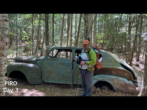
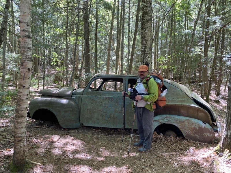
You could just walk along the beach west of Sevenmile Creek to the mouth of Beaver Creek. I’ve done that before. But instead, like yesterday, I took the official trail. Winding through the forest along a generally pretty flat trail enjoying the trees and birds as I went. In time I caught up with Andy and El at the anceint hulk of a 40s-era Plymouth sadan that has been mouldering away here for decades though we’ve no way of knowing exactly how many. Any graffiti that had been written on the paint vanished as the paint fell away. Now you see writitng scratched into the bare metal with dates going back to the early 80s. It’s a shame that people mar objects like this. I suppose after enough time passes those marks will be considered art instead of defacement but that time is certainly not now or any time in the coming years. Like the large rusted wheel hub El found you wonder why the car is here. In the case of the solitary wheel hub why just the one wheel. We will never know. Make up a story it’s probably as good as any other.

Photo taken May 29, 2021 at 11:48 AM

Andy thinks this is a 1940s-era Plymouth. It is a shame people feel compelled to graffiti the car. To be sure I’d rather the car not be here at all even though it does make you wonder why it is here. But having people scrawl junk over it for no better reason than that they can is sad. Photo by Andy

--May 29, 2021 at 11:48 AM. Grand Marais, MI, United States

Leaving the car behind we continued on down the trail and took the route that leads to the bluffs high above Lake Superior and eventually Pine Bluff campsite. I can’t tell you how long it has been since I took this path but it is easily more than 10 years. We were not going to Trappers Lake and though the high bluffs can be an energy sapping stretch of deep sand we didn’t have far to go and we would be treated to views of Superior as we skirted the edge of the bluffs heading towards Beaver Creek.

In Pine Bluff Campsites El found a staggering amount of trash left behind. We had already retrieved a long cooking fork suitable for marsh-mellows or hots dogs cooked over a fire at Masse Campground (tossed in a trash bin at Log Slide). A mylar balloon or two had been fetched down from hanging branches. But at Pine Bluff El found 3 mason jars and a daypack. The jars were in a fire-ring. The daypack jsut left. What are people thinking when they leave this stuff behind for others to find. At least the ketchup bottle El found by Beaver Creek looked like it had been around for quite some time (though maybe not). People are such slobs and seem to not think at times about the fact that other people might want to enjoy the place as much as an earlier group did. The trash-leavers are in the same category as people who bring their dogs into wilderness areas even though that is absolutely not allowed. And both groups are related to the people who figure it’s fine to climb across aerial roots of the tree on Chapel Rock because they can even though a safety fence is there to prevent that sort of thing. Those are a different class of person from the ones who figure they need to do careful yoga poses right at the edge of a 100-foot and more sheer drop to Lake Superior to prove something or other but certainly not how smart they are.

At least those annoying people who don’t seem to care that others exist are counterbalanced by people like the family, or families I was never sure, at Beaver Creek who had thir youngers (about 5) with them and were clearly enjoying the area and being respectful of the other people around. Hurray for them. Our leisurely hour and more sitting on the warm sandy bluff overlooking the mouth of Beaver Creek and Lake Superior was quite fine indeed. Should have taken a nap.

Coves Group site is almost 1.5 miles beyond Coves individual sites. There was a time when you could scamper down into the coves, well the westernmost, and stand right at the edge of the lake. Now there is a 6-foot drop and you still aren’t quite there and would have no easy way (if any) to get back up as the climb would be up sheer-faced sand. This is the problem with Coves in general: getting to the water. The trail climbs up and down across headlands that abutt the lake and at times does so rather steeply. The new section that quickly climbs up and over and down a rock face (having been eroded away to that point) is just one case in point. There is no real room for groups to pass here. One final climb up steps that are often at times uncomfortably tall (no made for short legs) and you are nearing Coves Group site. But you’ll be going down those steps again to find a cleft that gives you access to Superior to fetch water. Oh joy. Fortunately I was spared that task.

Photo taken May 29, 2021 at 8:07 PM

Rick and Gail have joined us now. They hiked in from the western end of Miners Beach (about 10 miles) to join us here at Coves Group Site. Sitting by this fire, again built by Tim and Nancy, we are all enjoying a much warmer evening than the first two nights.

--May 29, 2021 at 8:07 PM. Grand Marais, MI, United States

Photo taken May 29, 2021 at 8:45 PM

Andy and Elwira.

--May 29, 2021 at 8:45 PM. Grand Marais, MI, United States

Gail and Rick joined our group at Coves Group having come in from the western access point along Miners Beach. Once again Nancy and Tim scrounged up material (especially birch bark) to get a campfire going. It’s definitely such a treat to sit around a crackling fire chatting with friends and enjoying (hopefully) a good meal. While Andy awed everyone with the things he was crafting for himself and El I think I did pretty well myself. More work than a mere Mountain House or similar meal requires but I want to believe better for me and tastier too.

Photo taken May 29, 2021 at 9:27 PM

Take care when you come to this spot to view a sunset by Coves Group Campsite. This was once the North Country Trail but erosion has brought the at least 80 foot tall cliff not much more than a foot (30cm) from the trail thus forcing the re-route. Youll have to push through brush to get to this spot for a reasonably open view of the sun diving into Lake Superior.

--May 29, 2021 at 9:27 PM. Grand Marais, MI, United States

If you push through the trees to where the NCT used to be you can get a decent view of the sun as it sinks below the horizon. It’s not a sweeping view as you get at say Sevenmile let alone Mosquito River but it has its charm as the view you do have is easily 80 feet above Lake Superior. We watched the sun go down and birds of early evening sang to each other and us as we did so. It was a fine way to end the day before at the end, under a properly dark sky, Andy poured the un-needed water from my bucket over the bed of hot coals to douse their heat and everyone left sauntered off to bed.