We last visited Storm King in 2010 but we did not spend that much time there. We looked at a couple sculptures and took the tram but certainly didn’t explore the grounds to the degree we do on this trip. We spent a few hours exploring this time and I’ve no doubt we could have spent much more time and that many people do.
Thursday, October 28, 2021
Wednesday, October 20, 2021
Acra Point Loop Hike
Acra Point is, according to the guidebook we have, a spot with a great view. The guidebook also calls the loop hike, I believe, easy. The hike is a bit north and east of the North Point hike we did the previous day but still about 45 minutes from our Air B&B in Athens, NY. If we visit the area again I expect we will stay in a place like Tannersville either in a lovely mountain hotel or an Air B&B type place. The weather was promising to be mixed clouds and sunshine. With luck we would have good views when they presented themselves.
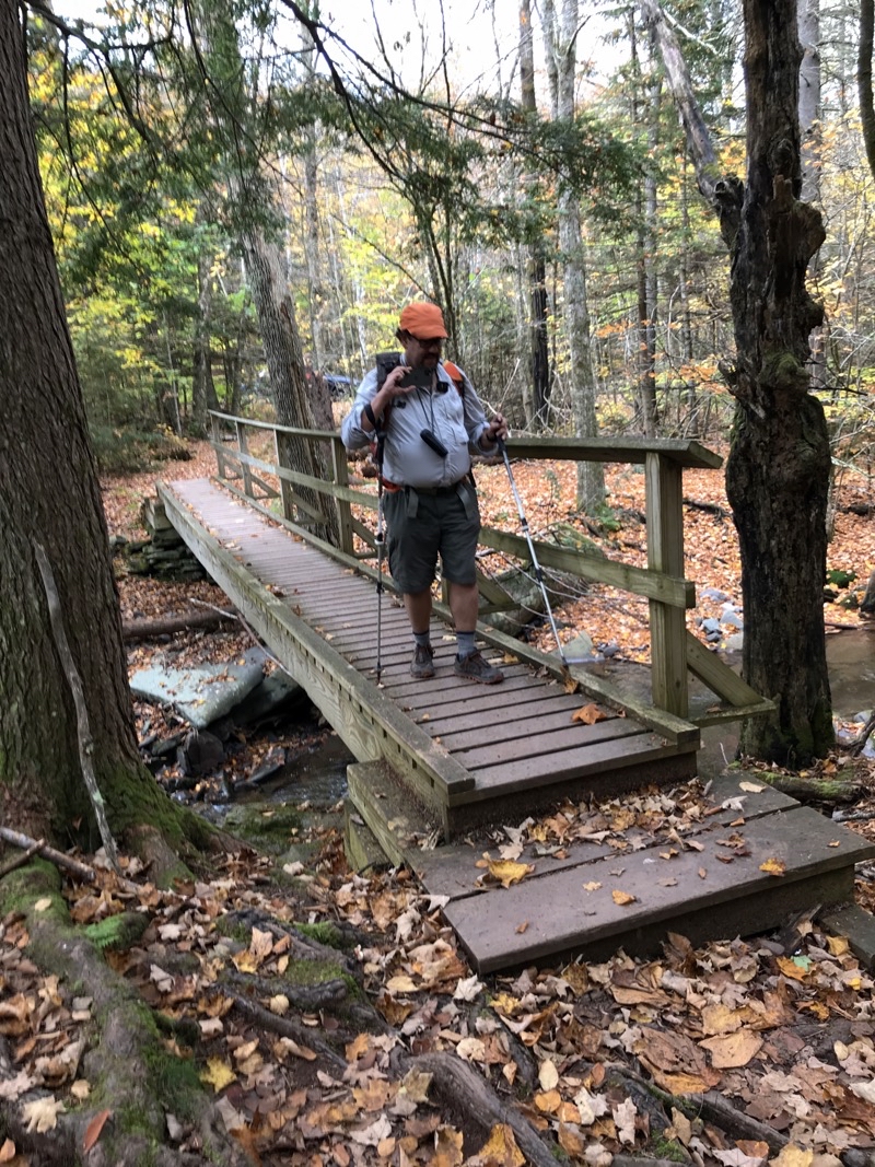
The trail starts out crossing gushing stream over first a fine wooden bridge and then via a series of cunningly place stones to form a bridge over another tributary of the stream. We felt a bit of trepidation as we worked our way acorss the stones thinking this trail is going to be as tough as the trail forming the North Point Loop. After crossing the stream the trail slowly ascends through a hardwood forest and there is some mud to deal with but nothing like the Rock Shelter Trail.
This is just the first corssing of what seems to be an un-named stream. Right after the bridge we walked across a series of stones that span another braid of the stream or maybe it was just another curve in the main watercourse. Photo by Judy.
--October 15, 2021 at 10:03 AM. Maplecrest, New York, United States.
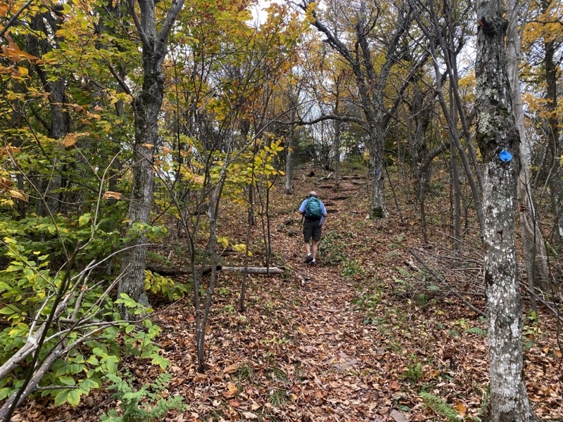
Over the first 1.2 miles the trail slowly ascended through lovely forest. The footing is much better although seeing and feeling the trail is a bit hindered by the leaves covering the trail. Now and then the forest would seemingly open up and more sun would peek through. Birds, notably blue jays and chickedeees (I think) could be heard in the trees. It was a fine morning.
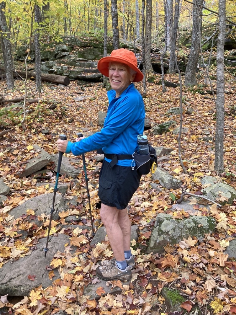
Good morning from the Black Dome Range Trail. This is the first trail, going clockwise, that makes up the Acra Point Loop. After leaving a nice wooden bridge and cunningly crafted bridge of stones spanning a rush stream we quickly entered a lovely forest.
--October 15, 2021 at 10:54 AM. Maplecrest, New York, United States.
It’s hard to see how steep the hill is. I think we climbed just over 100 feet in about 0.1 miles. That makes this a pretty steep trail. It had one switchback.
--October 15, 2021 at 11:27 AM. Maplecrest, New York, United States.
At the first trail junction we turned to the right and soon were ascending a surprisingly steep hill. The hill had one switchback near the start. The rest of the trail just climbed up the slope interrupted twice by a few large rocks we had to clambor up and over. I think we gained a bit over 100 feet on this hill and walked not much more than 0.1 miles in the process: a steep hill indeed.
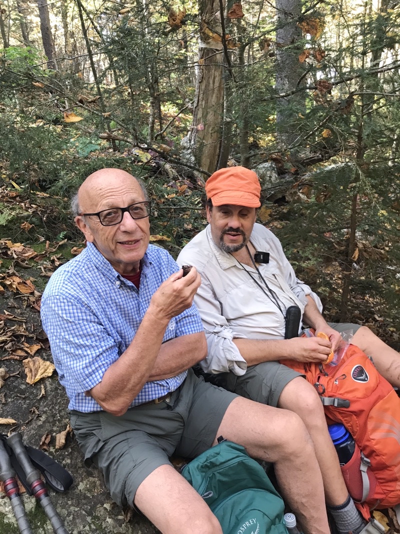
Not long after completing the hill we soon came to a spur trail that took us to a clifftop with a lovely view and a fine place for elevenes. The sun wasn’t shining at this point but the wind was all but nonexistent making this a good place for a break after hiking about 1.5 miles and ascending 800 feet. Maplecrest, New York, United States
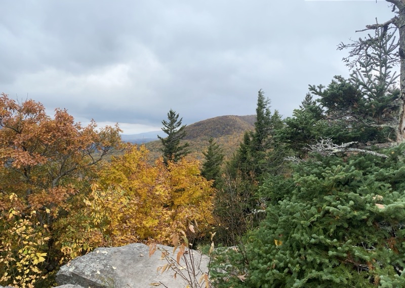
This is the view from the clifftop just west of Acra Point. If you, like us, miss the spur to Acra Point you won’t feel too bad if you settled down here for a time like we did.
--October 15, 2021 at 11:40 AM. Maplecrest, New York, United States
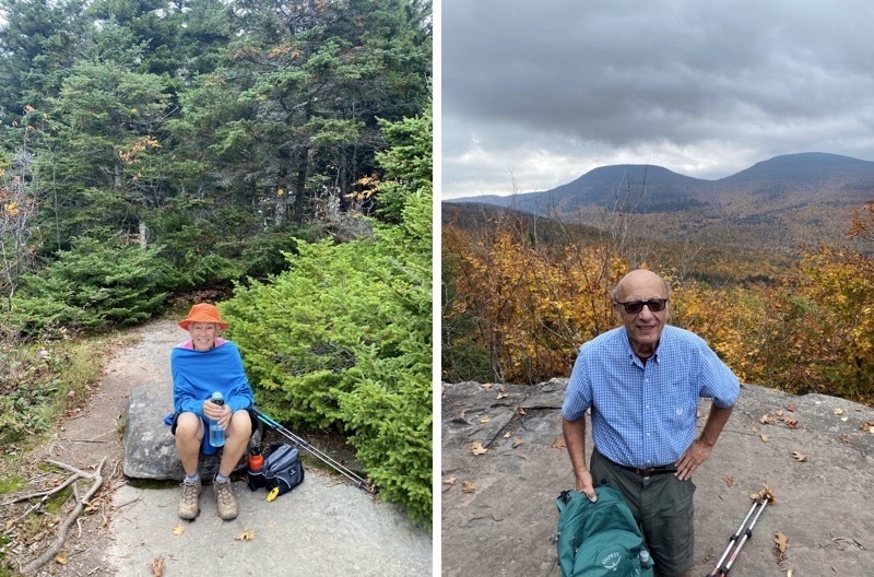
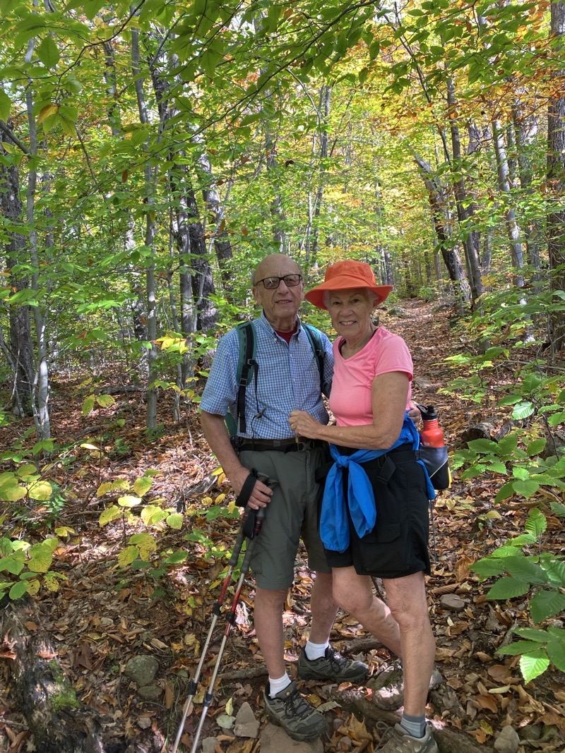
Views from the cliftop to the west of Acra Point. Left: Mom as we look back towards the spur trail; right: Dad with the great view.
--October 15, 2021 at 11:41 AM. Maplecrest, new York, United States.
After leaving the viewpoint we moved along the ridgetop, gradually ascending, towards Acra Point. We had met a couple with a dog just before the hill climb. Perhaps they were at the spur trail to Acra Point which is why we missed it when we saw them again. They said the view wasn’t that good which contradicts what our guidebook says but perhaps it was blocked by leaves that had not fallen yet. Throughout the day we encountered a few people and a couple additional dogs. But we missed Acra Point.
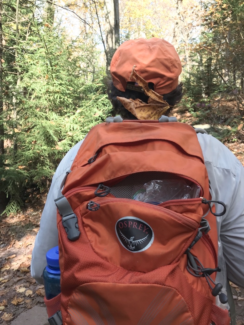
It is truly Fall. Look what landed on Ken. Photo by Judy.
--October 15, 2021 at 1:49 PM. Maplecrest, New York, United States.
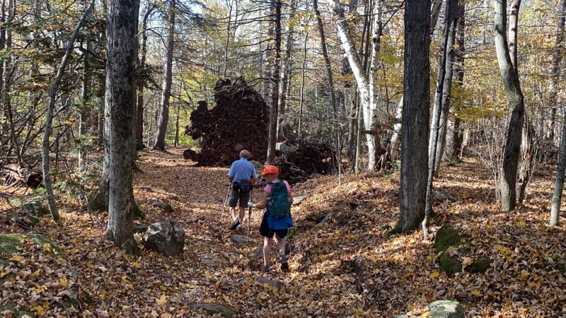
We are about 1.5 miles from the end of the hike. At this point the Escarpment Trail has been steadily gently descending. The footing would be great if the trail were not so covered in leaves obscuring things underfoot. But, it’s a foretaste of how deeply covered the Batavia Kill Trail is covered. Photo by Judy.
--October 15, 2021 at 1:54 PM. Maplecrest, New York, United States.
The Escarpment Trail at this point is really quite pleassant. The leaf coverage made it a bit tricky at times to follow and see what was underfoot but nothing like the day before. We were not going to set any speed records but we were doing far better and mostly enjoying the trail except when we were not.
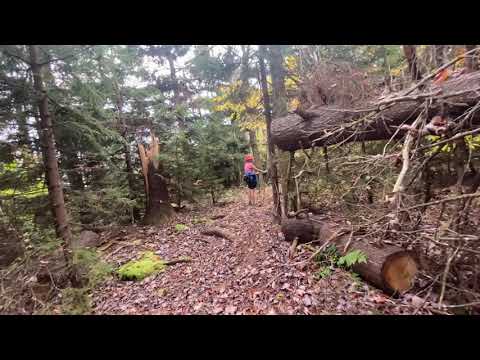
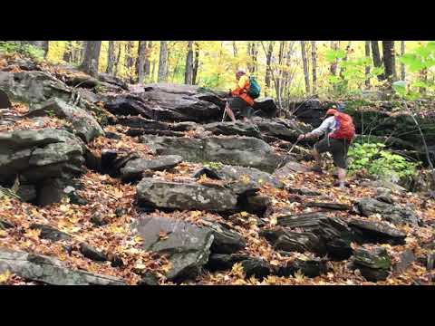
When the trail changed to the Batavia Kill Trail things got a bit more difficult as the leaf coverage got considerably deeper. The leaves hid roots and rocks and occassonal flowing (it seemed) water. We slowed down. It is pretty in its way but if I had been hiking alone I would have been moving exceedingly slowly as I cannot really hike blaze-to-blze (discs actually) and that was certainly necessary to aid navigation today.
This is a truly large root ball. Certainly more than twice as tall as a person.
--October 15, 2021 at 3:21 PM. Maplecrest, New York, United States.
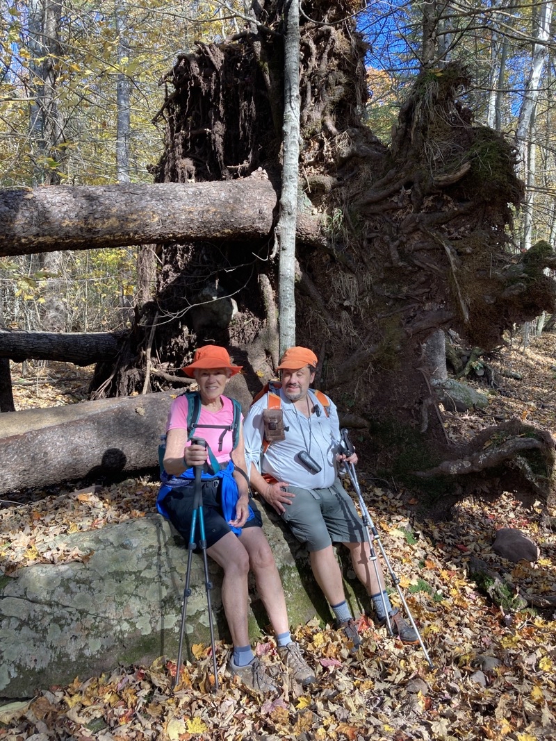
Mom and Ken relaxing by the tree that is connected to the large root ball. Photo by Jonathan.
--October 15, 2021 at 3:23 PM. Maplecrest, New York, United States.
All in all we enjoyed the loop even though the footing and navigation were sometimes frustrating. We would like to see these trails without their beds of leaves to find out if we move more quickly. The leaves, on and off the trees, do add lovely color but they certainly make the going tougher too.
Monday, October 18, 2021
North Point Loop (sort of)
We are walking slowly along the Mary’s Glen Trail after slogging about 1.3 miles on the Rock Shelter Trail. The footing is tough because of the roots, rocks, mud, and leaf coverage. Here we are making a steady climb, the bulk of the 500 feet ascent, towards North Point. As usual Mom takes a fine photo.
--October 14, 2021 at 12:16 PM. Catskill, New York, United States.
From our Air B&B house in Athens, New York we drove about 50 minutes to the trailhead located just outside of the North South Campground on Schutt Road (seen it spelled Scutt Road as well). The weather was going to be warm but cloudy so our chances for brilliant views were not that great. We really had no idea what to expect from the hike. The guidebook classified it as moderate and said it would take about 3.5 hours to hike the 5.5 miles of the whole loop. A good hike for our first day. Things would turn out differently for us.
The Rock Shelter Trail starts out with some lovely boardwalk crossing flowing water and no doubt plenty of mud. Once you leave the boardwalk you quickly find yourself walking amongst numerous rocks and roots paying attention to where you step avoding the sucking mud. If you are sure-footed and possess normal vision you probalby won’t have trouble maintaining a 1.5MPH pace to achieve the suggested hiking time. We did not come close to managing that lofty speed. Toss in the fact that the leaf coverage obscures the trail and tings get tougher still. Were I hiking this loop alon I have no doubt my speed would have been considerably below 1.0MPH. AFter all, I don’t think we managed 1.0MPH over the just under 4 miles of trail we did hike (our last mile, coveraging miles 4 to 5, was on a paved road).
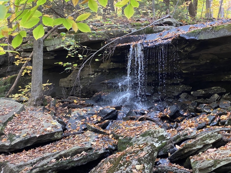
This waterfall is, I think, flowing into Ashley Creek. We are turning off the Escarpment Trail onto the Mary’s Glen Trail to head down towards the paved road that serves the North South Campground.
--October 14, 2021 at 2:54 PM.Catskill, New York, United States.
There are quite a few trails that you can access from outside the campground and more still that you can reach from within the campground (though you must pay a day-use fee). I suspect the footing on most of them is comparable but I also suspect we did not see the best views or most notable sights. What we did encounter was pretty varied and certainly mae an impression but if you are looking to make good speedy time perhaps this isn’t the best set of trails to achieve that goal unless your balance is good and your strong in mind and body.
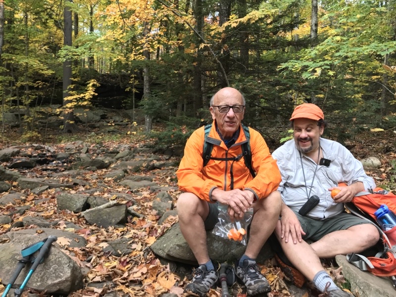
Dad and I taking a break just beyond the waterfall I shot in the previous picture. Photo by Judy.
--October 14, 2021 at 3:03 PM. Catskill, New York, United States.
Subscribe to:
Posts (Atom)