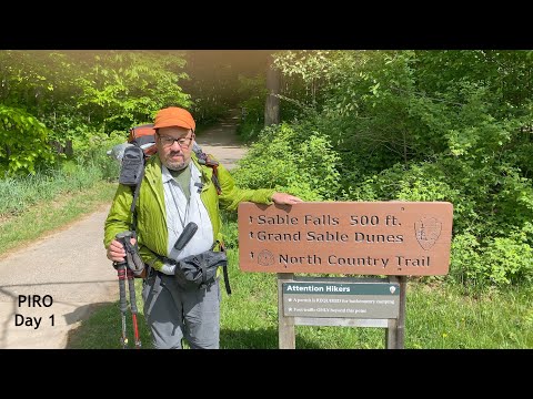
Sable Falls to Au Sable East
▶️ Play Backpacking Pictured Rocks National Lakeshore - May 27, 2021
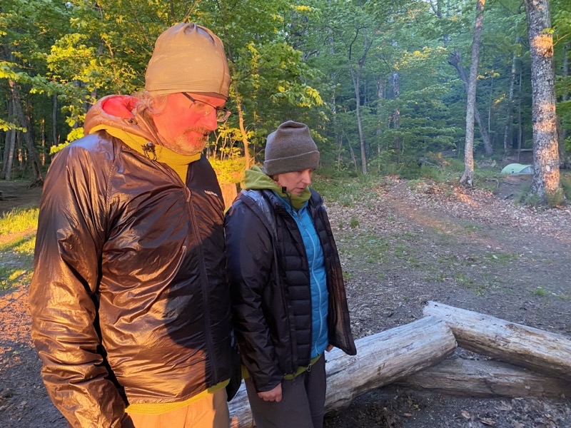
Two bedrooms and one couch that serves as a bed. One bathroom for the five of us. It worked well enough. Breakfast of many eggs, onions, mushrooms, and strips of bacon to charge our batteries and we were ready to depart for the backpacking portion of the trip.
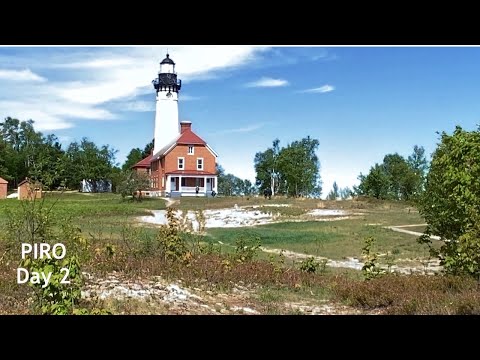
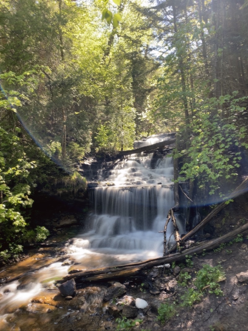
A quiet morning at Munising Falls. We did see a handful of people while strolling our few minutes around the waterfall area. It is always nice to visit this waterfall (any any waterfall).
--May 27, 2021 at 9:06 AM. Munising, MI, United States
For Tim and Nancy this is a new region of Michigan to visit. For Andy, Elwira, and myself it is not but that hardly matters. It is always worth stopping at places like Munising waterfalls. It’s a place easily reached and anyone can visit. We saw a few people but it was pretty quiet which I expect we all appreciated.
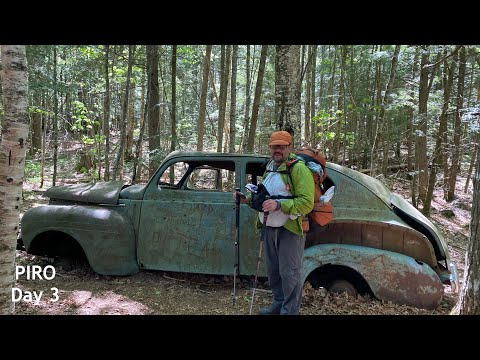
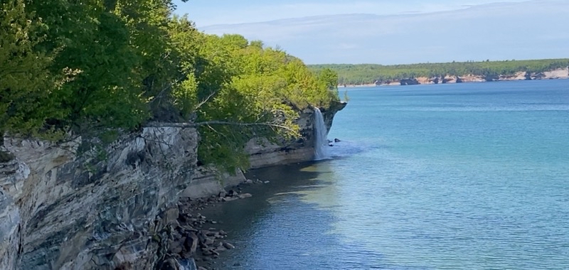
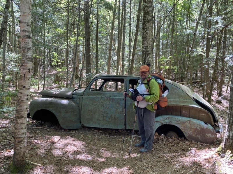
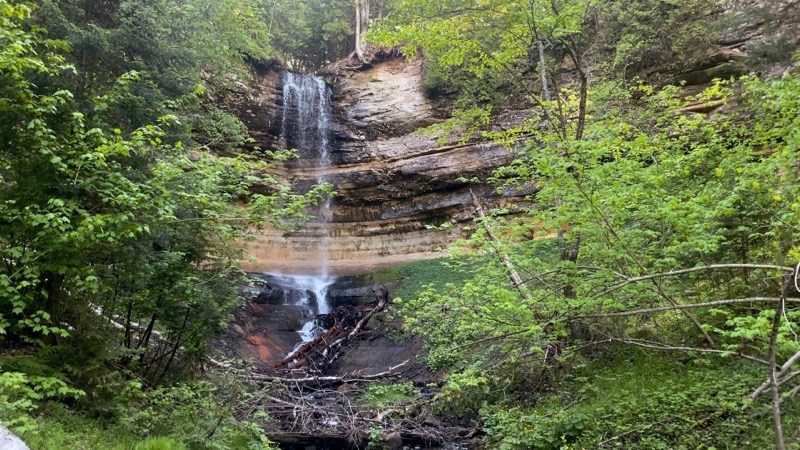
Then it was on to Sand Point to drop off Tim and Nancy’s car and pile into Andy and El’s car to drive to Sable Falls parking area. We were setting out around 10:45. Sunshine poured down upon us though it was probably only 40°F. After a requisite visit to Sable Falls and the well over 100 steps down to the best lookout point we began the bulk of the hike on the North Country Trail (NCT). At the junction of the NCT and Grand Sable Dunes Trail (my name for it anyway) I took Tim and Nancy to the eastern Grand Sable Dunes lookout. This takes less than 10 minutes and after you cross a stream on a bridge with an unusual squeeze point in the middle you quickly leave the forest for the sand dunes. Prepare to expend energy climbing up a modest distance along the back of the dune to the top. These days things have move enough that you can’t get as close to the edge of the sandy bluff that plummets down to Lake Superior but it is still an impressive view if you have never been before.
In 2019 a bridge that spanned a deep gully have broken. If you were agile enough you could cross the sloping and slanting bridge and scramble up the far side. Joni and I weren’t up to that challenge so bushwhacked the modest distance off to trail left to the Grand Sable Visitor Center. Now they have a setp of steep, very steep, rungs that act a bit like steps or ladder that drops down intot he gully and then up the over side. Take care.
As we continued the remaining distance to the visitor center we were struck by how lush it was. Ferns abounded and it seemed as though the forest was richer than normal. Spring had settled in earlier this year. Even though it has been dry lately that doesn’t seem to have stopped the forest from growing.
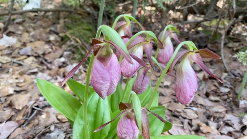
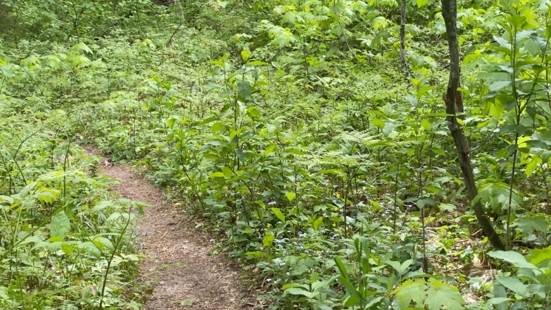
This impression was strengthened as we left the meadows around the visitor center. We were realizing that the trilliums were definitely on the downside of their blooming season but other flowers were popping up. For me little white ones, blue ones, yellow ones. For others: star flowers, forget-me-nots, violets, and much more. And ferns and more ferns. No longer curling into fiddlehead shapes though I epxect they were fiddlehead ferns.
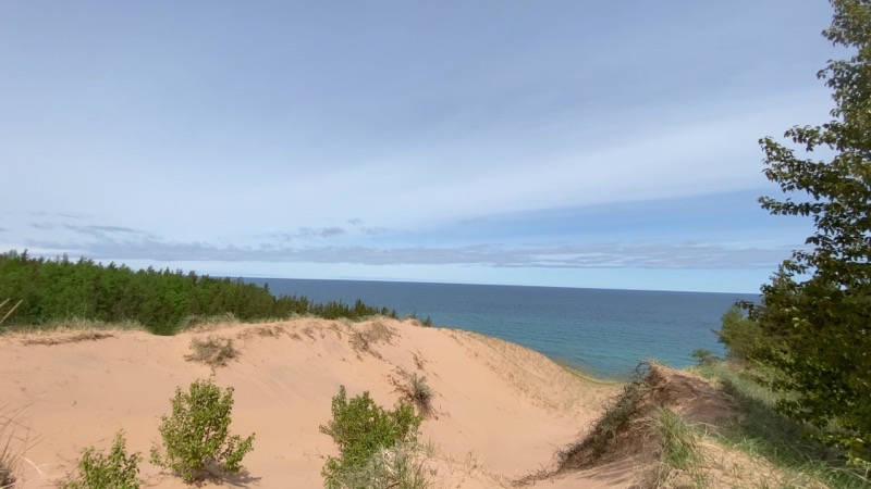
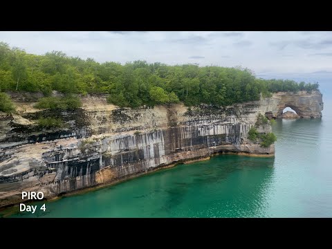
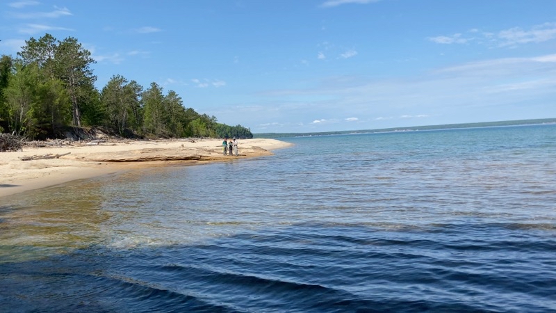
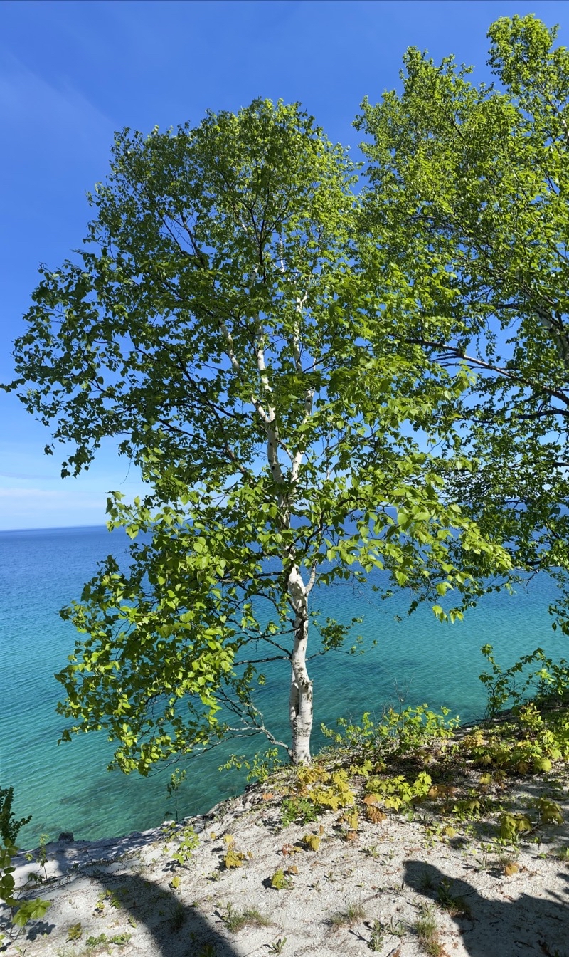
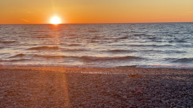
The side trail out across the Sable Dunes is certainly less than a half-mile which a couple small sandy, energy sapping, hills to climb. You can’t get as close to the edge as you once could (well closer than in this photo but you’ll have to work for it) but if you want an early view of Lake Superior this is where you can find it.
--May 27, 2021 at 11:25 AM. Grand Marais, MI, United States
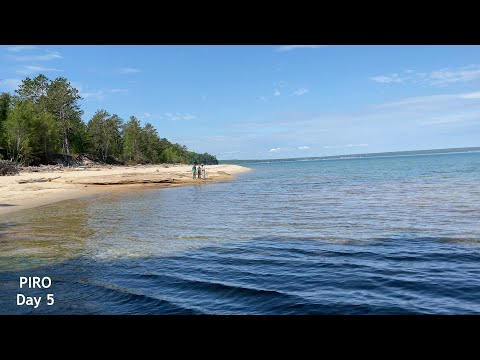
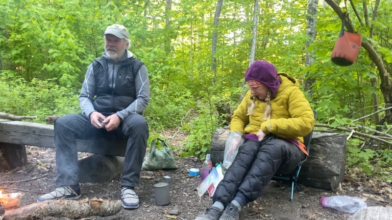
Lunch at Sable Lake found us sitting by a few other people out for the day. We were also lucky to spy a loon off in the distance. too bad the loon didn’t sing. That’s a sound you never grow tired of hearing.
The usual field of trillium we pass after crossing a road after leaving Sable lake behind was nowhere to be found. Ground cover was lush and virbrant and the trilliums, if there at all, were near the end of their bloom. Sure spring came early but I still miss not being able to walk through that field of white and slightly pink flowers. Now and then a large lone pinking flower would appear but the predominant feature of the forest now is lush green forest from the ground high into the trees.
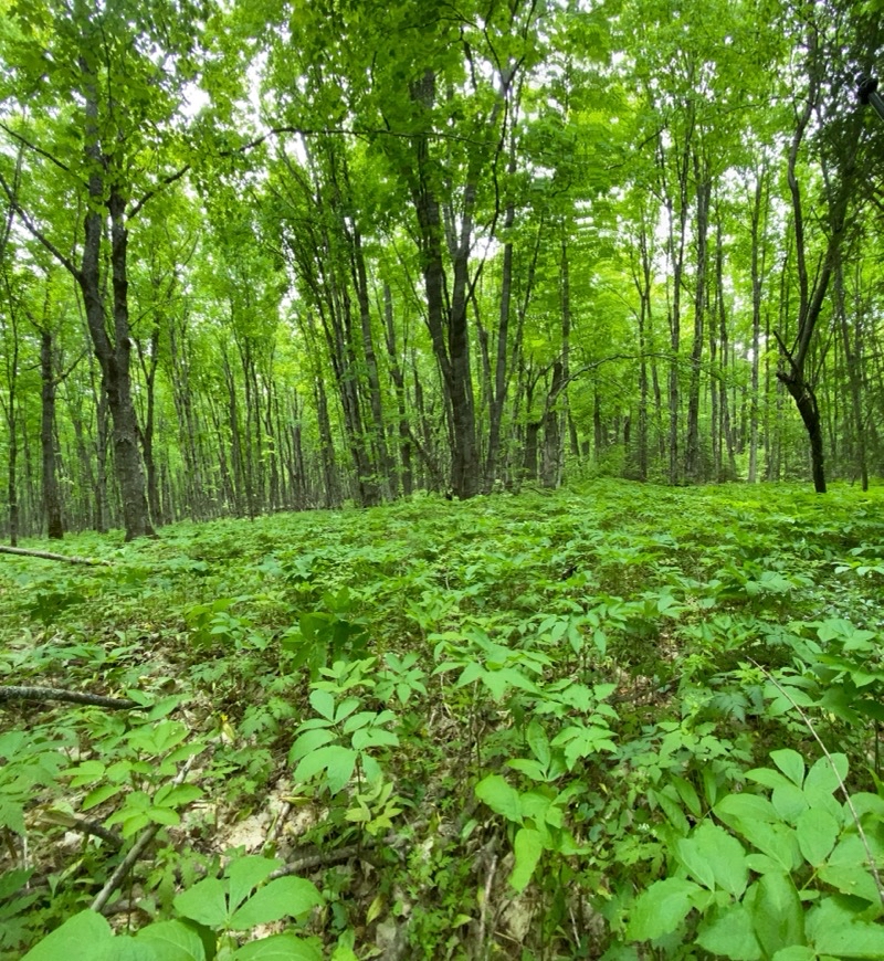
Spring seems to have arrived earlier this year. The ferns are fuzzier and certainly larger than we have usually seen.
--May 27, 2021 at 3:33 PM. Grand Marais, MI, United States
Wildflowers come and go as the seasons change. The Trillums were about done but Forget-Me-Nots were showing off. Other wildflowers, that I generally did not see, were popping up too.
--May 27, 2021 at 3:40 PM. Grand Marais, MI, United States
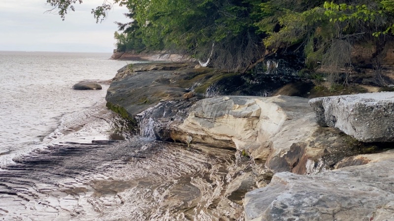
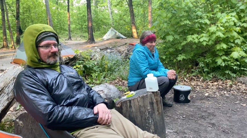
We continued on and it grew a bit cloudy as the afternoon progressed. Not much wind though so the temperature that remained in the low 40s wasn’t really an issue. At the Log Slide you could walk out upon the sandy bluffs. The wind didn’t encourage anyone to linger but as it would turn out though I was the last to leave I wasn’t the last to arrive at Au Sable East Group Site. Tim and Nancy, maybe especially Tim, are superb chatters. They’ll talk with everyone. They lingered to talk with people at the trailhead to the overlook. Andy and El had surged ahead and I plodded on behind them. Down the sometimes modestly steep hill towards the shoreline of a now angry gray Lake Superior. No great views; no great color. But Lake Superior was definitely experiencing a good bit of activity though well short of being storm-tossed.
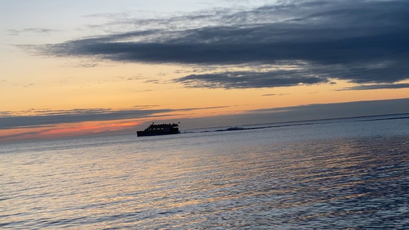
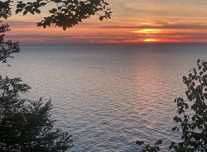
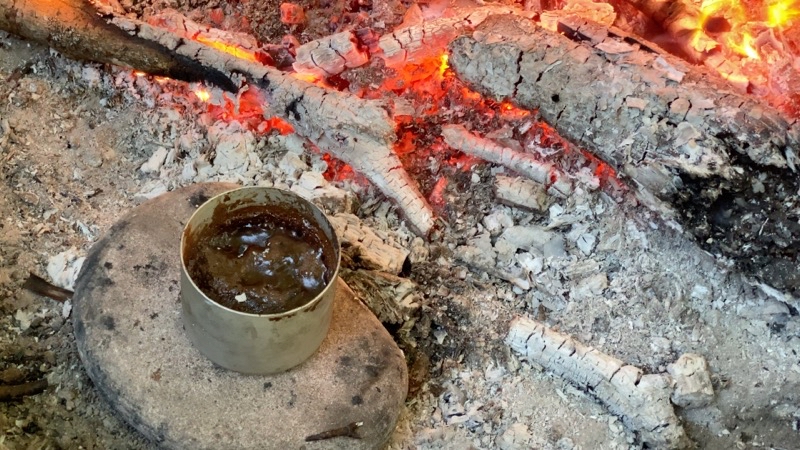
Just after 6:00PM I walked into the group site and we all began to wonder where Tim and Nancy were. Maybe they went to a wrong site. That’s easy to do with the twisting trails around Au Sable East but we soon learned what held them up as they came into the site not too many minutes after I did. It’s a fine gorup site. Tim and Nancy set about gathering wood and getting a fire going which is something the rest of us never bother doing. What a treat. El managed to fetch water for the group which at Au Sable East is usuallys something of a pain. After fine, or at least good-enough, dinners and amiable chatting around a roaring fire we were treated to a glowing red sky as the sun vanished below the horizon. Maybe if we had walked over to the Au Sable Lighthouse we would have seen an actual sunset but the red glow came as a complete surprise to us all as the sky had been, or so it seemed, totally overcast.
While Tim and Nancy went to sleep around sunset Andy, El, and I stayed up for quite a bit longer. A campfire you get to sit around and chat by will cause that to happen. But we eventually packed it in as well as the temperature continued to drop. We all needed a good night’s sleep.
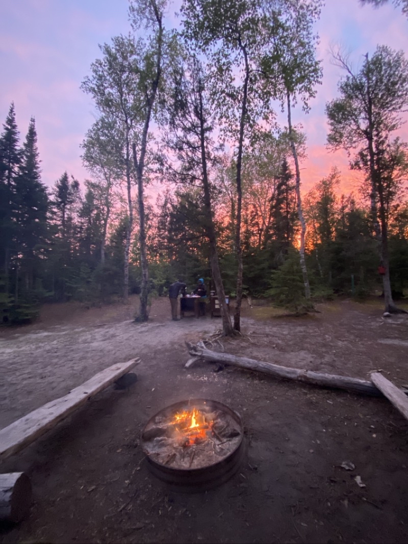
It had been overcast pretty much all afternoon. But at sunset the western sky was diffused with a startling orange glow. That certainly added a nice touch to the crackling fire that Tim anjd Nancy had created for our enjoyment.
--May 27, 2021 at 9:36 PM. Grand Marais, MI, United States