Exploring Pictured Rocks National Lakeshore - July 2025: Part 2
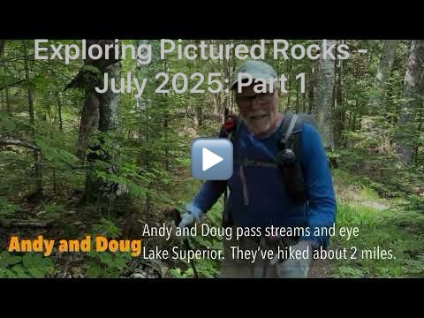
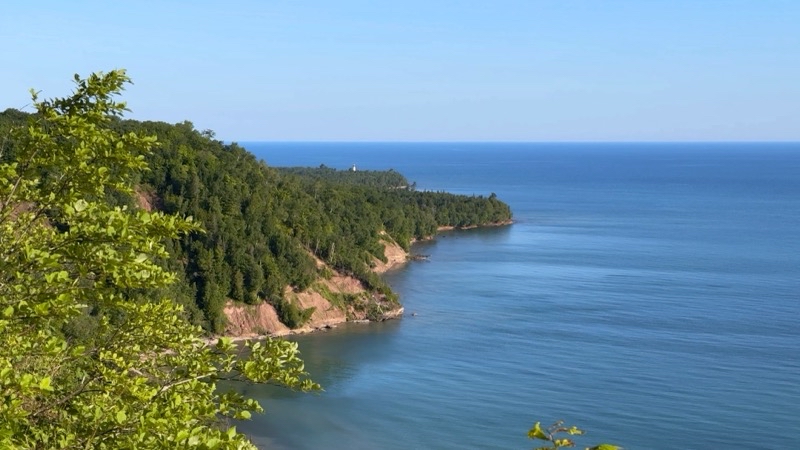
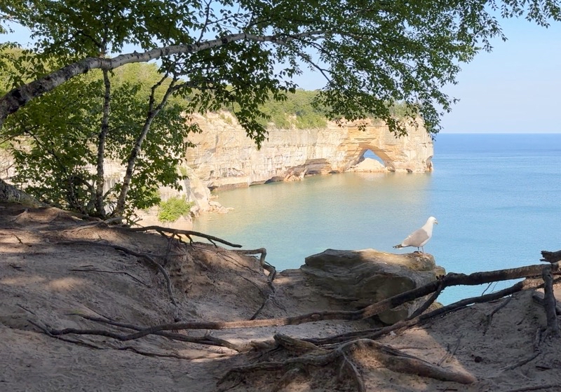
In Part 1 you saw some photos and a video of my journey through the Beaver Basin Wilderness and Andy and Doug’s journey along the Lakeshore Trail from Sand Point to Pine Bluffs. That was effectively the first half of our journey through Pictured Rocks National Lakeshore. In this concluding part I leave Trappers Lake and join Andy and Doug at Sevenmile Creek. From there we suffer through ravening hordes of mosquitos and other biting flies, some massive rain storms, confusion and troubles, while the wonders that are influenced by the ever-changing Lake Superior entrance us.
▶️ Play Exploring Pictured Rocks National Lakeshore - July 2025: Part 2
photos
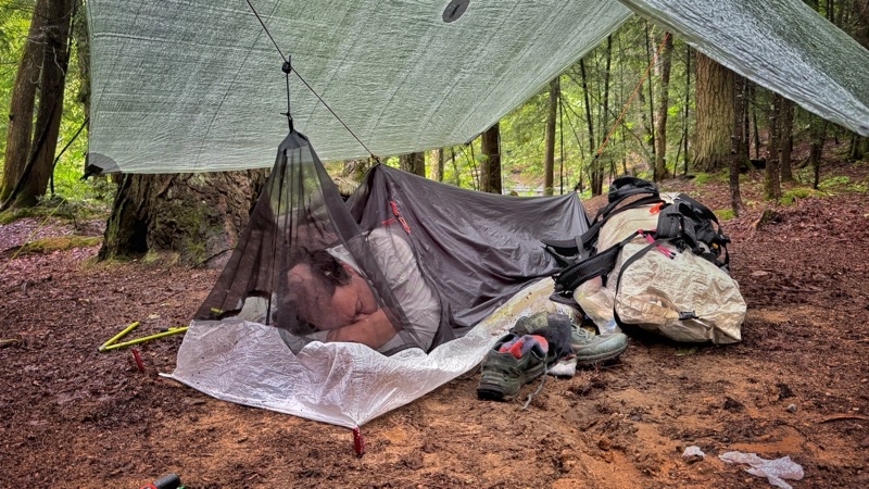
It has been storming for over an hour at this point. Sadly the rainstorm isn’t really knocking the mosquitos and other flying menaces back. But the bivvy is protecting Ken. Photo by Andy.
--July 5, 2025 at 4:36 PM.
Maps are centered on the photo: Google map, Apple map, CalTopo map
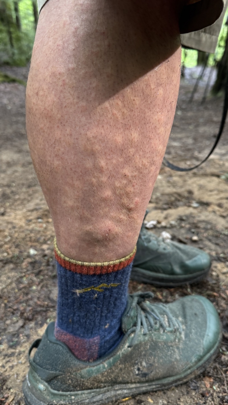
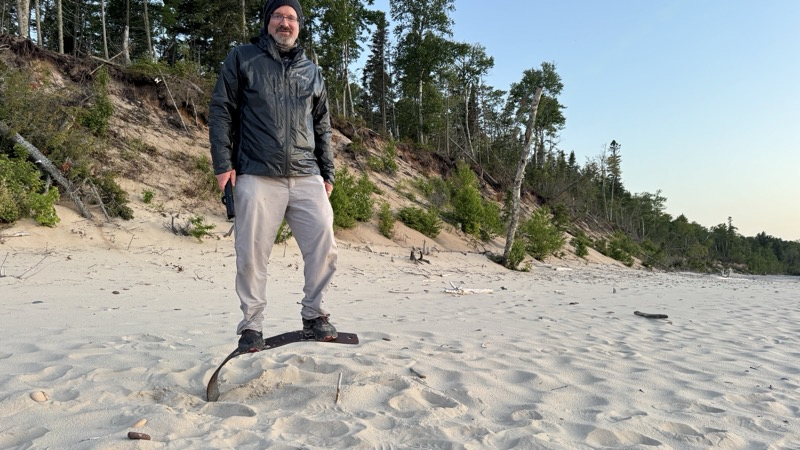
Until Andy snapped this photo I didn’t know how chewed up I really was. I itched but I think I was ignoring the worst of it. Photo by Andy.
--July 6, 2025 at 9:42 AM.
Maps are centered on the photo: Google map, Apple map, CalTopo map
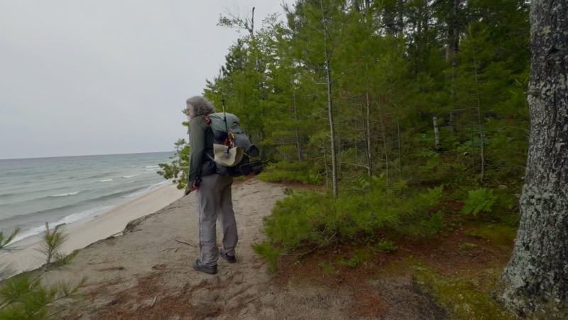
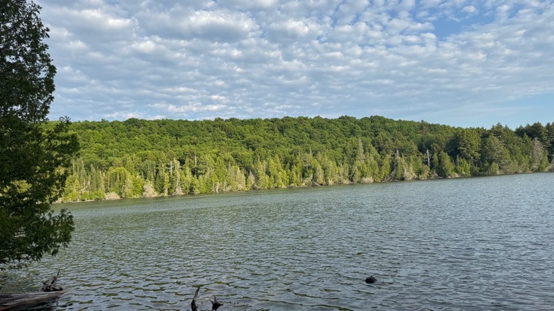
It’s a blustery morning. It’s considerably cooler which is a blessing. Andy and I have been hiking for an hour. We had no reason to rush.
--July 6, 2025 at 10:42 AM.
Maps are centered on the photo: Google map, Apple map, CalTopo map
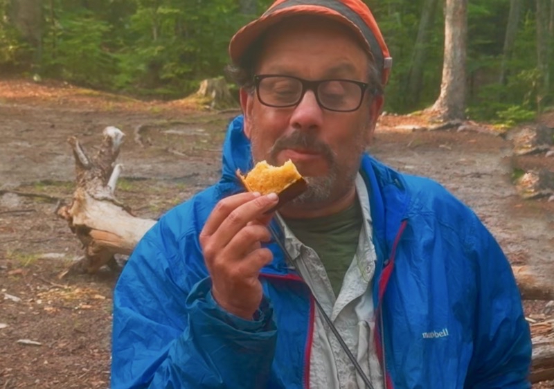
The chocolate chip yellow cake took about 40 minutes to bake. It was worth the wait. Photo by Andy.
--July 6, 2025 at 7:28 PM.
Maps are centered on the photo: Google map, Apple map, CalTopo map
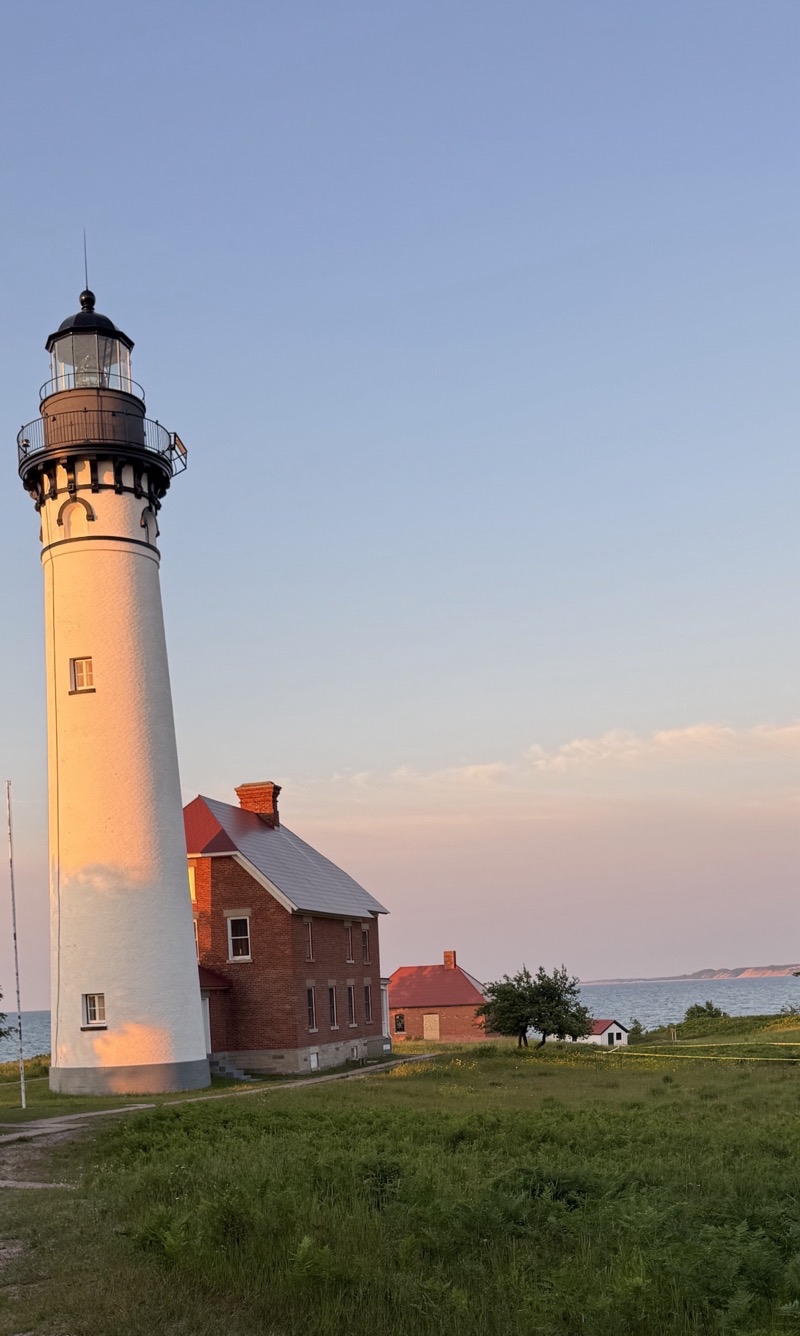
Just before sunset the last of the light bathers the lighthouse is a golden glow.
--July 6, 2025 at 9:20 PM.
Maps are centered on the photo: Google map, Apple map, CalTopo map
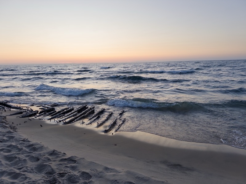
The remains of a ship that was lost who knows when. Walking the beach just after sunset is proving quite nice.
--July 6, 2025 at 9:44 PM.
Maps are centered on the photo: Google map, Apple map, CalTopo map
The sun has just dipped below the horizon. Andy and I are walking along the beach towards a set of stairs that will take us to the access road that leads back to Au Sable Point Lighthouse and then our camp.
--July 6, 2025 at 9:48 PM.
Maps are centered on the photo: Google map, Apple map, CalTopo map
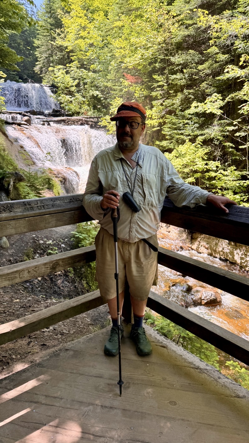
Our final stop of the trip: Sable Falls. Photo by Andy.
--July 7, 2025 at 1:12 PM.
Maps are centered on the photo: Google map, Apple map, CalTopo map