Our first two hikes were not really what we would normally consider hikes. They were more ambles. The first hike had the treat of the 0.4-mile loop through Annie’s (slot) Canyon, and the other hike did have Penasquitos Creek. However, they didn’t really feel like hikes. Today would be different. We arrived at the Cougar Pass trailhead a bit after 8:00 AM. Once again the skies were clear with perhaps just a few cumulus clouds drifting overhead. The temperature was rising. I didn’t realize, perhaps none of us did, just how hot it would get. We donned our backpacks snd struck out along Cougar Pass Trail into the forests, meadows and mountains. A pleasant cool breeze brushed against us. Too bad that didn’t last.
We worked our way through the forest. The hard packed trail generally rose and in time we found our way to the Bobcat Trail. We had a false start here, though really we could have just tackled the loop in the other direction, before properly following the route we wanted. We had taken the advice of a local runner and were enjoying a route either greater shade. As we walked we listened to the life around us. We relaxed without the roar of traffic in our ears. The heat continued to increase its temperature.
At about the 2-mile mark, we found a wobbly bench with a not-particularly-animal-secure trash can nearby. It was a good spot for a break in this mountain meadow. We wondered about trash pickup. As we climbed up towards and around Butnt Mountain a ranger in a tough little 4x4 drove up. He deals with the trash and also checks on people. He has extra water for those in need. I think this heat wave, well above 80 and rising, is unusual but it’s great to see a local natural area like this is well maintained and cared for.
We left the ranger to his duty and continued on. We soon found the bypass that should save us some distance and effort. I am not at all sure it did either. However, it got us off the forest road with its ruts and on to a true trail. A trail that is marked with a sign warning about mountain lions. A bit of zest for the hike. We made more than enough noise to alert anything we were here. It was a gifing little bypass.
We popped back out on the far side of Burnt Mountain. All downhill from here. Downhill on the narrow rutted dirt road. Downhill to a nice viewpoint. The sun beat down upon us. A bit later we found a gloriously shady spot for another break. Stretching out, laying down, for a few minutes was wonderful. A relief from the descent which felt tougher than it should have been probably because the road is full of lumps and ruts. A relief from the heat which by this point just after noon was likely closer to 90 than 80.
We didn’t have far to go but it always seems like the last bit to the end of a hike is the longest and most tiring. However, we did arrive at the car in due time. That is where we learned that on direct sunshine it was 95°F. No wonder we felt a bit whipped. The people we saw climbing up into the mountains, walking their bikes in dome cases, must be more heat tolerant than us. We were happy to be done and happy we had done this hike.
The fly-over view of the hike.
Photos snd Video

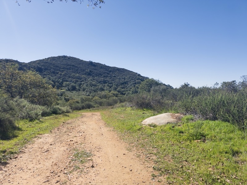
Burnt Mountain. I am pretty sure our bypass climbed over a flank of the mountain. I think the longer option that stays on the dirt road likely climbed less.
--February 27, 2026 at 9:56 AM.
Maps are centered on the photo: Google map, Apple map, CalTopo map
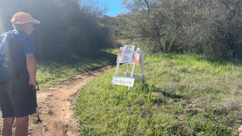
Extra zest is added by this informative sign. It’s telling you what to go in case you have a close encounter with a mountain lion. I am fairly sure this bypass doesn’t save much time or effort.
--February 27, 2026 at 10:08 AM.
Maps are centered on the photo: Google map, Apple map, CalTopo map
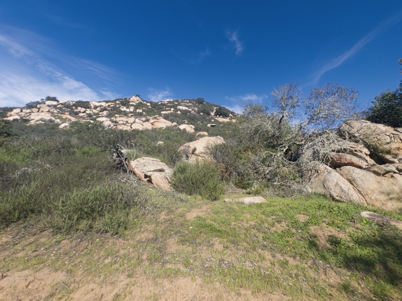
Nifty rocks. Formations like this appeared throughout the day.
--February 27, 2026 at 10:32 AM.
Maps are centered on the photo: Google map, Apple map, CalTopo map
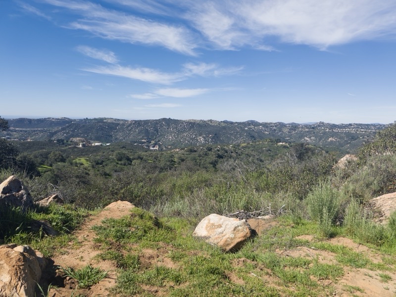
We took a nice break here. It was in direct sun but the heat hadn’t taken its toll yet.
--February 27, 2026 at 10:45 AM.
Maps are centered on the photo: Google map, Apple map, CalTopo map
No comments:
Post a Comment