We hiked the Huckaby Trail. This is an out-and-back hike that we decided we would take to Oak Creek before returning to our car (what the guidebook suggests). The hike is therefore 5.1 miles long with about 530 feet of ascent and 520 feet of descent. However, that is a bit misleading. On the outward bound leg of the hike you will descend about 330 feet while climbing 200 feet. Those numbers are reversed when you retrace your steps. The trail is strewn with rocks which makes hiking more difficult (especially for me). It is definitely going to stress your muscles and mind if you are not comfortable with ascending and descending along a rocky trail.
The day was clear and bright: what you expect from Sedona. When we left our car the temperature was around 55°F and throughout our hike the temperature steadily rose to the day’s high of 68°F. We spent 5 hours and 20 minutes on the trail of which time just over an hour was spent taking breaks. While the trail is not going to remain in our memories for glorious views it was a good day to be out and about. But I doubt we will ever hike this particular trail again.
This animated map will give you an idea of what we did.
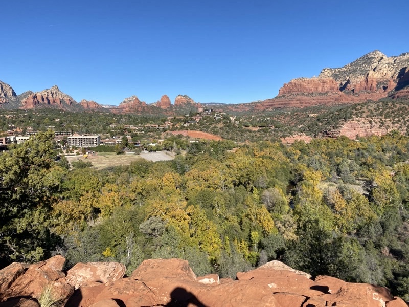
About 0.75 miles into our hike along the Huckaby Trail we found this bench with a view of part of Sedona. The trail has had some descents and ascents and the terrain has been rocky most of the way. That makes, certainly for me, the descents far more challenging.
—October 31, 2022 at 9:45 AM. .
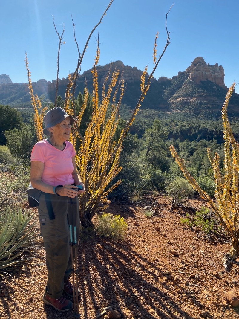
There are several ocotillo in this little path though you only see this yellowinging one here. What is special to us is that when we visit Tucson during early winter I do not believe we have ever really seen these plants with leaves still on the stalks.
—October 31, 2022 at 10:03 AM.
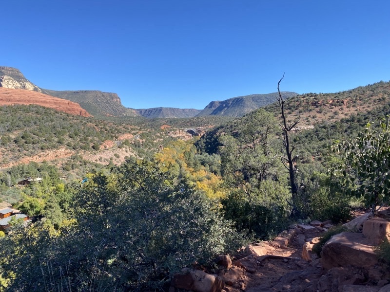
In the distance you see Midgley Bridge. It is, according to the guidebook, a highpoint as far as views go. I suppose it spans the gorge that Oak Creek has been creating. At this point we have hiked about 1.6 miles and have another 0.9 miles to go to reach Oak Creek. To get there we will have to descend down a somewhat rocky trail before reaching a grassy glade that would take us to Oak Creek itself.
—October 31, 2022 at 10:28 AM.
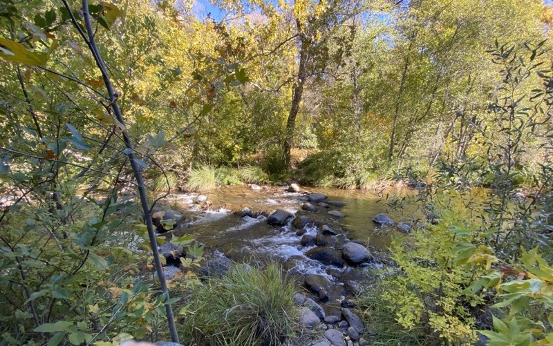
This was a sadly anti-climactic view of Oak Creek.
—October 31, 2022 at 11:34 AM.

Ken in the glade where we had lunch. Midgley Bridge stands tall in the background. Photo by Judy.
—October 31, 2022 at 11:53 AM.
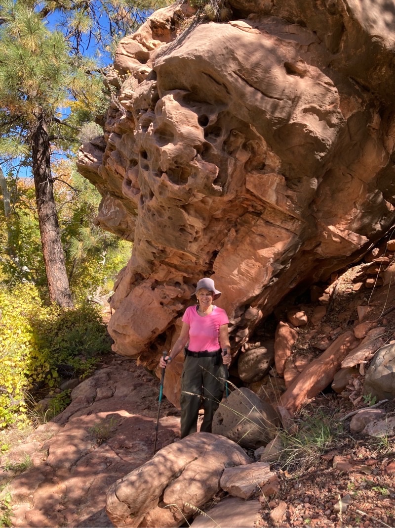
Swiss Cheese Rock and Mom. We are descending a fairly rocky trail down to Oak Creek. The sound of the water is enticing but we never see the creek. This photo was actually taken as we retraced our steps climbing back up the rocky trail which, while tiring, is certainly less stressful. Photo by Jonathan
—October 31, 2022 at 1:31 PM.
No comments:
Post a Comment