This is our final day in Sarasota and it is a lovely day of sunshine and warmth. The previous 3 days have been quite cool, chilly by Florida standards, and overcast. Today is bright, clear, and steadily warming towards a high around 71°F. Our only concern is that it is a bit windy and that could make kayaking the mangrove tunnels of Lido Key less fun. However, we decided to to drive over there and hope that by late-morning conditions would improve and be more than suitable for our self-guided paddle in the shallow waters that make up these bays dotted with islets and the tunnels of mangroves.
When we arrived at the kayak rental point it was still a bit blustery and not quite as warm as we wanted so Mom and I took a short walk while Dad waited at the car. Most of the trails in the Ted Sperling Nature Park are currently closed this short trail that follows a dandy path and crosses several bridges took us out to an overlook near tunnel number 2. A pleasant walk that used up enough time that by the time we returned it was clear that this was going to be a fine day for our paddle. We set off with Mom and Dad in two-person sit-on-top kayak and I had a single of the same style boat.
On busier, probably warmer, days there are several kayak companies that rent boats for self-guided paddles or guided tours. When we we getting our boat just one company was there. We wondered how they decide when to rent boats. We never did find out. However, we did learn that hurricane Milton did indeed thoroughly swamp the key with wanter and deposited sand all over the place where sand shouldn’t be. Considering the amount of damange done I think it is remarkable they’ve cleaned so much up in the 3 months since the storm. Perhaps that is why many trails are curretnly closed. However, for our purposes of paddling you would not know a major storm had wrought so much destruction.
I’ll let the photos tell the story of our paddle. This is an easy paddle of about 3 miles if you just choose to pass through most of the tunnels, pause for lunch on the beach, and return. You could extend the paddle by venturing out into Sarasota Bay as the guided tours do but it’s not what we wanted to do. I’ll just add that you should wear shoes, if you do, that you are willing to soak. You’ll get your feet wet entering and exiting your kayak at places you want to do so. And you could always find yourself unexpectedly stuck on a sandbar or shoal as the waters are frequently quite shallow. This happened to me after we made a wrong turn in tunnel 4 that took us to a bridge and then out into the bay where I hit a too-shallow spot as we paddled back to tunnel 3. I had to get out and walk my boat off the shoal, just a few yards, before getting back in. At least the water at that spot was quite a bit warmer, probably because it was so shallow and in full sunlight, than the water at the put-in point.
Photos
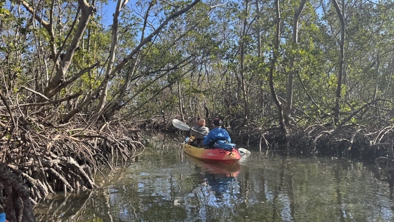
There are five mangrove tunnels. I think this was the first.
—January 10, 2025 at 10:57 AM.
Maps are centered on the photo: Google map, Apple map, OpenTopoMap map
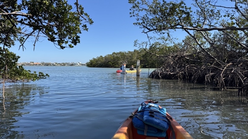
Exiting a mangrove tunnel. For some reason the tunnels are marked with much more visible buoys than at the boat launch site.
—January 10, 2025 at 11:01 AM.
Maps are centered on the photo: Google map, Apple map, OpenTopoMap map
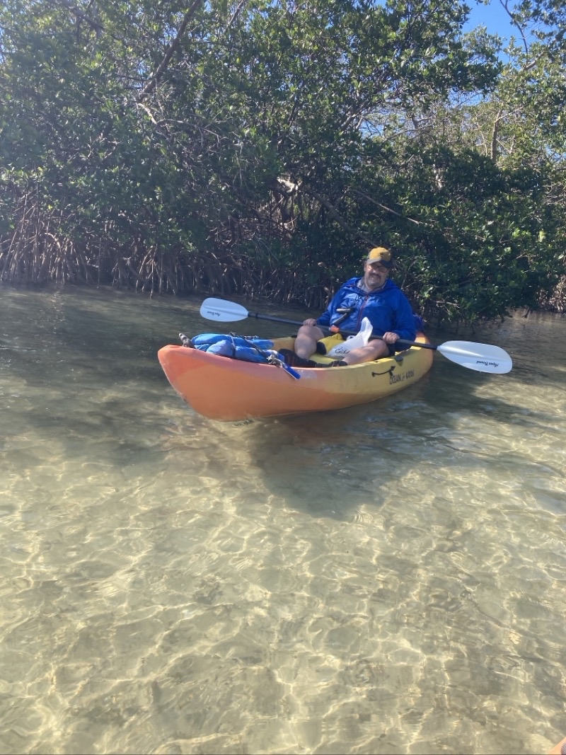
Ken. The water here is quite shallow. In fact, there are places where it is possible to run aground. That would happen later on to Ken after exiting tunnel 4 route to the beach lunch spot. Photo by Jonathan.
—January 10, 2025 at 11:06 AM.
Maps are centered on the photo: Google map, Apple map, OpenTopoMap map
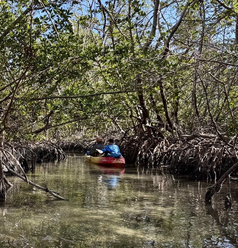
Mom and Dad lead the way into one of the mangrove tunnels. There is a current in them so if you’re going with the flow you really need only steer. This time we had to actively paddle. The tunnels can be quite narrow and it’s unlikely you can get through without bumping foliage with your paddle or boat: at least I find it so.
—January 10, 2025 at 11:24 AM.
Maps are centered on the photo: Google map, Apple map, OpenTopoMap map
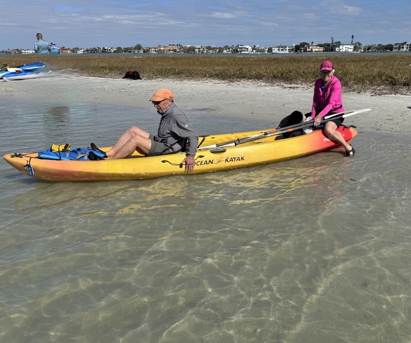
It’s time to get back in the kayaks and paddle back to the boat launch point. The water feels warmer here.
--January 10, 2025 at 2:59 PM.
Maps are centered on the photo: Google map, Apple map, OpenTopoMap map
