Thoughts mostly about travel and places I have been. While a lot of my travel is into the backcountry backpacking or paddling I do my share of trips to more traditional front-country locations too. From time to time other items of note will appear that definitely fall outside the realm of travel and associated things. It is also worth noting that I am legally blind.
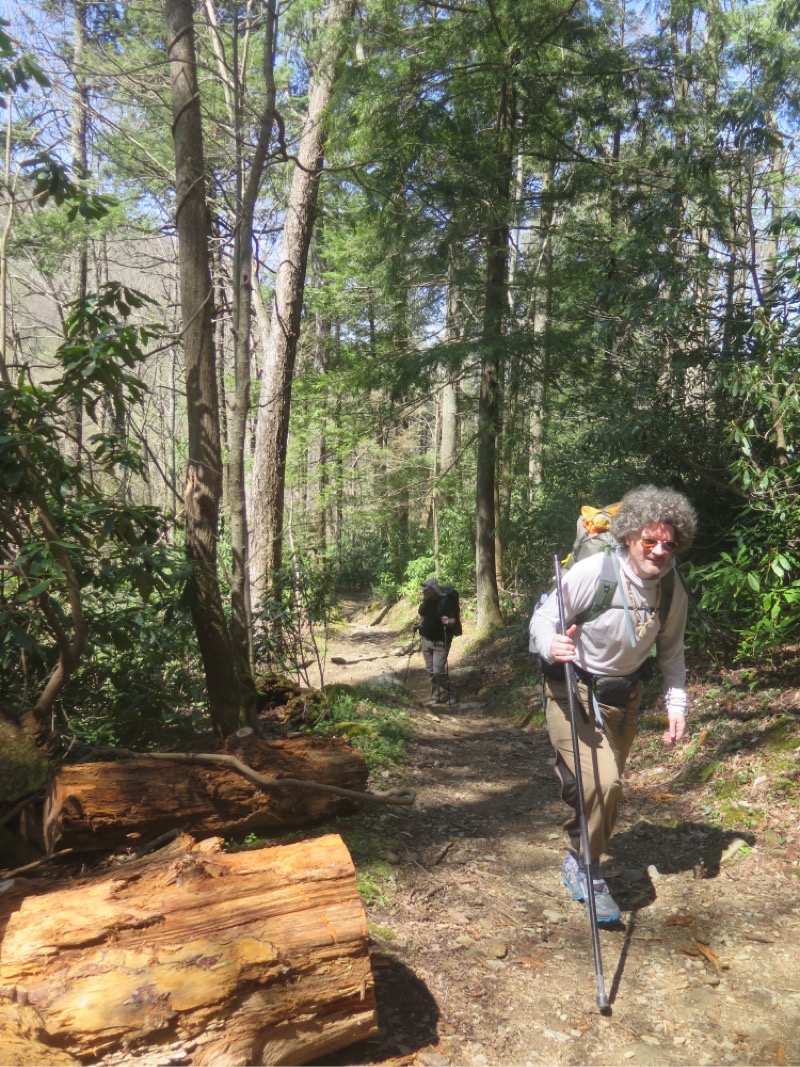
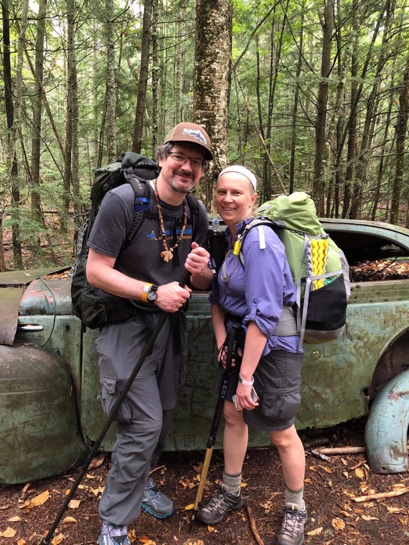
Ascending the Low Gap trail from Cosby campground to the Appalachian Trail. This is a surprisingly steep trail. Andy will misplace the necklace on the last day of this weeklong backpacking trip. Photo by Duane.
--April 11, 2021 at 12:29 PM.
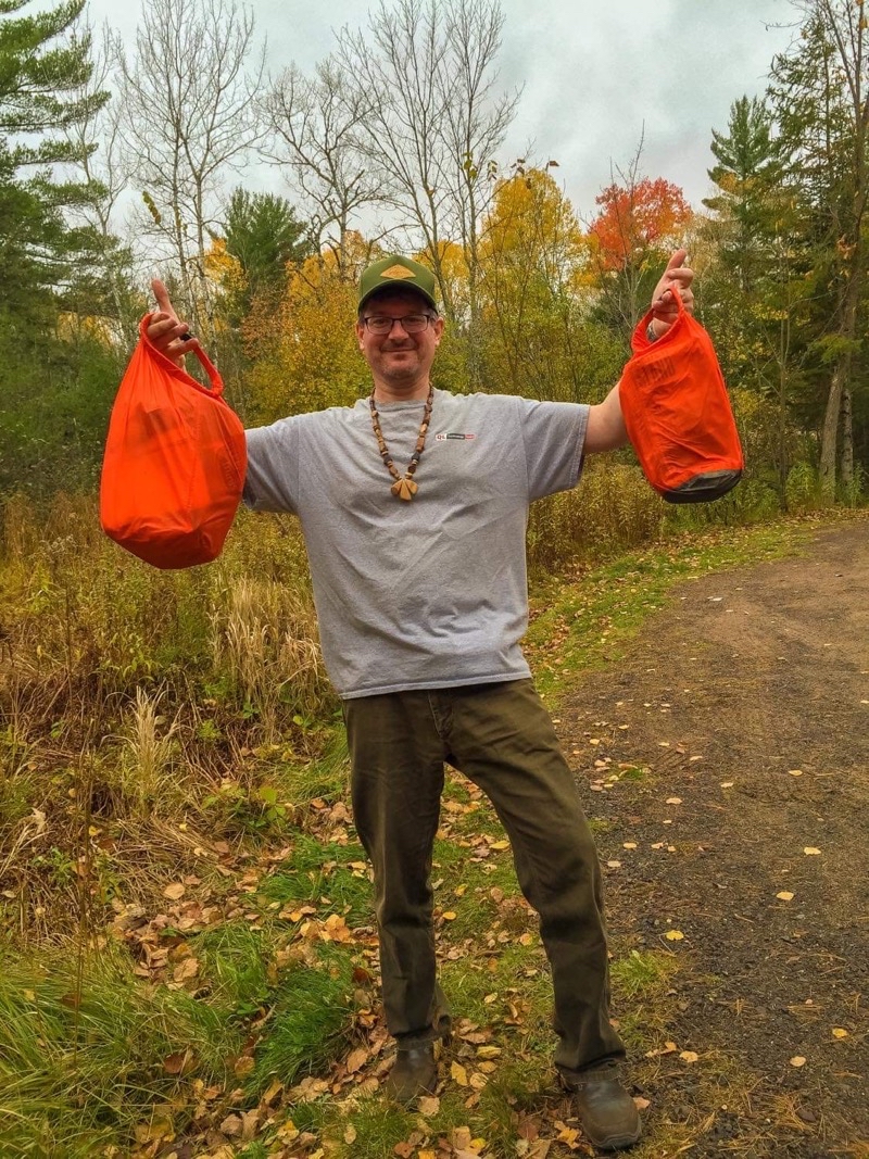
The week-long backpacking was done but the trip wasn’t over. Andy had mislaid his wooden necklace somewhere south of Siler’s Bald Shelter. He has worn the necklace on every trip (to my knowledge) for decades. He bought it as a young adult and it is therefore important to him on many levels. Therefore it was important for him to at least try and find the necklace. We had time. He had the need. At 08:30 we pulled into the rather busy parking area at Clingman’s Dome on a partly cloudy cool morning. Ideal weather for someone to zoom down the trail searching for an item that embodies so many memories. For myself I would just amble along and see how far I would get before receiving a message, via Garmin InReach Satellite Messanger, that Andy was on his way back. We figured he would travel upwards on 18 mles round-trip; I would go a mere 6 or so.
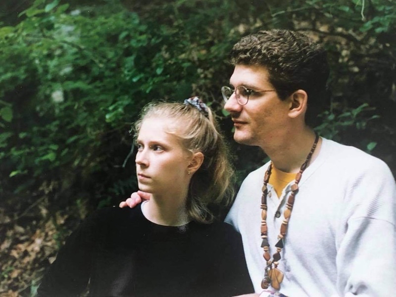
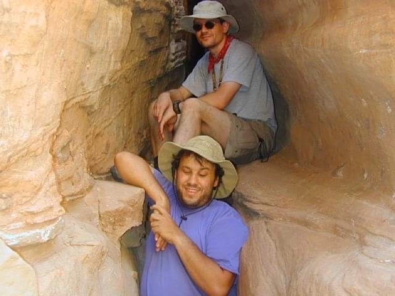
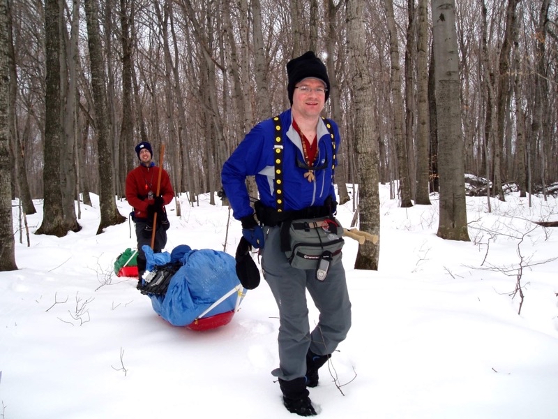
The photos include people besides Andy. The necklace is the star and you can see it is worn in many different situations from 1997 (oldest photo we found) to the present-day.
Photo taken 1997 Photo taken Jul 15, 2002 at 11:14 AM Photo taken Jan 16, 2006 at 12:32 AM Photo taken Jul 16, 2006 at 12:03 AM Photo taken 2007Photo taken Aug 11, 2009 at 5:13 PM Photo taken Aug 13, 2009 at 10:58 PM Photo taken Jan 1, 2010 at 1:21 AM Photo taken Aug 19, 2012 at 1:58 AM Photo taken Oct 10, 2014 at 12:10 AM Photo taken May 1, 2016 at 12:30 PM Photo taken Oct 15, 2018 at 11:16 AM Photo taken Sep 15, 2020 at 11:21 AM Photo taken Apr 11, 2021 at 12:29 PM
The nachos are not really the entire dinner but they are the basis for this vide. I get a chance to experiment. I use my new wireless microphone from Comica , the Brennerle Hobo wood burning stove, and the ultra cook kit for Firebox Stove. I also get to see what more I can do with a single iPhone 11 Pro and the application DoubleTake which lets me film with 2 lens simultaneously.
It has been almost 12 years since I set foot on the Appalachian Trail. I join, initially, 4 other fellows (later 5) to hike the section of Appalachian Trail (AT) through Great Smoky Mountains National Park. Due to a shelter closure of Cosby Knob Shelter we were forced to change our plans but most would still hike some 65 miles of AT through the Smoky Mountains. Sadly my trip would suffer some far more radical changes. However, even with that being said I think you’ll enjoy the video.
April 10
We got on the road pretty close to when we had first targeted. Duane and Mike piled into Mike’s car and I joined Andy in his. We would meet Steve somewhere around Lexington, Kentucky. I am always a bit amused by the fact that we can spend over 10 hours driving to get to a destination outside of Michigan but we could just as easily spend a comparable amount of time driving within Michigan.
There isn’t much to say about the trip down to the Fontana Village Resort. Andy and I took twisty mountain roads, culminating withe the over 300 turns of the Dragon’s Tail, to eventually reach the resort. Steve, Mike, and Duane dropped off Mike’s car at a cloud shrouded, uninviting, Newfound Gap and continued on to join us at the resort arriving not long after we had checked in. As travel days go I would have to say this one went well.
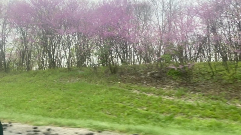
We are getting into the foothills of the mountains. As we zip down i-75 we pass by stands of lovely purple blooming trees. They are Eastern redbuds.
--April 10, 2021 at 2:58 PM. I-75 S, Jellico, TN, United States
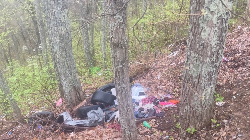
We stopped at several points along the Dragon’s Tail road to take a break and admire the view. It’s too bad that our views were marred by scores of Bud Light cans and other trash. Come one people; you carried them in with you and they’re lighter after you finish with them; carry them out.
--April 10, 2021 at 4:33 PM. Happy Valley Rd, Tallassee, TN, United States
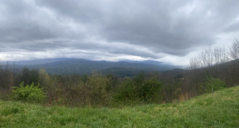
A sample of the views we got to enjoy as we wound our way through the foothills along twisting mountains roads like Foothills Parkway and the Dragon’s Tail.
--April 10, 2021 at 4:53 PM. Foothills Pkwy, Maryville, TN, United States
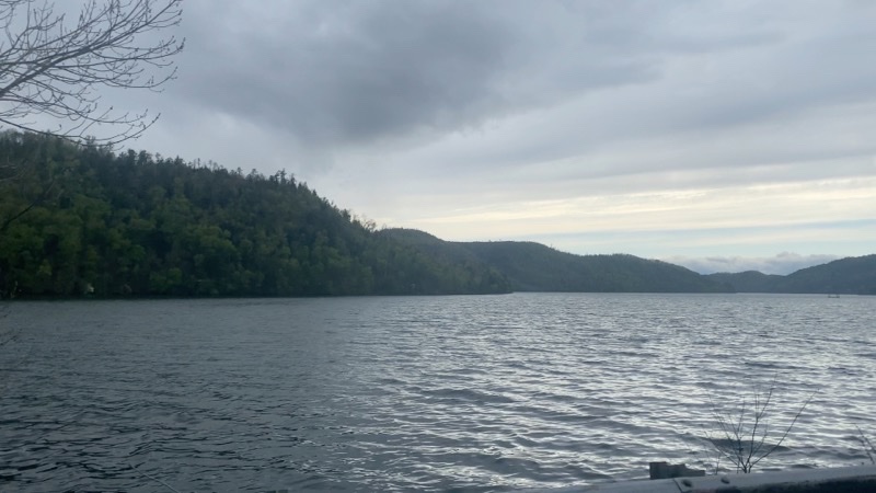
Chilhowee Lake passes by under not quite ready to storm skies. We would learn later that high in the Smoky Mountains the weather was far worse.
--April 10, 2021 at 5:08 PM. US-129, Tallassee, TN, United States
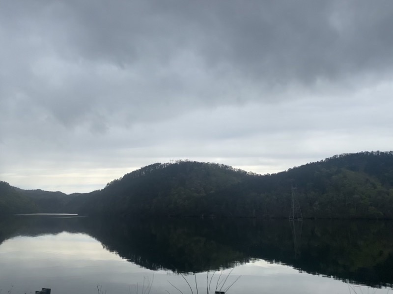
South of where we were in the previous view of Chilhowee Lake and out of the wind. Quite a difference,eh?
--April 10, 2021 at 5:10 PM. US-129, Tallassee, TN, United States
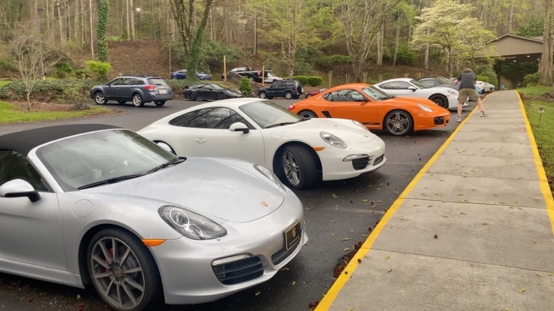
We arrived at the Fontana Village REsort and Spa to find we were in the midst of a Porsche event. To be fair a couple of the cars in this line are not Porsche but most are (and the empty spaces would fill with more). The drivers of these cars must have good reflexes and not suffer motion sickness. They drove along the Dragon’s Tail far faster than we did.
--April 10, 2021 at 6:32 PM. 300 Woods Rd, Fontana Village, NC, United States
April 11
Rise and shine. We were ready to go a bit before 08:00. We left the Porsche-infested confines (more had appeared, notably 2 more orange cars surrounding the one in yesterday’s photo) of the resort. After dropping off Steve’s SUV at the southern end of Fontana Dam we squeezed into Andy’s Subaru Outback and spent the better part of 3 hours driving to Cosby Campground in Cosby, Tennessee. We had been forced to change our plans since Cosby Knob Shelter had been closed by the park service due to an active mother bear and her cub. We would hike in from Cosby Campground via the Low Gap trail and then along the AT to Tricorner Shelter. That would be quite an experience.
The Low Gap Trail joins the AT in 3 miles. For the first 0.5 to 0.75 miles the trail is deceptively gentle climbing besides a fast-flowing creek. Then it steepens and continues to do so over the remaining distance. At the 2 mile mark, that is 2 miles from Cosby Campground, you will have easily gained almost 1,500 feet. By the time you reach the junction you will have climbed over 2,200 feet. This is a rugged climb. Still it doesn’t daunt day-hikers who are keen to visit Mt. Camerer fire-tower which lies an addition 2.8 or so miles to the south of the junction with the AT.
The others pulled ahead and I plodded along. I caught up with Mike at a spring, call it about 2.4 miles in, and then he pulled ahead again. By this point my knee was screaming. Maybe I was a bit dehydrated but this was pain that I don’t think had much to do with that. It was becoming quite clear that the ligaments around the knee were not reacting well to the ascent. Not reacting well at all. Could I have contuned to Tricorner Shelter, about 8.5 miles distant with more albiet far gentler climbing, still to do. I did not think so. At least not in anything like a timely fashion. I was moving at about 1.1-1.2 MPH. I wsa in trouble. I didn’t want to make others feel unsafe and have to worry about me. I did not want to hurt myself more than I could avoid. I decided that heading back to Cosby Campground was the prudent thing to do. We parted company and I began the steep descent down.
Surprisingly enough the knee didn’t hurt much going down. It was not pleasant but I had been expecting it to be worse than it was. I eventually found my way to the campground hosts a bit less than 3 hours after leaving the boys behind. I then spent an irritating amount of time trying to reserve a campsite. What a waste. I bet I could’ve grabbed one and just used it and no one would have been the wiser. Oh well: score one for honesty.
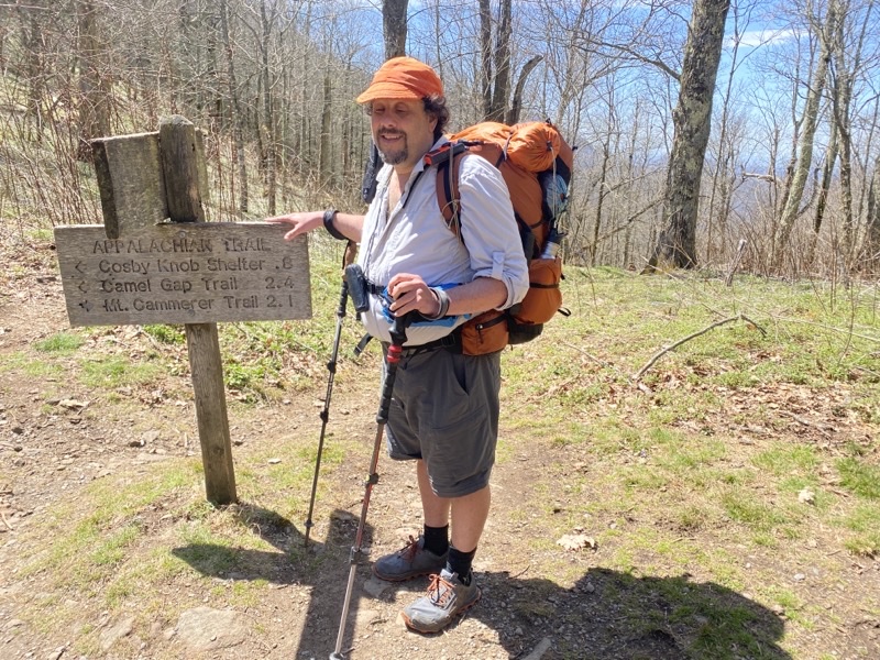
At this late date I don’t recall who snapped this photo with my phone. My brief step onto the Appalachian Trail at the junction with the Low Gap Trail. The ligements of my left knee are rather painful (yes, I aggrivated the injury; physical therapy is in my immediate future). The guys will stride forth on their way to Tricorner Shelter and I will return to Cosby Campground and make the best of a unfortunate situation.
--April 11, 2021 at 2:35 PM. Low Gap Trail, Cosby, NC, United States
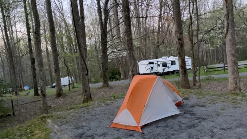
Campsite A41 in the Cosby Campground, Cosby TN. I was told when I reserved my campsite, after ridiculously long time waiting on the phone, that the campsites had beer boxes. I never found one. I was forced to place my food simply on the table far away and hope for the best. Maybe I could’ve asked an RV camper or even the campground hosts to hold my food but I didn’t do that. As a car camping campground it may be great, especially if you have a mallet that lets you really pound in tent stakes, but for me one night was more than enough.
--April 11, 2021 at 8:13 PM. 471 Cosby Park Rd, Cosby, TN, United States
April 13
Let’s start by talking briefly about the intervening days before I managed to return to the Appalachian Trail. I packed up my camp at campsite A41 and struck out along the road that runs 2 miles to Hooper Highway (I think that’s the name; also TN-32). It’s a nice enough road running by a bustling creek. A few cars drove by but I did not try that hard to wrangle a ride. I didn’t know where I was going so a ride just to the entrance seemed a bit silly. At the entrance I managed to get a cellphone signal and with the help of Mom, all hale those who stay behind, was able to find a hotel I could stay at at least overnight. The Cub Motel is just a few minutes drive from where I was and the person Mom talked with, Drake, was willing to swing out and pick me up. He had me in my clean modest room ($50 per night) by noon. It was then up to me to figure out what to do with the rest of the trip. Again enlisting the help of my parents we were able to find shuttles that would get me to Newfound Gap on the 13th and then two days later get me to Fontana Resort on the 15th from Clingmans Dome. It’s too bad I did not think to have that second shuttle fetch me from Clingmans Dome on the 16th as I could have then spent a third night with the boys on the trail. By the time that thought occurred to me I was out of effective communications range. I may have been able to make it work with messaging to and from my parents via the Garmin InReach satellite messenger and then re-scheduling with Cherokee Cabs but maybe not.
My shuttle arrived just a bit early but I was ready to go. In a bit other an hour we had worked our way through the slow-traffic tourist trap of Gatlinburg and then up into the mountains of Great Smoky Mountains National Park and Newfound Gap. It was drizzling some but there were a surprising number of people there. That number seemed to increase as I hosted my backpack and slipped on my Packa rain-jacket (think a poncho merged with a rain jacket and you’ll have a good idea what the Packa is like. The guy that makes them does almost no marketing but clearly cares about his product and will work with you to get it just right) over everything (not the best way to do that; you really should put the Packa on the backpack first then after putting the backpack on you can slip your arms into the Packa).
Under the light drizzle at about 14:30 I began my second journey along the AT of this trip (if we can call taking a dozen steps on the 11th the first journey). The most notable thing about the 3-mile hike to Icewater Spring Shelter was the number of people I encountered along the way. While I encountered a few backpackers heading in the same direction as I was and going to the same place the vast majority of people were day-hikers (some seemingly rather ill-equipped). I expect most of them were making the roundtrip to Charlies Bunion. I hope they enjoyed themselves. The trail is moderately rock and root strewn but I have seen far worse. It gradually ascended about 1,200 feet over 2.5 miles before gradually descending to the side trails that lead to Icewater Spring Shelter. For those with an eye for trees the trail certainly passes by a variety of species including through a nice stretch of evergreens.
I think I made the trip in about 2.5 hours. Hardly setting a speed record. Even if you account for the few short breaks I wasn’t setting the world on fire. At least my knee wasn’t really complaining all that much. I was going to be slow but I did make it to the very crowded shelter.
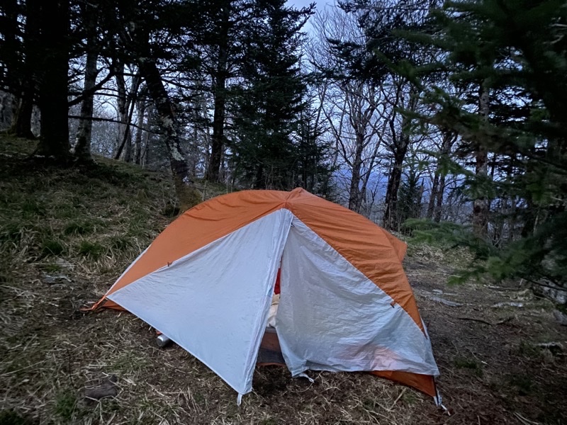
I won’t begin to guess how many people were at the shelter but if you told me it was 3 dozen I would not turn a hair. Most of us were in tents, small and large, spread out around the shelter. That’s a change I hope can continue and as long as hikers take care of the land and don’t leave waste of any type strewn about and store food properly I think this chnage could hold. Certainly better than being trapped within the confines of fencing around the shelter and just using the shelter itself.
Several hours of easy-going chit-chat all related to hiking on the AT left everyone feeling good and happy. If I had gotten the amount of water correct for my dinner and used less Iit ended up a bit watery) things would have been perfect.
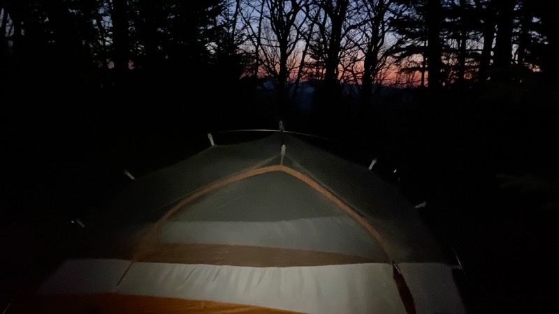
The sun has set and the light is fading fast. Time for bed. I hope this change of permitting people to tent at Great Smoky Mountains National Park Appalachian Trail sehlters continues. It will require the users of the shelters to not abuse the grounds.
--April 13, 2021 at 8:28 PM. Appalachian Trail, Cherokee, NC, United States
April 14
You can see sunrise is only minutes away. We are probably just into what is known as civil dawn. I’ll have the tent down well before what I would really call first light.
--April 14, 2021 at 6:27 AM. Appalachian Trail, Cherokee, NC, United States
When you plan to reach your re-supply point which lies just over 3 miles and 1,200 vertical feet down from where you currently are by 10:00 you probably are going to be getting up pretty early. If you are notoriously slow breaking camp even though you can hike quickly that holds true. If you are working with an injured left knee and aren’t the quickest at breaking camp it rings true in spades. Andy falls into the first category. I was definitely in the second. I know Andy set his alrm for 05:30 and I had done the same. I actually woke up well before then and lingered under my quilt hoping to eek out just a little more sleep: no joy. As the sky slowly acquired shades of red and pink by the horizon and the deep dark blue and blue of night faded to lighter and brighter shades of blue I packed up my gear and tent. Dawn was definitely breaking as I gathered up my stuff and walked up the hill to the shelter where people were stirring. Once one person really begins stirring the rest of the shelter tends to follow suit. It’s hard to stay asleep when hikers are hustling about, turning out invariably roaring loud stoves to heat water, rustling gear about as they shove it into their packs. It gets noisy.
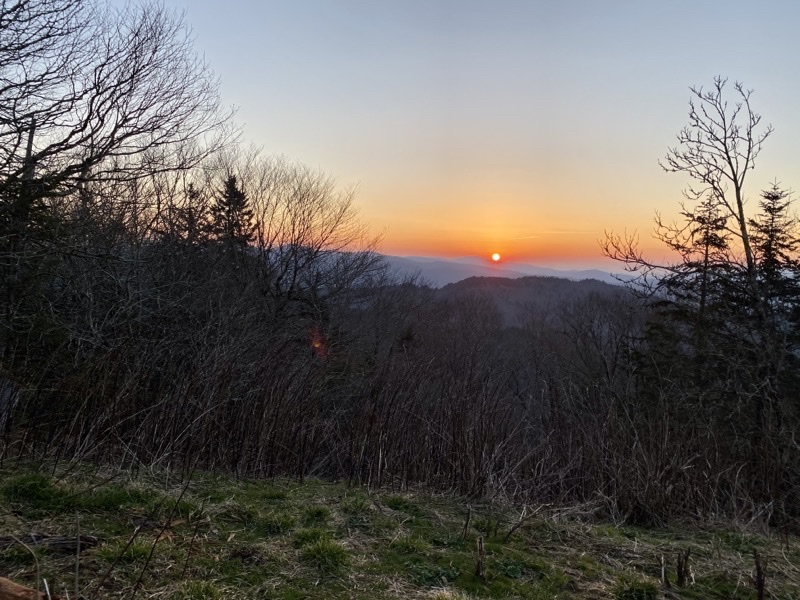
My hot water for hot chocolate ws warming nicely on my quiet alcohol burning stove and the sun was creeping over the horizon. I had to go an observe. My recollection from 18 years ago was that it was overcast with clouds above and below. We set in a clear space at the shelter. Of course, as I gzed on the rising sun my hot chocolate was turning into more of a warm chocolate. I suppose Andy ws right I could drink it more quickly but hot is still preferable.
Just before 07:30 Andy and I hoisted our packs and began the walk out to the AT and towards Newfound Gap. The rest of the gang wouldn’t be all that far behind. Soon Andy, Duane, Mike, and Steve had pulled ahead and I was well behind hiking through a lovely warming-up sunny morning. It ended up taking about as long to return to Newfound Gap as it had to hike to the shelter the previous day.
I think we lingered at the gap diddling about with our backpacks and waiting for Dennis to arrive for an hour or so. While we passed by a few dozen day-hikers heading towards Charlies Bunion I don’t think we saw the numbers that went by the previous day.
Mt. Collins shelter lies about 4 miles south of Newfound Gap. ALong the way you have two or three decent climbs and descents. I think each was about 550 vertical feet over a distance of a bit more than a mile in each case. Typical grade for the AT and far gentler than the Low Gap Trail. I felt it and wasn’t going any faster but I was going.
Along the way I got to chat briefly with a trail maintainer. She was working on the water bars when I passed by. Keeping those in good shape in the Smoky Mountains certainly is an important job. Thank you.
Other than her I did not see that many people. A group of hikers before Indian Gap who said I might find trail magic being given out there (nope, they’d left by the time even the boys got there well before me). Later a group of AT backpackers found me by the spring near the Spruce-Fir Nature Area.
I hoped to be at the shelter between 15:00 and 16:00 well before the promised stormy weather arrived. I arrived around 15:15. Plenty of AT hikers were already there along with the rest of the group. We decided we would all stay in the shelter keeping our tents nice and dry. Some AT hikers did the same but others set up their tents. I bet the latter group slept better. At least the rain would sound a bit more quiet as it bounced off tent fabric as opposed to the skylight in the roof of the shelter (and the snores would have been a bit farther away).
Andy impressed many with his pepperoni and cheese on tortillas. I think my pasta would have been much better if, again, I had not used too much water. It had nice enough flavor but was too soup-like instead of pasta Alfredo-like.
18 years ago when I was last at Icwater Spring Shelter I am virtually certain we awoke to skies with clouds actually below and above us. Today a lovely sunrise is pulling hikers of all sorts out from their cocoons of warmth. Lovely.
--April 14, 2021 at 7:04 AM. Appalachian Trail, Cherokee, NC, United States
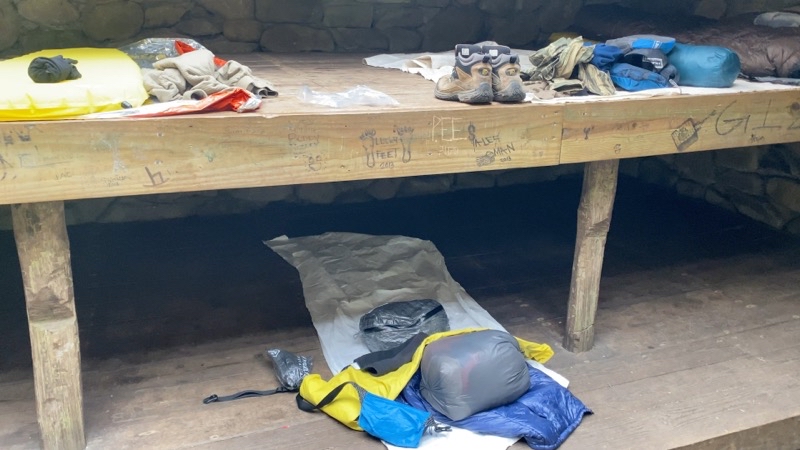
Not all that much to look at. With all the backpacks hanging just behind me on hooks attached to a huge log stretching from one end of the shelter to the other supporting the roof I can’t show you the whole shelter. Two sleepless ng platforms. If you use the lower one remember to mind the ceiling. My bed is on the lower bunk right there in the middle.
--April 14, 2021 at 4:15 PM. Sugarland Mountain Trail, Gatlinburg, TN, United States
April 15
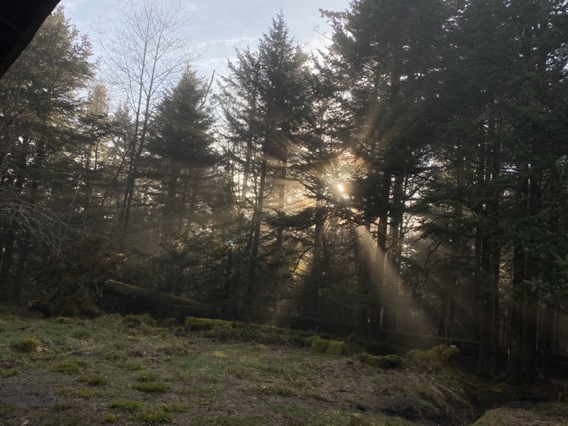
After a night of pounding rain that likely wasn’t as hard as the sound of it striking the roof of Mt. Collins Shelter implied we began our morning with slowly clearing skies. The sun is slowly piercing through the clouds and trees.
--April 15, 2021 at 7:51 AM. Sugarland Mountain Trail, Gatlinburg, TN, United States
My last day on the trail. The guys will continue on for 3 more days, 36 miles, and unknown amount of up and down, and 2 nights. I will continue on about 4 miles and catch a shuttle to Fontana Village Resort and Spa and stay there for 2 nights. Not the trip I had planned but the trip I have.
While we had no reason to be up and about before the crack of dawn people were certainly moving about the shelter not long after dawn broke and probably right around the official sunrise though we couldn’t see it. Some thru-hikers are definitely driven to be up and at ‘em. Thru-hiker Lightning falls into this group of people. Thru-hiker Re-Run (though maybe he’ll adopt Andy’s moniker of Overflow for his ability to stuff 46 pounds of food and gear into a 35 liter backpack that sure can’t comfortably carry anywhere close to that) was in far less of a rush to be on his way. Other people, some attempting a thru-hike and some not, were also slower to break camp and be on their way. Our group was no exception to this. The boys only had to go 8 miles and I wasn’t expecting my cab to arrive until 13:00 so I also had ample time.
The rain pounded the shelter throughout the night. I think it ended sometime after 03:300 but certainly before 05:00. Loud. Toss in the buzzsaw snores of various shelter-mates and the occasional flare of a headlamp as someone climbed out of bed to go answer Nature’s Call and I’d say sleep was adequate.
I had an OK omelette though again didn’t get the water quite right so it took far longer to firm up than it should have. Practice will make perfect and I’ll get the amounts right in time. Or I could just have hot drinks and cold food for breakfast. That would be quicker if nothing else. AS I ate we saw that the sky was beginning to clear and the sun pierced through the clouds and trees slowly warming and drying the land. It was a particularly warm morning yet but it was showing signs of being a pretty one: low 40s.
Steve, Duane, and Dennis pulled ahead of me in short order and were out of sight and earshot. Andy and Mike would leave a bit after me but would catch up in due time and likewise vanish out of sight and ear. Up and over the mountains I plodded. I wasn’t in too much of a rush which was good because I had to take time twice for a bio-break. But even with my laggardly pace and the breaks I reached Clingmans Dome at about 12:15 (later learned the boys got there around 11:45).
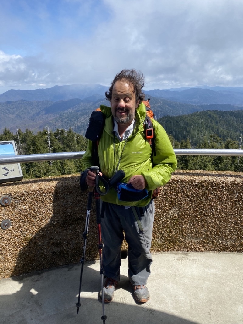
The cemeent ramp that twists around the observation tower in a gradually ascending spiral gave me a hint of how windy it would be on the observation deck. The air temperature hadn’t warmed up all that much and with a hat-blowing-off-head strong wind blowing I was not inclined to linger on the deck admiring the views in any of the available directions. I took my video and got a person to snap my photo but then hustled back down to the ground where the wind was slightly less intense.
You take a paved path down to the parking lot. It’s a half-mile long and drops you about 350 feet over that distance. I expect pushing a stroller, wheelchair, or walker up the path let alone controlling them on descent would be somethi8ng of a chore. But I didf see strollers and a walker on the pave path as I walked down towards the parking lot.
I ended up with a fair bit of time to kill as my cab was running late. Nothing to do but try and hide from the whipping wind and wait. Once he showed up it was a straightforward, though long, drive to Fontana Village Resort (we will leave aise expensive). I was checking in a bit before 16:00 and settling into the room not long after that. My hiking part of the trip was done.
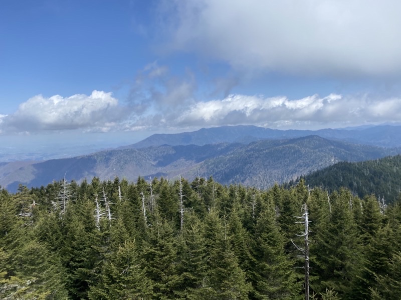
Just one view from CLingmans Dome. With the wind adding quite a chill to an only moderately sunny and not that warm day lingering on the observation deck was not something I was going to do. But when the sky is reasonably clear you get a sense of just how grand the views are up on the highest point of the Appalachian Trail.
--April 15, 2021 at 12:20 PM. Appalachian Trail, Bryson City, NC, United States
Can you tell the wind is blowing strong as I stand here on the observation deck at Clingmans Dome?
--April 15, 2021 at 12:22 PM. Appalachian Trail, Bryson City, NC, United States
April 17
The days at Fontana Village Resort and Spa have been full of might-have-been and should’ve-could’ve decisions. I had a lazy afternoon once I checked in and took a liesurely shower. The sun was just shining on the deck of the Wildwood Grill so that was where I set myself for an early dinner. I was in a pizza mood so taht is what I ate. Maybe not quite a reprise of the pre-hike dinner but close. I had an OK salad and a couple beers to go with the entré: pricy but it was good. Maybe if I had wandered about more I oculd have found hikers chatting and wormed my way into a conversation but I simply returned to my room and relaxed.
I had initially thought that on the 16th I’d either paddle Fontana Lake or do some hiking around the resort. I settled on the latter but I really never got all that far anywhere. They have a bunch of short trails twisting through the area but I didn’t really seek them out. I read, I ate, I talked with hikers I found down by the general store. I watched more sports cars roar in and their owners start talking about local drives, car parts, and more things automotive. A very lazy day.
The 17th dawned gray and a bit moist. Not really drizzle just damp. I hoped that would clear out as it had done before. I packed up my room and caught a shuttle to the marina. My plan was to paddle today. That plan died when I found they just had sit-on-top kayaks. I was not willing to leave my pack behind and didn’t trust it would stay secure on the sit-on-top. Had I known that was what they had I would have paddled the day before. I decided to hang out hoping enough people would decide to do the lake tour which I could join. That ended up not panning out either. I hosted my backpack and began walking up and over the hill the AT climbs that seperates the marina from Fontana Dam. By this time the sun was out and it was a lovely early afternoon. Too bad this plan was also doomed. At the top of the hill I finally realized that I did not have my fanny-pack. I was pretty sure it wasn’tat the marina and I hoped Fontana Resort house cleaning had found it in my room. Back down i went to get a shuttle to the resort. At least this worked out well and house-cleaning had found the fanny-pack.
I caught a shuttle to the dam and from there I walked the dam and to the AT trailhead where it turns to climb into the mountains and points north. This, finally, went as planned. An easy walk trying to recall what it had been like 18 years ago: and not really remembering.
I hung out arond the dam and in time, call it 16:20 or so, Andy strolled on by. I actually didn’t see him coming out. Poof. He was there. Not long after that Steve showed up. Arouind 17:15 Duane arrived at the AT junction with the road that leads to FOntana Dam where we had been waiting in Steve’s SUV. Time continued to pass and we continued t wait. And wait. Around 18:30 Mike and Dennis came into view and decided they didn’t need to walk another mile to reach the southern end of FOntana Dam. The hiking part of the trip, and thus really the trip, was officially done. Just a few hours of driving to fetch cars left near Clingmans Dome and Newfound Gap and then to find a hotel for the night. Yep, just 3.5 hours or so to do all that. A long day but a nice day.
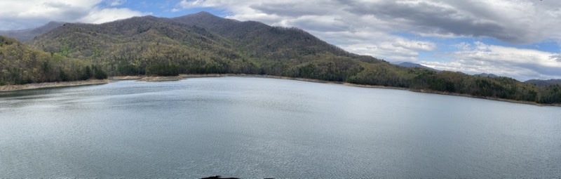
I wish I had paddled some of Fontana Lake the previous day when I could have left my backpack in my room at the Fontana Village Resort. Instead I am settling for views from the dam.
--April 17, 2021 at 3:44 PM. 16001–16099 Fontana Dam Rd, Robbinsville, NC, United States
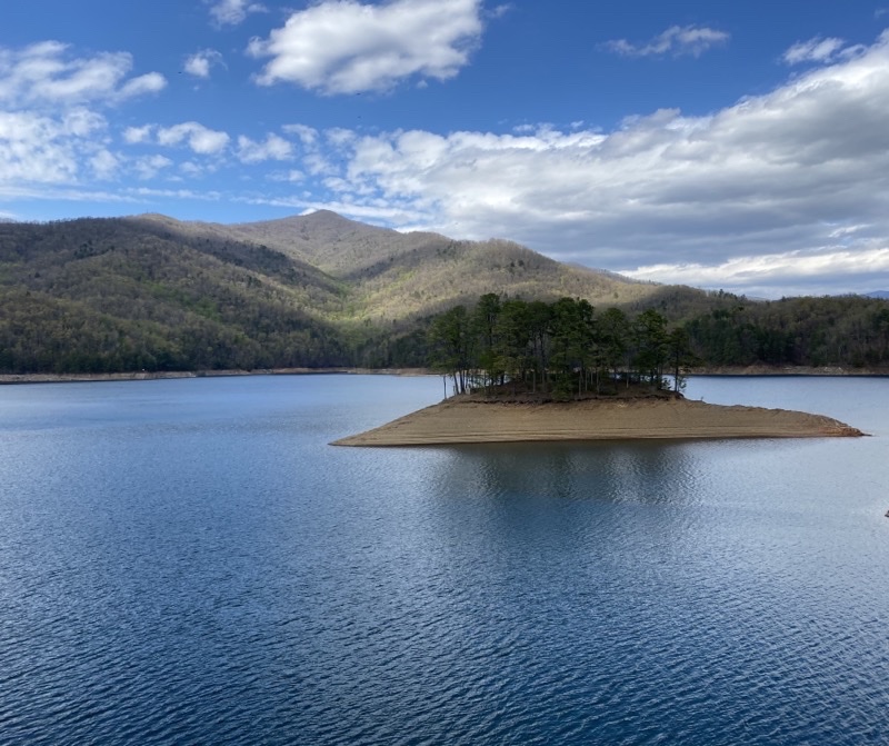
Near the southern end of the Fontana Dam. It is a lovely afternoon.
--April 17, 2021 at 4:13 PM. 1006–1022 Fontana Dam Rd, Robbinsville, NC, United States
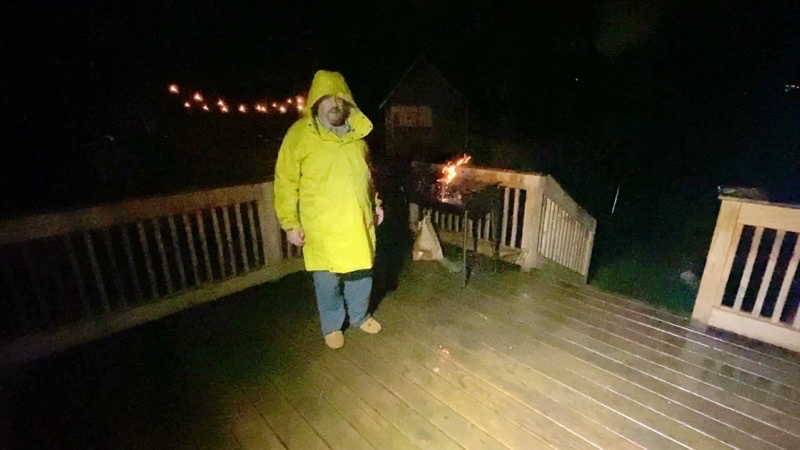
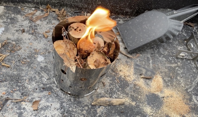
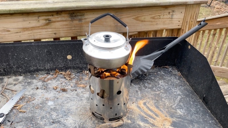
The Brennerle Hobo Stove is burning a loosely pack Swedish fire torch style of fire in the rain.
Brennerle Hobo Stove in the Rain
The blush has not worn off the newness of this wood burning stove. I decided to see how, without trying very hard, it would be to get it lit and burning well in the rain. I had a couple split rounds of wood and a bunch of small logs that I could create a loose Swedish fire torch. Normally you create such a torch with a pretty tight packing of the wood leaving a small open cylinder in the midle for the kindling to go. In this burn my torch was much more open which I have no doubt affected how well it burned and how much kindling (fire starter) was needed to get the chunks of wood properly burning.
with all of that being so the fire still burned well for well over 40 minutes and probably was working off the coals for a lot of that time. Had I been paying proper attention I am confident both my two-cups of boiling water and my large chocolate chip muffin would have cooked completely. Given that I threw this together without trying that hard I am confident that had I proplery nurtured the fire I would have had an effective cooking stove for a considerable length of time.
The Brennerle Hobo Stove. I have loaded it Swedish Totch style and at this point it has been burning for about 2 minutes
I first learned about the Brennerle wood burning (Hobo) stove from the review done by Woodswalker 1965 (https://youtu.be/k49TFd9R3-U). I probably have more than enough wood burning stoves but this intrigued me so I bit the bullet and purchased the stove. It took about 2 weeks to get here from Germany.
This is not a review. It is a first-use test of the stove. Take it for what it is worth. I got a good strong fire burning and certainly could have cooked quite a bit more had I wanted too. The stove does pack, in its folded state, to a very compact size. The stove in its case weighed in at 258 grams which is about what I expected. I purchased the solid fuel plate, Trangia burner plate, and low-rise pot supports but have not used them yet. Those items weigh 104 grams in their ziplock bag.
The Brennerle is definitely burning well. I believe I had a good cooking fire for about an hour. I’ve no doubt I could have made the boiling water, re-heated my leftovers and baked my chocolate chip muffin had I managed time better.
I apologize for the mediocre audio. This was something of a spur-of-the-moment video just shot with my iPhone and I think my hand kept covering the microphone which is why the audio fades in and out.
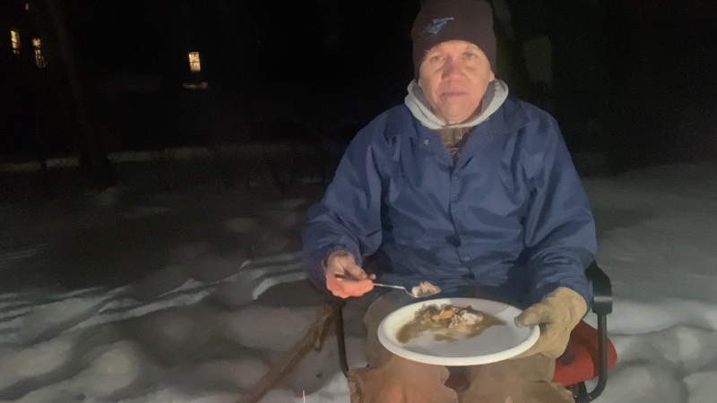
The Pork a la Normand was definitely the best part of our outside dinner.
Let’s get this out in the open right away: I am an adequate cook. I think people like my parents enjoy cooking far more than I do. I’m sure a large part of this is that I really only cook for myself and so it feels a lot more like work that absolutely must be done. there is more pleasure to be had when someone else eats what you make. I do like to eat and now and then I really want to experiment especially if the experiment can be turned towards ideas for camp cooking and even more towards meals when backpacking. The food I made for this dinner outside could fall in the former category. I can imagine these dishes, less so the egg rolls because they require more prep work, being served at an inn or at home sitting by a fire. They’re not really suitable for backpacking.
The video chronicles the dinner Lil and I had. Each dish is described in more detail below.
V
Egg Rolls
The egg rolls were cooked using modern equipment. I probably could have steamed or boiled the filling ingredients but instead after chopping them up into small pieces I tossed them into a large bowl and used my microwave. I suppose that might create a different taste but it worked for me. I baked the egg rolls instead of deep-frying them. I’m nervous with that much oil and though no doubt a baked version will be different in texture and taste I think it is still quite good.
I filled the egg rolls with potatoes, carrots, and cabbage. Everything was chopped into small pieces. I used frozen baby carrots and new potatoes that I did not peel. I also took some thinly slice and then cut into pieces ham and that into some of the egg rolls. Each egg roll was able to hold about 1/3 of a cup of filling.
To seal the egg rolls I moistened the edge of the wrapper with water and then folded it down upon itself. I lightly oiled the egg rolls before placing them seam-side down on a baking sheet. They baked for about 12 minutes at 425°F (about 220°C).
These are definitely a tougher thing to make over a camp stove or inside a dutch oven. It could be done but I’m glad I went modern. The results were quite good. The ones Lil and I had were reheated over the fire within a oven-like container (pan with an inverted pie plate on top). I served them with two dipping sauces: a honey-mustard sauce and a soy sauce with garlic that I typically use as a marinade for steak and particularly like. The honey-mustard sauce was the preferred option.
Welsh Rabbit
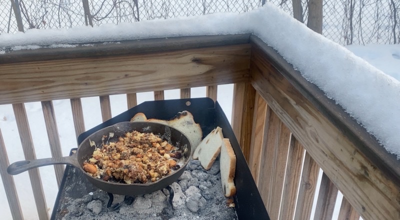
The Welsh Rabbit has too much breadcrumbs and, in combination, not enough cheese. But it is melting somewhat as my bread slices get toasted.
I’ve no idea why this is named what it is. Sometimes you’ll see it as Welsh Rarebit which in some ways makes even less sense. No rabbit is involved and I am not sure what a “rarebit” is. It comes in many forms most of which are much more like a fondu than this is. This version is simple to make which is why it got the nod for this dinner outside. I first found it on a James Townsend and Son video (link
).
I ended up making breadcrumbs with 4 slices of a white bread. I used perhaps 2 ounces of butter and 6-7 ounces of cheese after all was said and done. While it ended up being consumed and liked there was too much bread and compared to the cheese. I can see 1 breadcrumb slice, at most 2, being plenty.
For whatever reason I seem continually unable to buy those jars of Panko breadcrumbs so I just took a shot at making my own by putting broken up slices of bread in the toaster-oven and baking them at 425°F (about 220°C) for 10-12 minutes. Then I crumbled them up even more.
I think typically this dish would be made with an aged cheddar cheese. All I had available were a bunch of sliced Munster so I used that.Cut (or torn) into smaller pieces. If done correctly I can see this as a very tasty, especially in cold weather, comfort food.
Pork a la Normand
This was the course that was leaps and bounds better than the over two. The egg rolls with their homemade honey-mustard sauce and soy-garlic dipping sauces were quite good and the Welsh Rabbit was enjoyed but the Pork a la Normand was superb.
I first encountered this dish in another Towsends video (link) and their blog post. I adjusted it down somewhat because I wasn’t going to use quite that much pork.
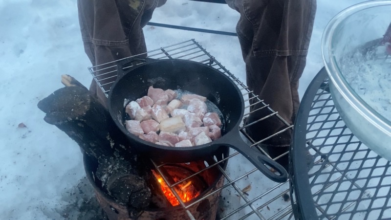
Browning the flour-coated cubes of pork over the fire. I’m not sure why my Dutch oven never seemed hot enough with the first batch of coals. It certainly was hotter with the second set. Cooking on this grill over the open fire worked.
1 Granny Smith Apple. Cored, peeled, cut into small pieces.
1 Modest-sized onion (I used about half of what was once a truly huge red onion and I think the flavor was wonderful). Cut into small pieces.
1 pound (likely a bit less) boneless pork loin chops. Cubed.
1/4 cup flour.
1 12-ounce can hard cider though I bet regular cider would be good too.
1 Tablespoon black pepper (could’ve used a bit less though LIl loved it).
1 Teaspoon salt (could’ve used a bit more).
1 Teaspoon ground nutmeg (maybe a bit more next time).
Butter or oil (I used butter that I let melt) a preheated skillet or dutch oven bottom.
Cut the pork into bite-sized cubes (or so) and coat with the flour. Place the pork in the pan and sear it until it browns on all sides. Remove from the pan and put somewhere to keep warm. You’ll add it back in a bit.
Sauté the chopped apple and onion pieces until the onion starts becoming translucent. Add the seasoning and cider.
Bring the mixture to a boil and simmer for a couple minutes before returning the pork cubes to the mixture. Cover and cook until the gravy thickens. This should take 30-40 minutes.
For one reason or another sometimes I do not post much of anything about a trip I have tkaen. This happens even when I have material I could share. Perhaps I just don’t feel a strong urge to share anything at the time. Perhaps I think the photos, videos, or written thoughts I may have had aren’t really good enough. Perhaps I was just lazy. However, now and then I go through old material to see what memories are forced to the surface.Because of this and some prompting from others I am going to slowly and likely with no real process in mind start to share what hasn’t been shared before.
Rae Lakes Loop in Kings Canyon National Park: August 31 through September 6, 2017
Andy and I visited the Rae Lake May 2016 and only went as far as Dollar Lake. There was plenty of snow and the snow-line was, as I recall, around 9,400 feet. streams were flowing with great vigor and we made much use of our Crocs as water shoes. It was a totally different experience for us than this late-summer trip would turn out to be. That may be an obvious statement but it bares keeping in mind. For Steve and Mark this was their first backpacking trip. It was a 45th birthday treat for him. We had already changed our plans at the last minute so we wanted it to be good (fires closed Yosemite and we switched to the Rae Lakes Loop. This decision was made as I was flying to California to get to Yosemite a day before everyone else to secure a backcountry permit). With all that in mind we got ourselves to Kings Canyon National Park mid-afternoon of August 31, 2017 and got ready for what we all hoped to be a wonderful trip. The photos and video that follow will hopefully give you a good idea of just how well we did.
Andy and I got up early to drive over to the backcountry ranger station at Road’s End. We wanted to be there before anyone else might show up to try and get walk-up permits for backcountry travel. A very limited number, as I recall it was 5 per direction of travel, of permits are given each day. We had 4 people in our group so 4 permits were required. It was a good thing we got there as early as we did. A lady backpacker arrived maybe an hour after us: she got the last clockwise-travel permit.
--August 31, 2017 at 5:44 AM. Woods Creek Trail, Shaver Lake, CA, United States
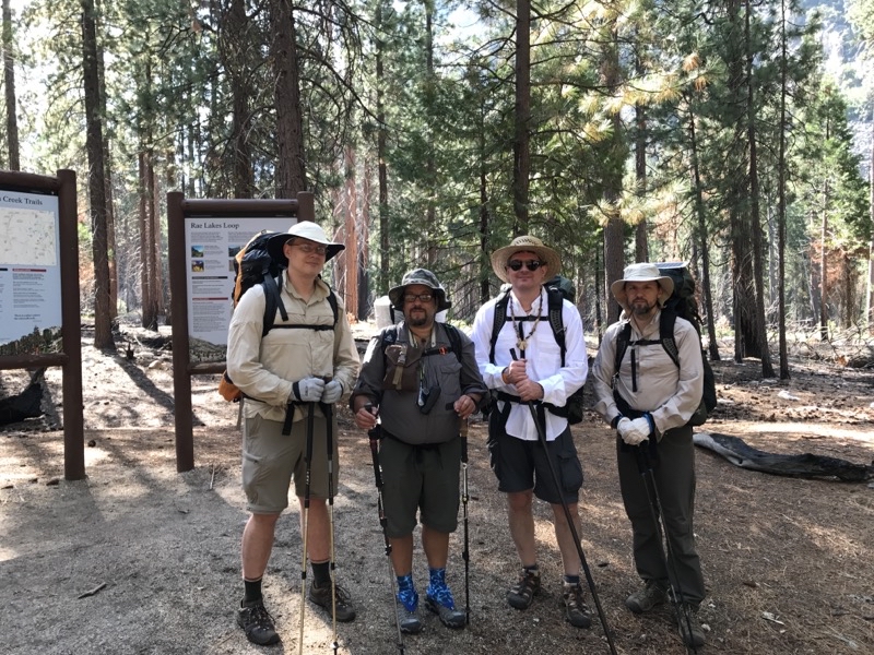
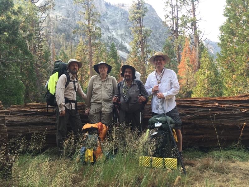
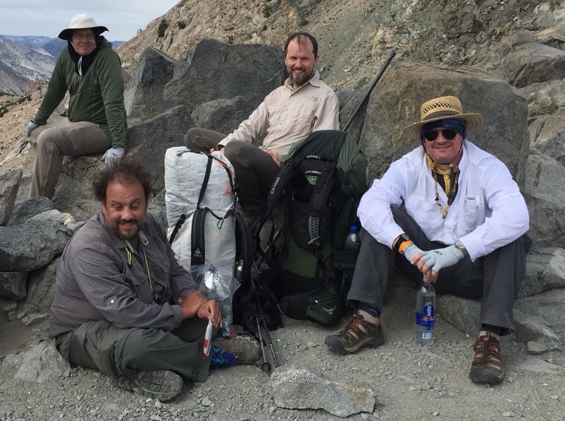
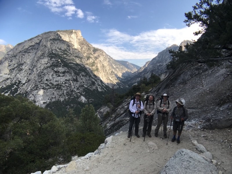
Left to right: Steve, Ken, Andy, Mark. With our packs on we got this photo taken at the ranger station at Road’s End in Kings Canyon National Park.
--August 31, 2017 at 9:27 AM. Woods Creek Trail, Shaver Lake, CA, United States
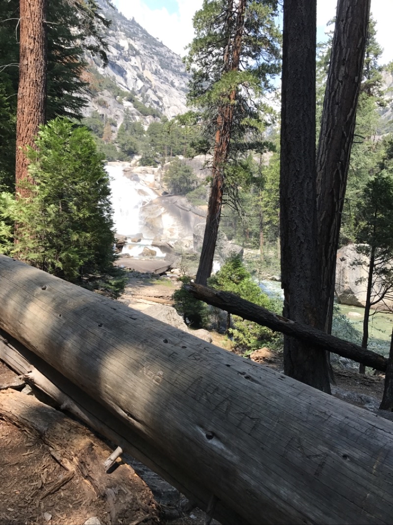
The trail is initally pretty gentle before it swings northward along the South Fork Kings River and rapidly ascentds to Mist Falls. This is a remarkable set of waterfalls of violently frothing water that is a great place to take a break before the push up and on towards Lower Paradise Valley.
--August 31, 2017 at 11:32 AM. Woods Creek Trail, Shaver Lake, CA, United States
Still in the area of Mist Falls which are definhitely a dayhike worth doing if you aren’t planning a backpacking trip.
--August 31, 2017 at 1:13 PM. Woods Creek Trail, Shaver Lake, CA, United States
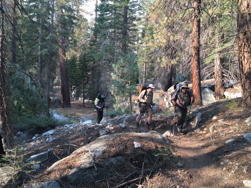
We’ve left Lower Paradise Valley where we camped our first night. Almost right away we had to cross some flowing water over downed logs. hoto by Andy
--September 1, 2017 at 8:50 AM. Woods Creek Trail, Shaver Lake, CA, United States
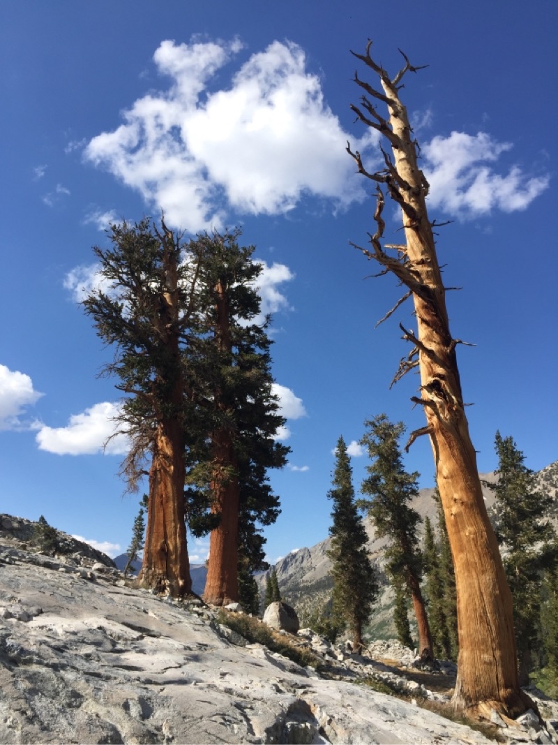
You never find small downed trees in this area even if they aren’t Sequoias (though I think this one was).
--September 1, 2017 at 9:42 AM. Woods Creek Trail, Shaver Lake, CA, United States
Now and then as we gradually ascended you enter a somewhat more open area such as this. Photo by Andy.
--September 2, 2017 at 9:58 AM. Pacific Crest Trail, Shaver Lake, CA, United States
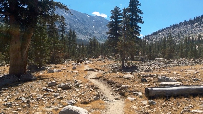
We watched this bear move back and forth along the trail for several minutes. I think it is unlikely the bear did not know we were there as it was quite open terrain and we certainly had no trouble seeing the bear (well I could see it with my monocular). The bear was probably 50 or so yards away though it sure looks closer in the photo. Photo by Andy.
--September 2, 2017 at 11:40 AM. Pacific Crest Trail, Shaver Lake, CA, United States
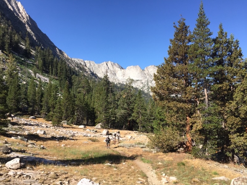
It really opens up after you leave the vicinity of Woods Creek and continue on towards the Rae Lakes Basin. At this point though we are likely within a mile of Dollar Lake on a lovely sunny afternoon. Photo by Andy.
--September 2, 2017 at 3:17 PM. Pacific Crest Trail, Shaver Lake, CA, United States
Just a hop, skip, and a jump from Dollar Lake. Trees are growing a bit scarcer but by the lake they abound. Photo by Andy.
--September 2, 2017 at 3:46 PM. Glen Pass S, Shaver Lake, CA, United States
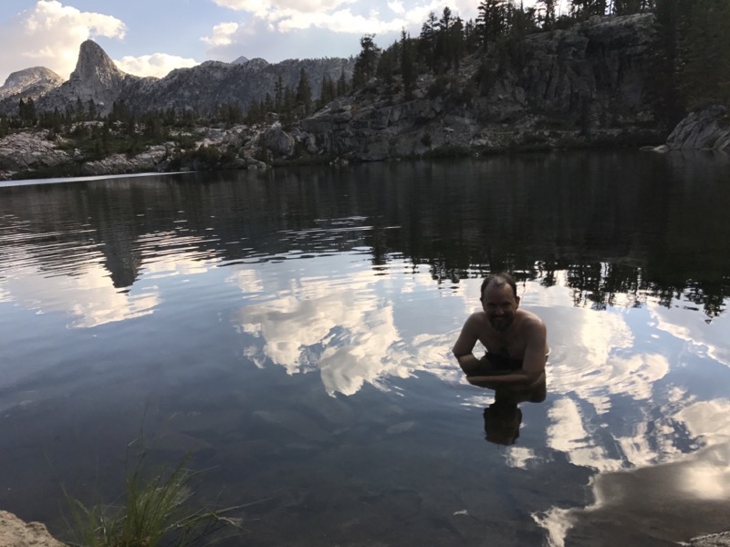
Mark is in the chilly water of Dollar Lake. It did wonders to wash off trail grime but it is definitely chilly. Photo by Andy.
--September 2, 2017 at 4:53 PM. Glen Pass S, Shaver Lake, CA, United States
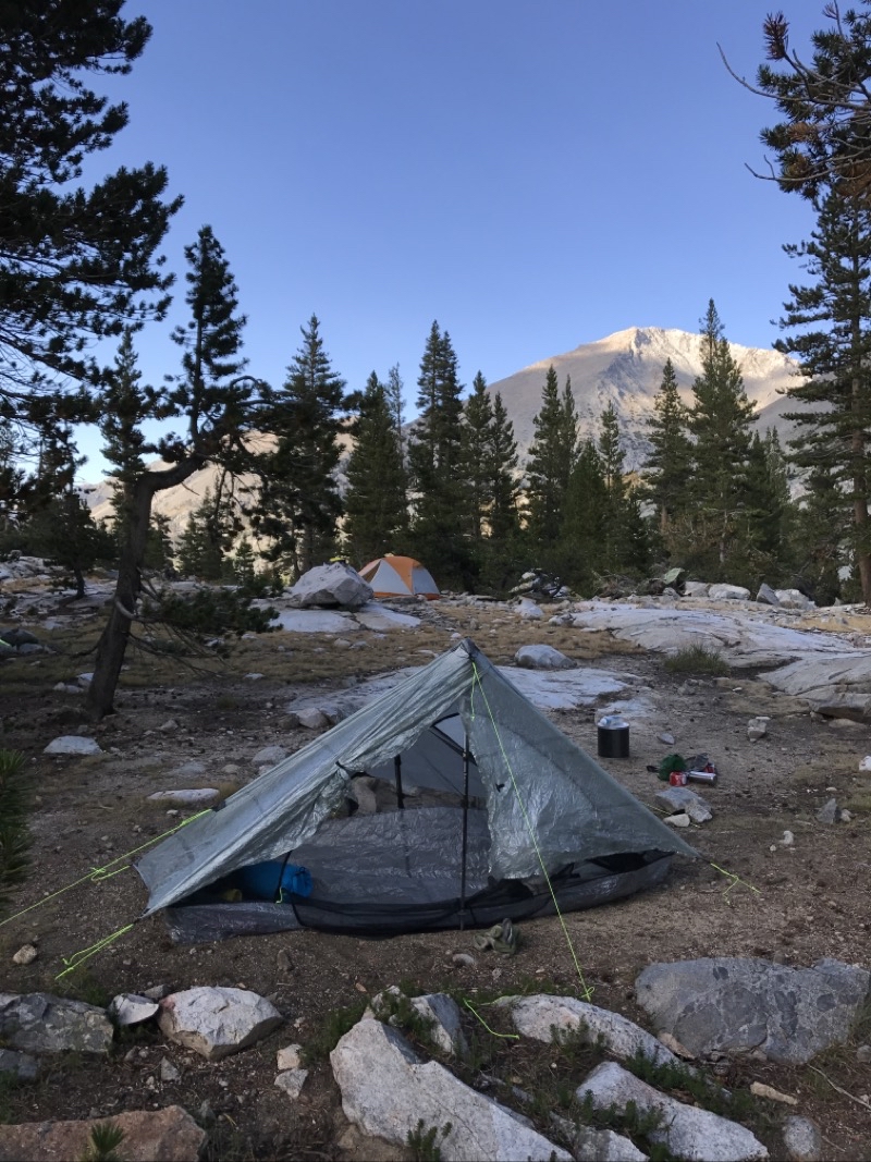
Our campsite at Dollar Lake. we would move our bear canisters a bit farther away from where they currently are (though probably could’ve been moved farther than we put them). On our way to Dollar Lake we saw a good sized black bear crossing the trail.
--September 2, 2017 at 5:11 PM. Glen Pass S, Shaver Lake, CA, United States
It is approaching sunset at Dollar Lake. This really is a lovely spot to stop if you want to take your time in the region of the Rae Lakes Basin.
--September 2, 2017 at 6:09 PM. Glen Pass S, Shaver Lake, CA, United States
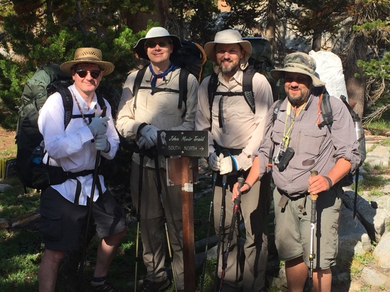
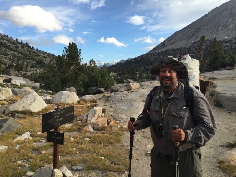
Yes, we are on the John Muir Trail.
--September 3, 2017 at 9:25 AM. Glen Pass S, Shaver Lake, CA, United States
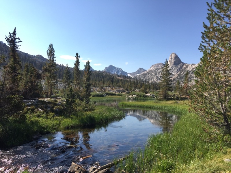
Arrowhead Lake.
--September 3, 2017 at 9:40 AM. Glen Pass S, Shaver Lake, CA, United States
Arrowhead Lake again. It took us a while to pass this lake. Sure was lovely.
--September 3, 2017 at 10:23 AM. Glen Pass S, Shaver Lake, CA, United States
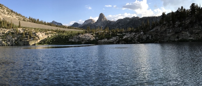
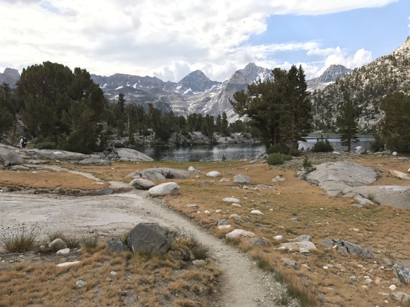
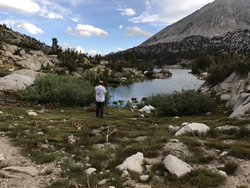
Rae Lake is in view.
--September 3, 2017 at 10:49 AM. Glen Pass S, Shaver Lake, CA, United States
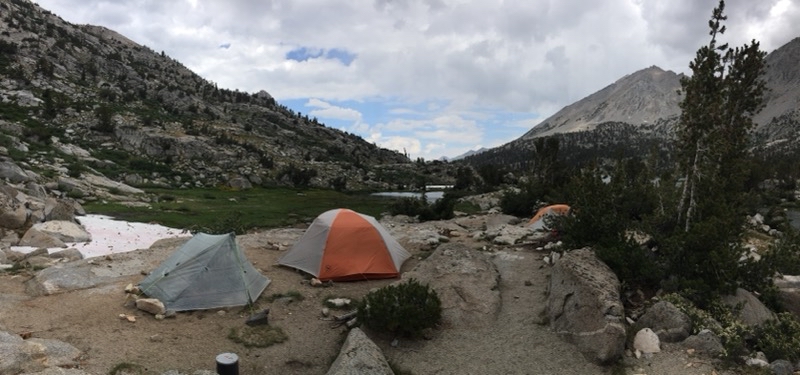
Our campsite within the 60 Lakes Basin. Rae Lake can be seen in the background. Andy and Mark will scamper off on a short dayhike to explore a bit. Steve, who was feeling unwell, got some much needed rest. I just hung out around camp, napped maybe a bit, and just relaxed. Photo by Andy.
--September 3, 2017 at 5:04 PM. Glen Pass S, Shaver Lake, CA, United States
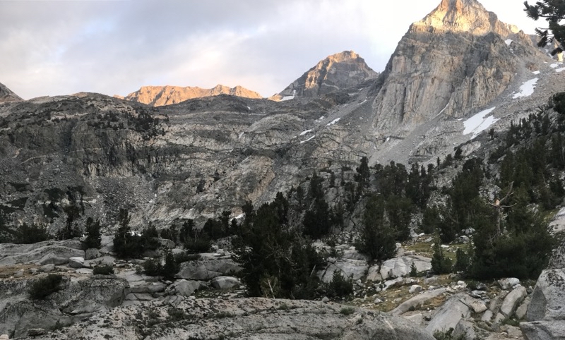
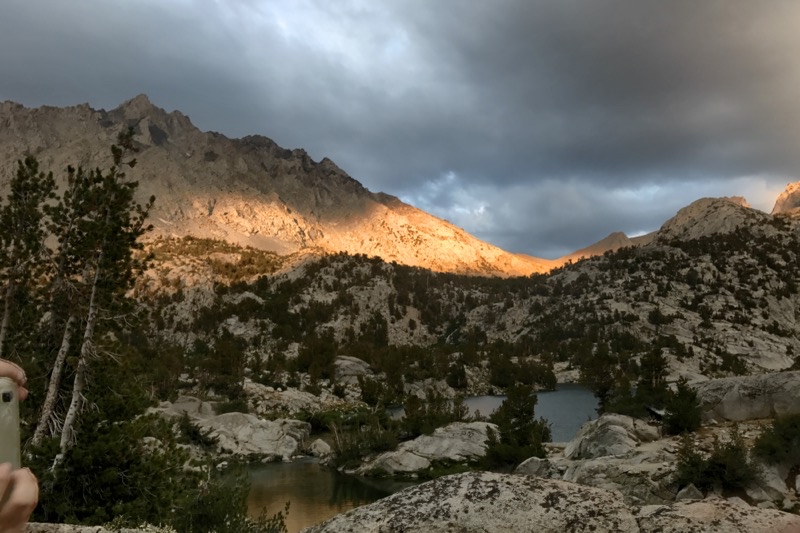
Here comes the alpinglow.
--September 3, 2017 at 6:46 PM. Glen Pass S, Shaver Lake, CA, United States
Dinner under a mixed-up sky.
--September 3, 2017 at 6:49 PM. Glen Pass S, Shaver Lake, CA, United States
Good morning. We were up before sunrise so we could tackle Glen Pass and be sure to be on our way down the other side before any afternoon storms. Photo by Andy.
--September 4, 2017 at 7:31 AM. Glen Pass S, Shaver Lake, CA, United States
Leaving the 60 Lakes Basin.
--September 4, 2017 at 7:26 AM. Glen Pass S, Shaver Lake, CA, United States
We are climbing up to the pass.
--September 4, 2017 at 7:57 AM. Glen Pass S, Shaver Lake, CA, United States
The wind is rising and the temperatyre is dropping.
--September 4, 2017 at 8:14 AM. Glen Pass S, Shaver Lake, CA, United States
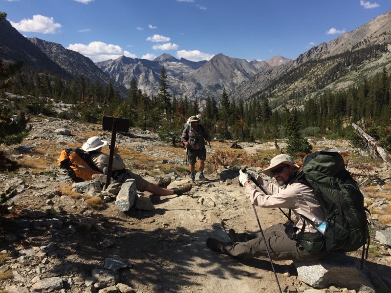
Andy has forged ahead. Mark and I are taking a break as we wait for Steve to catch up. We are almost to the top.
--September 4, 2017 at 10:39 AM. Glen Pass S, Shaver Lake, CA, United States
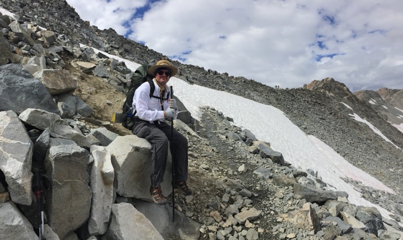
Almost to the pass. Just have to push through the snow and go a little bit farther. Photo by Andy.
--September 4, 2017 at 10:44 AM. Glen Pass S, Shaver Lake, CA, United States
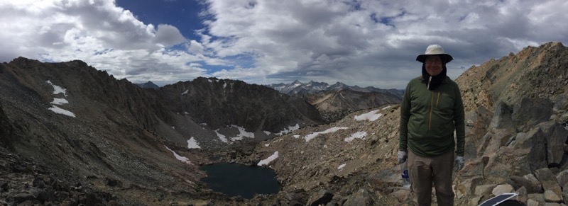
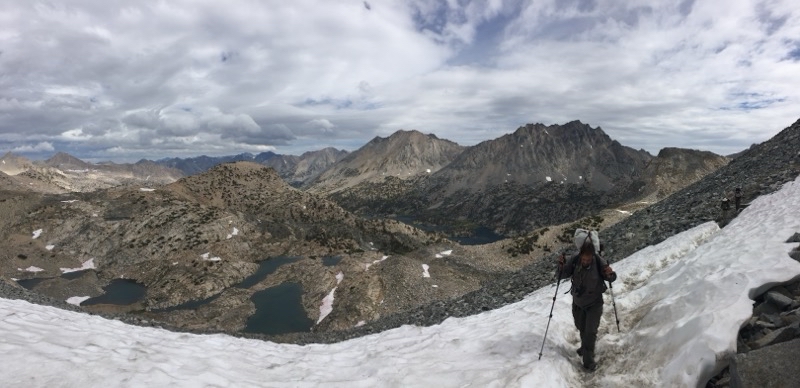
It took about three hours and 20 minutes to reach the pass but I made it. Everyone else did too. Looking ahead to what we have to do send towards.
--September 4, 2017 at 11:15 AM. Glen Pass S, Shaver Lake, CA, United States
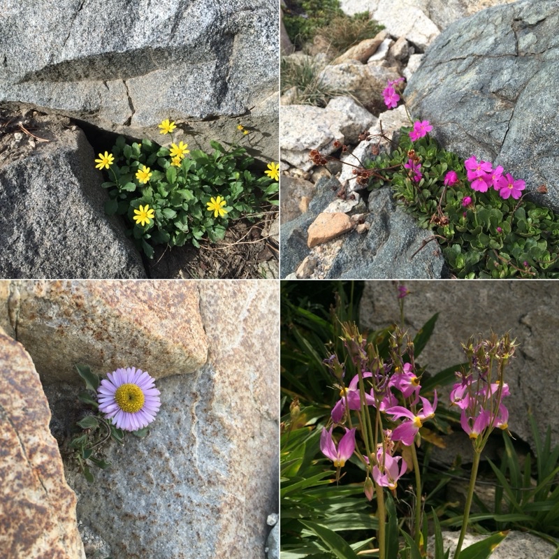
Wildflowers of Glen Pass. Photos by Andy.
--September 4, 2017 at 11:15 AM. Glen Pass S, Shaver Lake, CA, United States
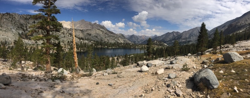
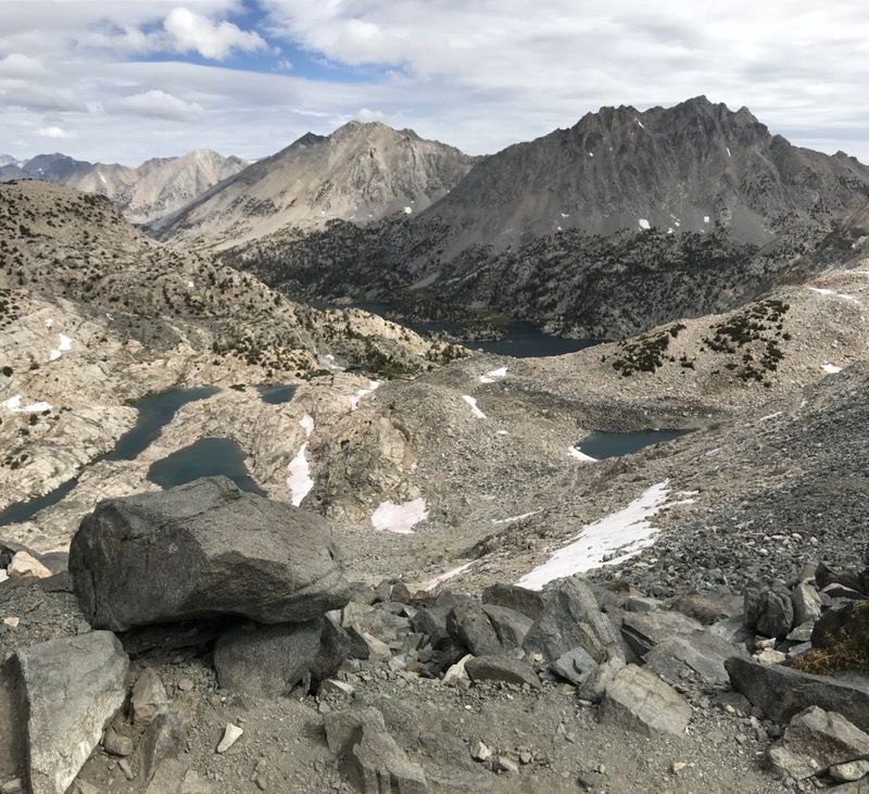
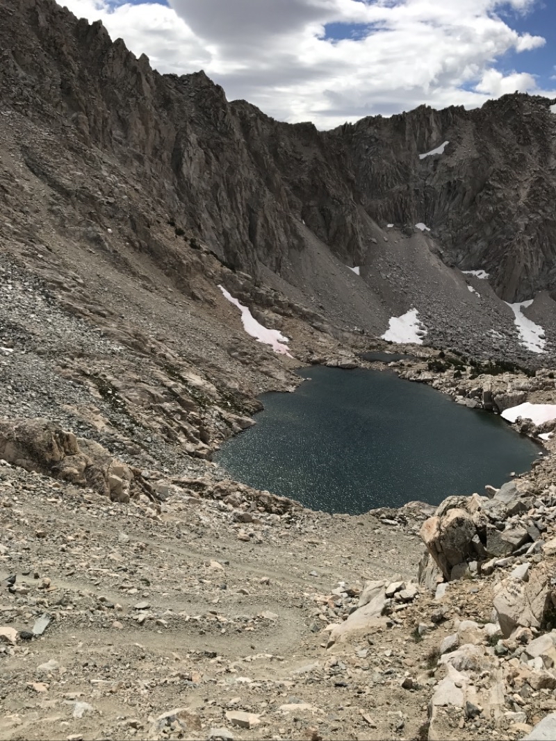
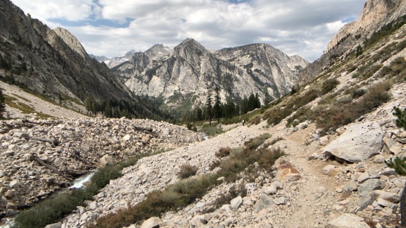
Heading southward off of Glen Pass we would descend steeply down a rocky and somewhat scree-like trail. This still slightly snow-bound tarn would be in view much of the way down.
--September 4, 2017 at 11:36 AM. Glen Pass S, Shaver Lake, CA, United States
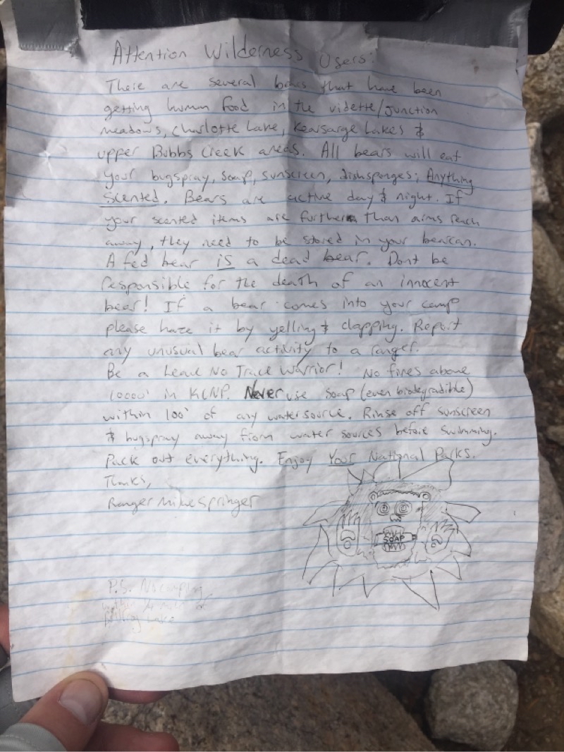
As if we needed more proof that bears are active in the region. We watched a good-sized bear wander back and forth across the trail a couple days previously. Now we encounter this notice by the trail junction to Charlotte Lake. We were continuing on to Vidette Meadow. Photo by Andy.
--September 4, 2017 at 2:51 PM. Vidette Switchbacks, Shaver Lake, CA, United States
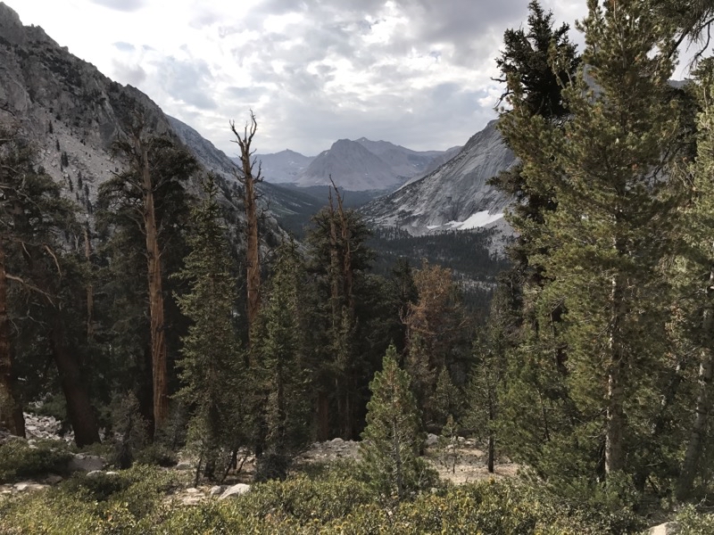
Well back amongst the trees.
--September 5, 2017 at 8:45 AM. Vidette Switchbacks, Shaver Lake, CA, United States
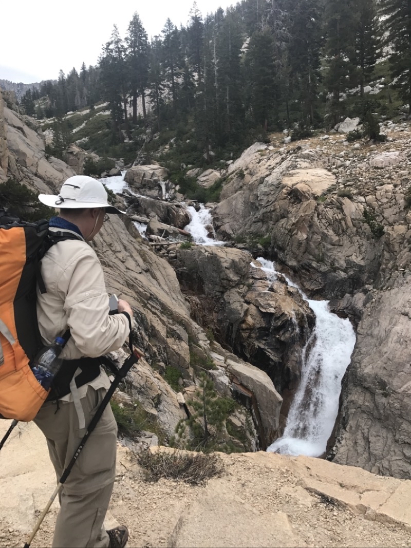
It’s hard to see why they call the roaring torrent of water merely a creek: Bubbs Creek froths below.
--September 5, 2017 at 10:46 AM. Junction Meadow Switchbacks-Bubbs, Shaver Lake, CA, United States
We had a nice break at this set of waterfalls along Bubbs Creek.
--September 5, 2017 at 11:08 AM. Junction Meadow Switchbacks-Bubbs, Shaver Lake, CA, United States
Leaving our last camp by the Sphinx. It’s a lovely morning.
--September 6, 2017 at 5:46 AM. Junction Meadow Switchbacks-Bubbs, Shaver Lake, CA, United States
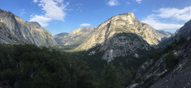
The trail from Sphinx down to the crossing of Bubbs Creek is a modest descending well built and wide trail. We weren’t in a hurry.
--September 6, 2017 at 8:47 AM. Junction Meadow Switchbacks-Bubbs, Shaver Lake, CA, United States